Aerial photos - Marion/Russell Area
These aerial photographs are from the first part of the tornado's path.
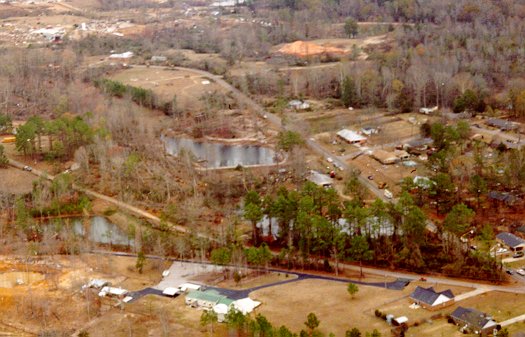
Near the beginning of the tornado. This is looking north-northeast along Old Homestead Road.
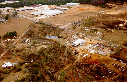
This is looking northwest, with Northeast Industrial Park in the background.
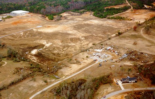
A damaged house and tree damage just east of the Industrial Park. It was just north of here that the tornado turned more northeasterly.
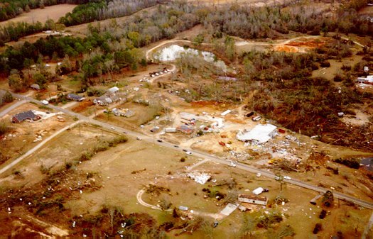
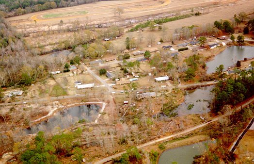
Looking back south over Marion-Russell Road.
Looking east now, also along Old Homestead Road.
Aerial Photos from a wooded
area north of Russell
Aerial Photos from the Dalewood
area
Back to 12/16/00 Russell-Dalewood
Tornado
![]()
Page last modified 31 December, 2003