|
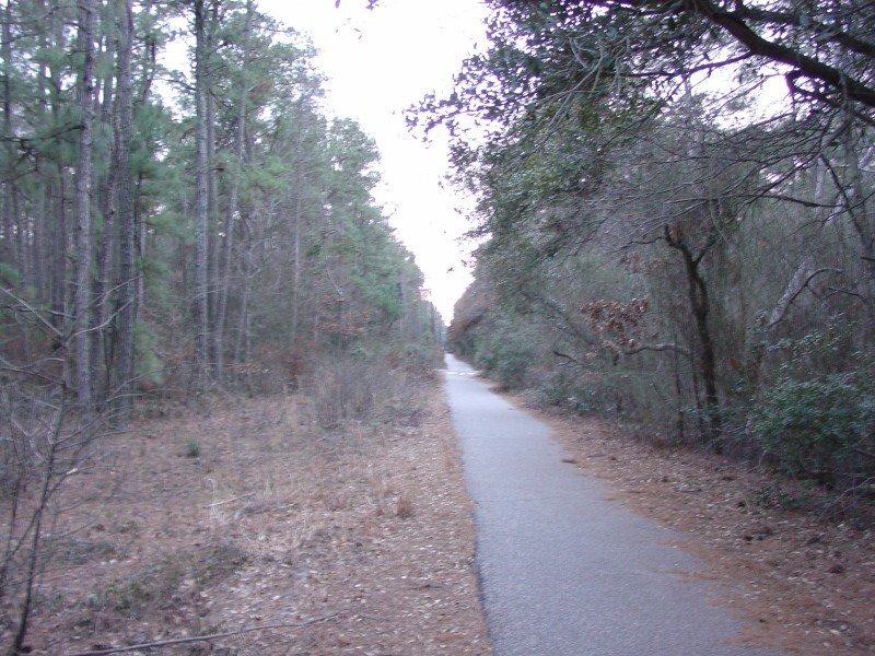
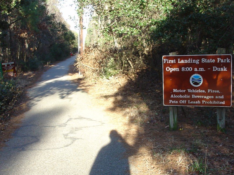
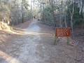
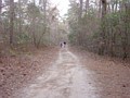
The Cape Henry Trail pictured above leads into a
pedestrian access into First Landing State Park, photographed here. This
is just east of Kendall St, looking east into the park. |
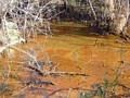 |
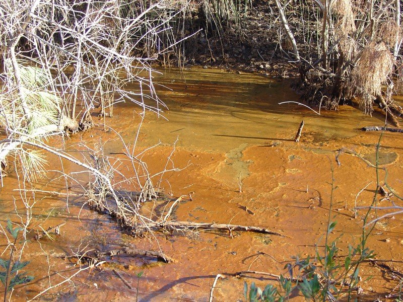
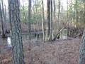
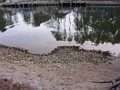
As most of the Hampton Roads region is either current
or former swampland, there is a lot of brackish water in the area. This
particularly brown water was just off the main trail. |
 |
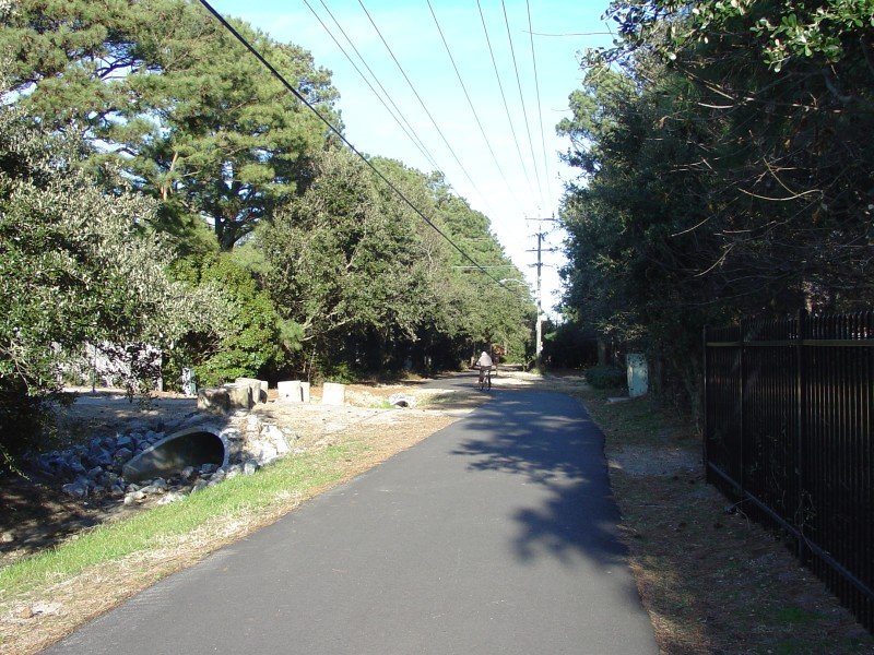
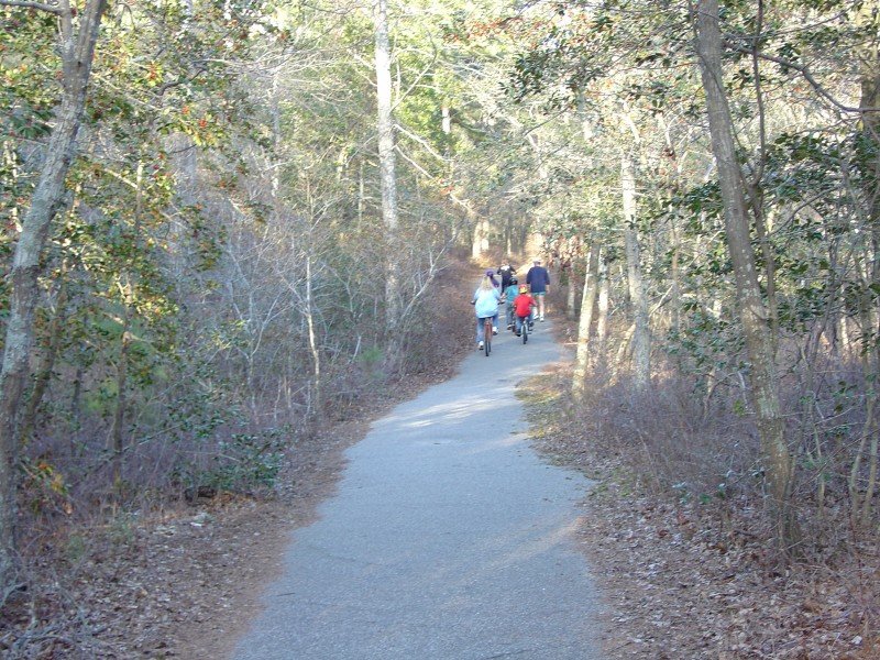
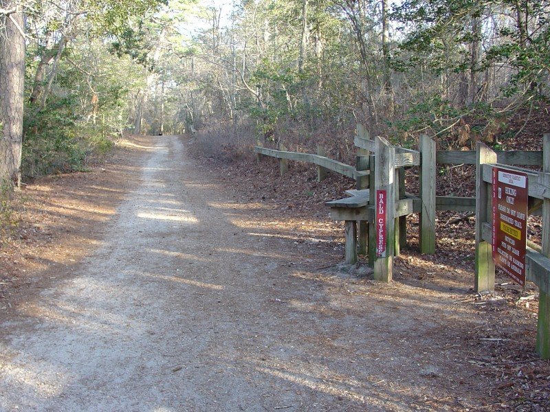
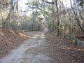
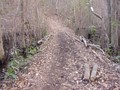
Looking east. At this point, the main trail
leaves what used to be a Norfolk Southern RR right-of-way and follows near the
main vehicle access into the park. |
|

 |
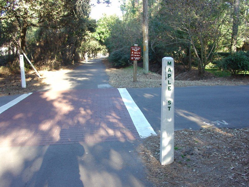
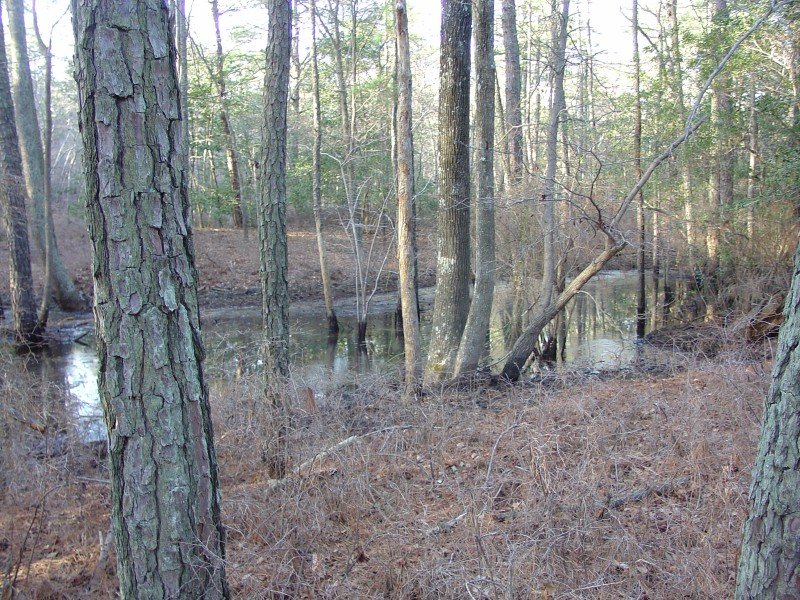
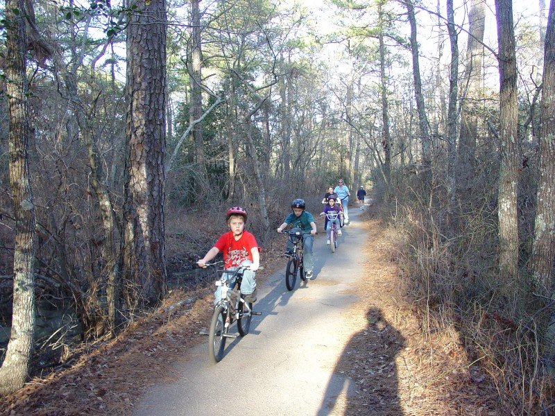
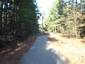
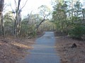
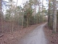
This segment of the main trail, between the north
park entrance and the visitor center, is paved. Later on, the trail
surface is mostly gravel. |
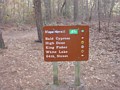 |
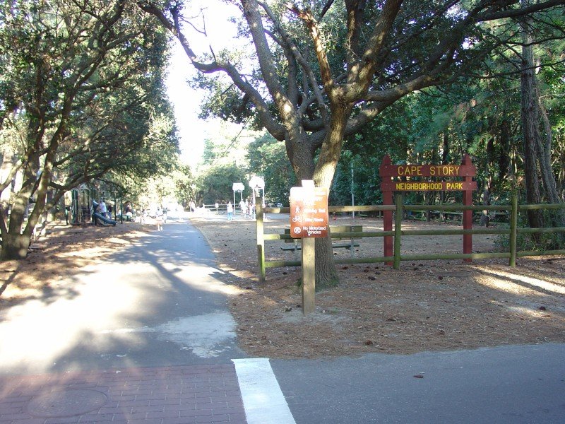
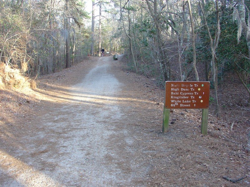
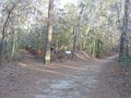
Sign near the visitor center showing directions to
various trails/locations in the park. The main trail, which extends down
to 64th St on the Virginia Beach oceanfront, is the only trail where bicycles
are authorized. |

 |
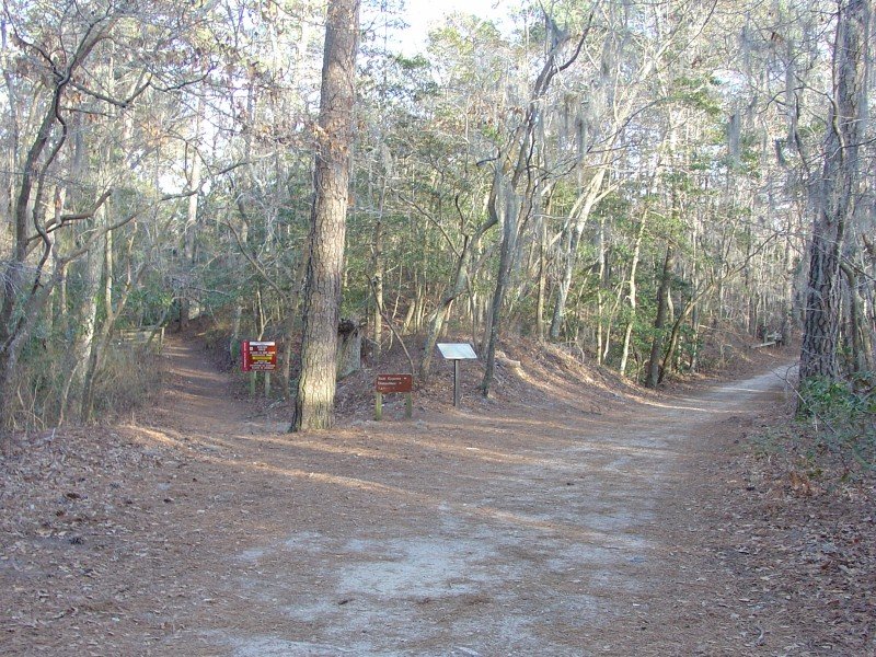
Access to the Bald Cyprus trail, with another trail
destination sign a little further down. The rest of the trail from here
down to 64th St is gravel, and follows an old trail route that has existed for
decades. |
 |
The other half of the Bald Cyprus trail splits off to
the left. |
 |
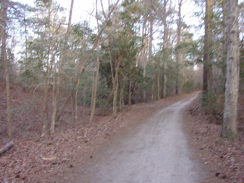
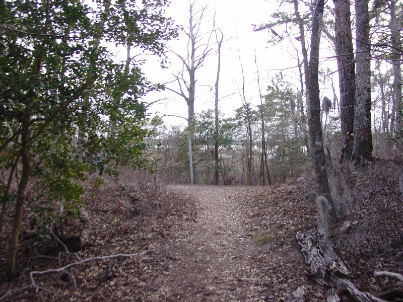
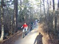
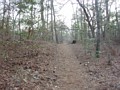
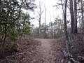
More photos heading down the main trail. |
 |
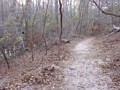
Various scenes along the Kingfisher Trail, which runs
from the main trail down to the Long Creek Trail. Most of the trails in
the park are of this natural, sometimes hilly variety. There are a couple
small rises that the Kingfisher Trail crosses. |
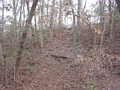 |
An example of one of the hills and small rises
scattered around the park. |
 |
The Kingfisher Trail ends at the Long Creek Trail. |
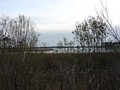 |
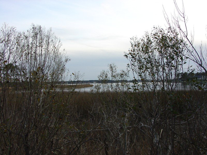
Looking out across Broad Bay from off the Long Creek
Trail. |
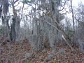 |
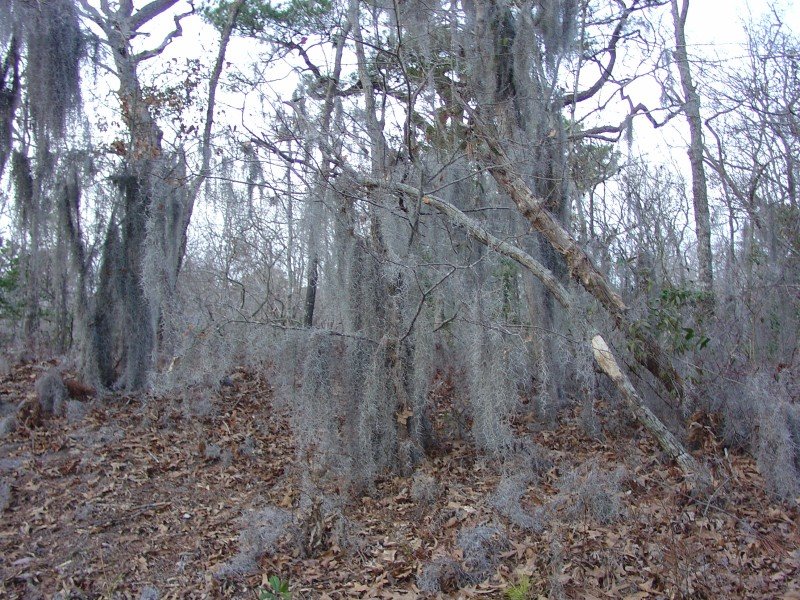
This drooping kind of tree is occasionally found
within the park. I'm not sure what the name of this tree type is. |
 |
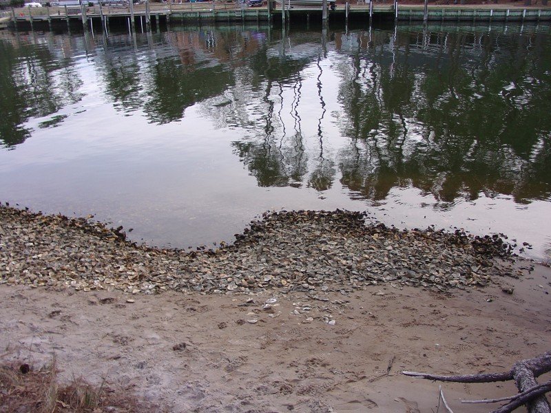
Some shells along the edge of Long Creek. |
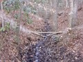 |
A makeshift bridge across a muddy stream along the
Fox Run Trail, which runs between the Long Creek Trail and the main vehicle
access road. |
 |
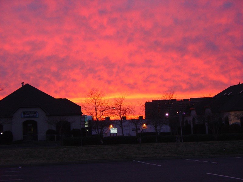
Back at my car, I took this shot of a very colorful
sunset. The sunset was noticeable enough to get mentioned on a couple of
the area radio stations. |