Alabama Highway Scenes
This page documents photos from various locations in Alabama. They are loosely organized by route type, then by route number. Unless otherwise noted, all photos were taken by the webmaster. Click on a thumbnail for a larger image.
|
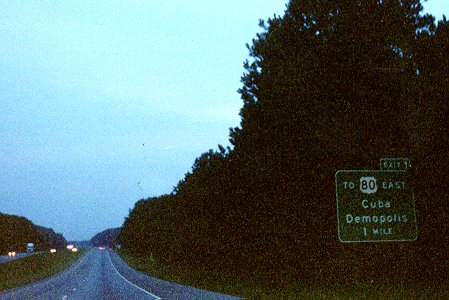
| This sign is actually in Mississippi, but is for the first exit on east(north)bound I-20/I-59 in Alabama. An Alabama Welcome Center and Rest Area is just before the exit. Incidentally, the deceleration lane for the rest area starts right at the state line and there's a short auxiliary lane between the Rest Area's re-entry ramp and the off-ramp for Exit 1. The state line is at the top of the small rise, about where that car's taillights are at. Photo taken in 1998. |
|
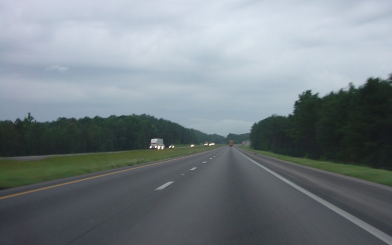
| Further east(north)bound, this time east of Boligee. This scene is fairly typical of I-20/59 between Mississippi and Tuscaloosa. Photo taken June 29, 2004. |
|
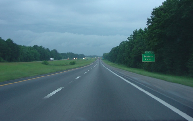
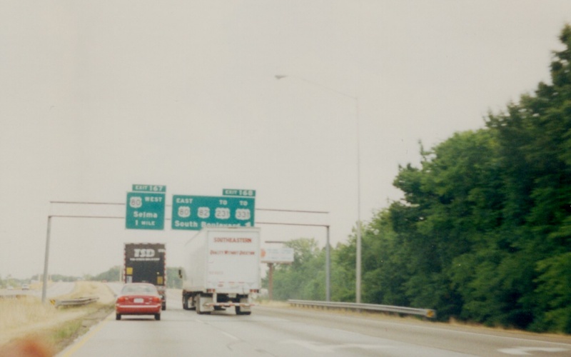
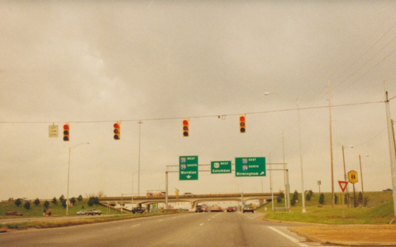
| Advance guide sign for the Fosters exit along E/NB I-20/59. Photo taken June 29, 2004. |
|
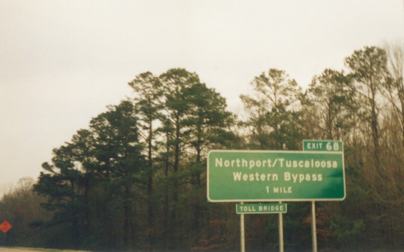
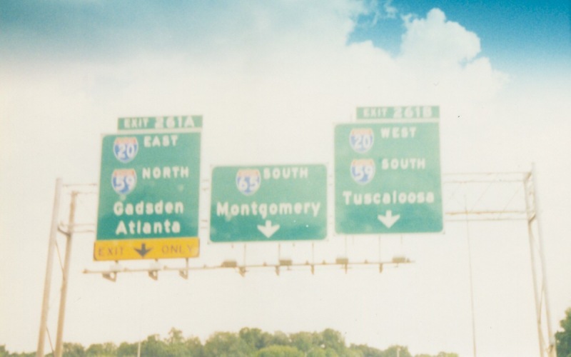
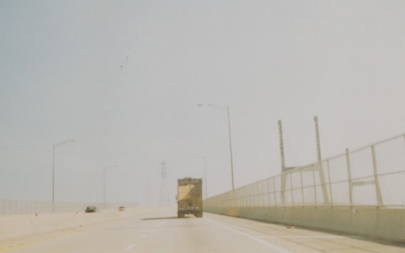
| Guide sign for the new Toll Bridge over the Black Warrior River. I was EB on I-20/I-59 at the time. Photo taken in 2001. |
|
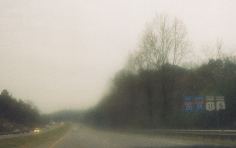
| A quad-set of reassurance shields (I-20/I-59/US 11/AL 5) northeast of Woodstock. ALDOT recently completed a 6-lane widening project through this segment. Photo taken in April, 1998. |
|
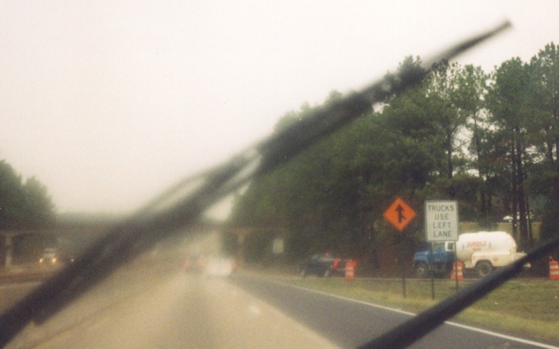
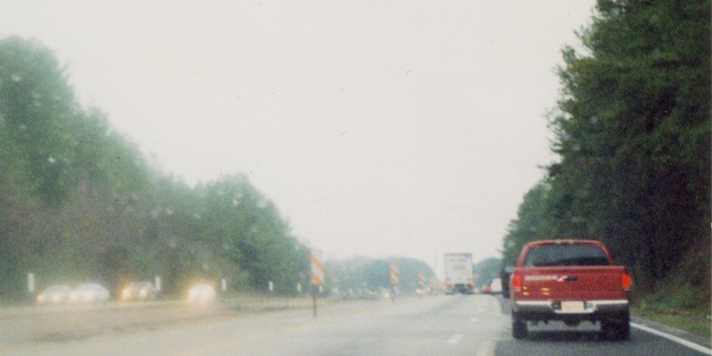
| Two photos showing road construction along northbound I-65 north of Warrior. At the time, ALDOT was upgrading a good stretch of I-65 through northern Jefferson and Blount Counties to 6 lanes. Photos taken in April, 1998. |
|
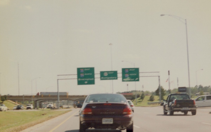
| Overhead signage on southbound I-65, approaching the "Malfunction Junction" interchange with I-20/59. Since this photo was taken, I-65 underwent a widening project through the interchange and these guide signs were replaced. Photo taken in 1998. |
|
| Further south, here's overhead signage on southbound I-65 at "South Blvd" in Montgomery, long before the current widening project began. Photo taken prior to 2001. |
|
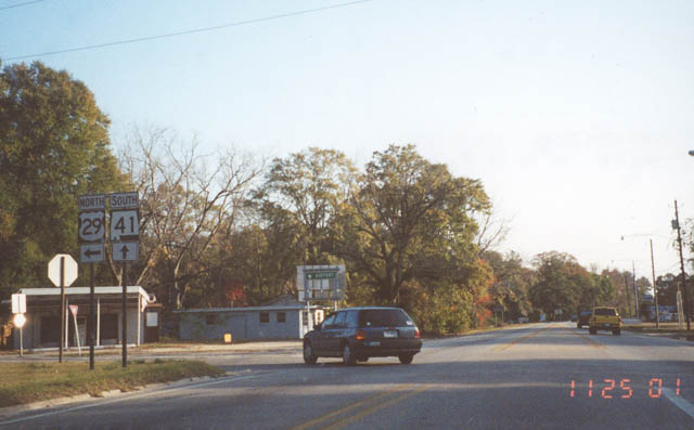
| In Brewton, where northbound US 29 splits off from the wrong-way duplex with southbound AL 41. Photo taken November 25, 2001. |
|
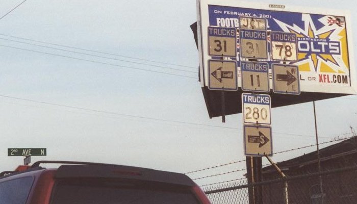
| Some very odd, and OLD, truck US shields in Birmingham. According to Alex Nitzman, these shields were posted throughout the city. However, my recent forays through the downtown Birmingham area have failed to locate any. Photo by Alex Nitzman, taken in 2000. |
|
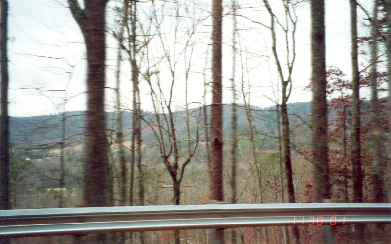
| The main intersection in Fayette, where US 43, AL 18, and AL 171 all junction, as seen from northbound AL 171. Photo by Adam Froehlig, taken November 30, 2001. |
|
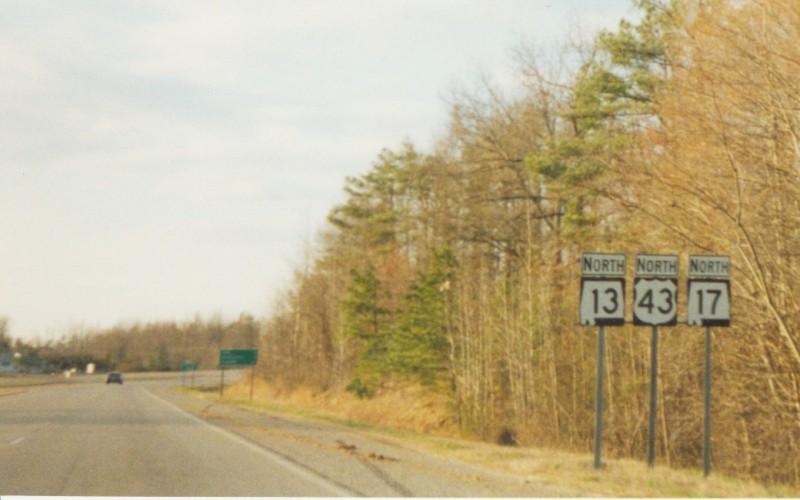
| Northbound shields near Isbell, about 25 miles south of Muscle Shoals. Photo taken in 1998. |
|
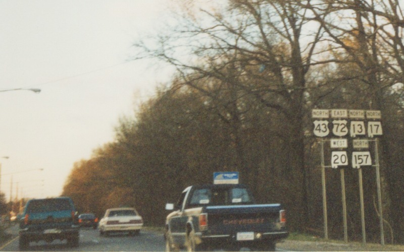
| Interesting multiplex of routes in Muscle Shoals. Photo taken in 1998. |
|
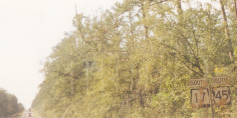
| Southbound AL 17 and US 45 in southern Washington County. In Alabama it's rare for the state route to be signed where it has been overlapped by a US route. Photo taken in 1998. |
|
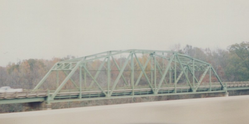
| An old through-truss bridge on westbound US 78, somewhere between Walker and Birmingham. Photo taken in 1999. |
|
| Looking westbound on US 82 at the I-20/I-59 interchange (which is a standard diamond). Note the use of Columbus, MS as a control city on US 82. Photo taken in 1998. |
|
| Same interchange, but looking along eastbound US 82. Here, Montgomery is the control city for US 82. |
|
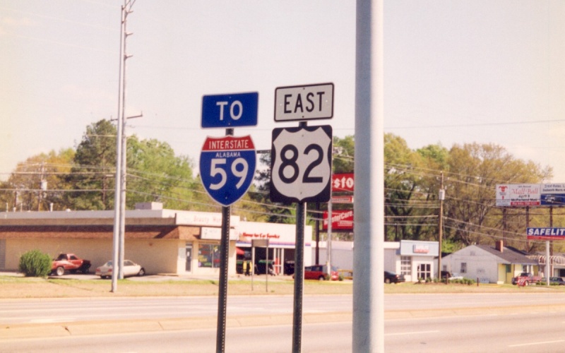
| Prior to the interchange is this TO I-59 trailblazer. Note there is no corresponding TO I-20 shield. |
|
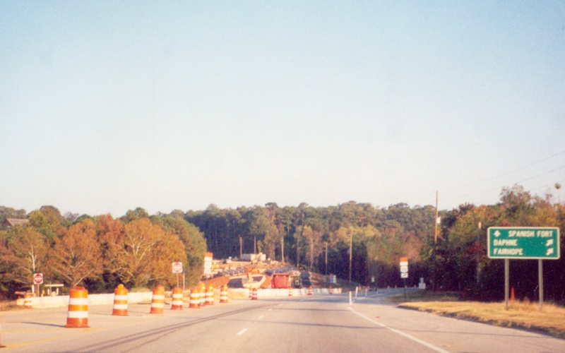
| The current eastbound end of what will eventually be a Brent/Centreville bypass on US 82. Photo taken in 1999. |
|
| The Mobile River Bridge in Mobile, looking eastbound. Hazardous cargoes are forbidden from the I-10 and US 98 tunnels near downtown, and so must detour about 3 miles north to cross the Mobile River here. At the time, the bridge was signed as Truck Route US 90 and Truck Route US 98. It is now signed as mainline US 90. Photo taken in 1998. |
|
| At the east end of the US 90/US 98 causeway over Mobile Bay is the second of the three eastbound splits between the two routes. At the time, US 90 traffic was detoured onto US 98 due to the bridge replacement project seen in the photo. Photo taken November 17, 2001. |
|
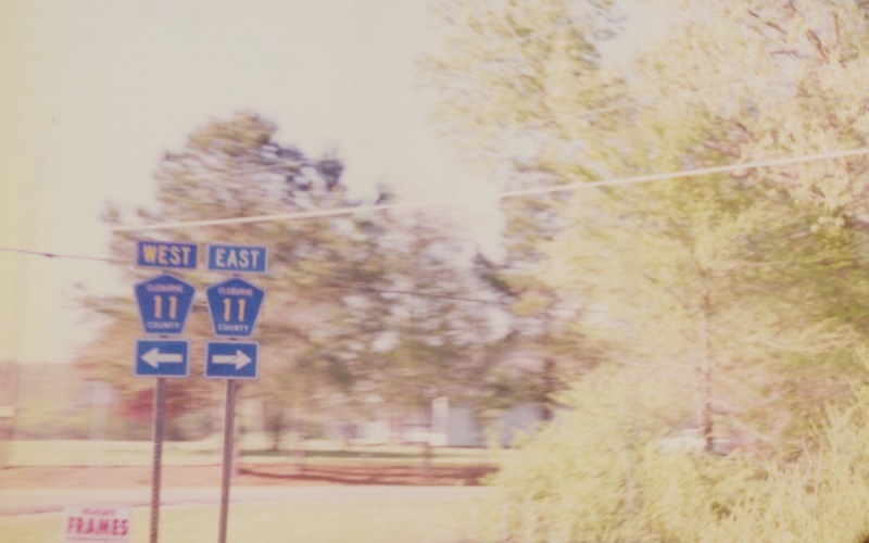
| This is an example of how ALDOT tends to sign county road junctions along state highways within Alabama. This particular example is northbound US 431 at Cleburne CR 11, southeast of Anniston. Photo taken in 2000. |
|
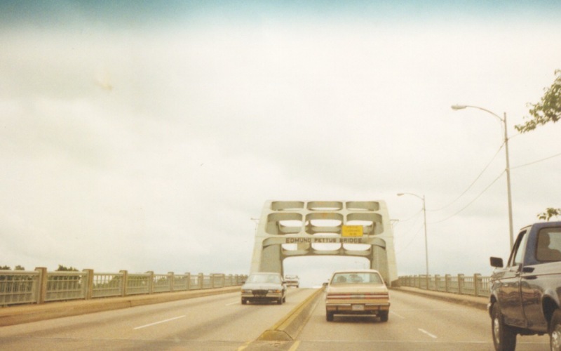
| Southbound on the locally infamous Edmund Pettus Bridge across the Alabama River, along BUSINESS US 80 in Selma. Photo taken in 1999. |
|
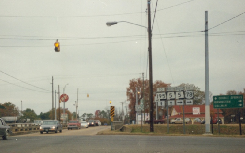
| Northbound 9th Ave in Jasper. At the time, US 78 ran east-west through town and had a narrow, substandard diamond interchange at AL 5 North/9th Ave. AL 5 North continues straight ahead here, and to the east (right) joins what is now AL 69. Photo taken prior to 2001. |
|
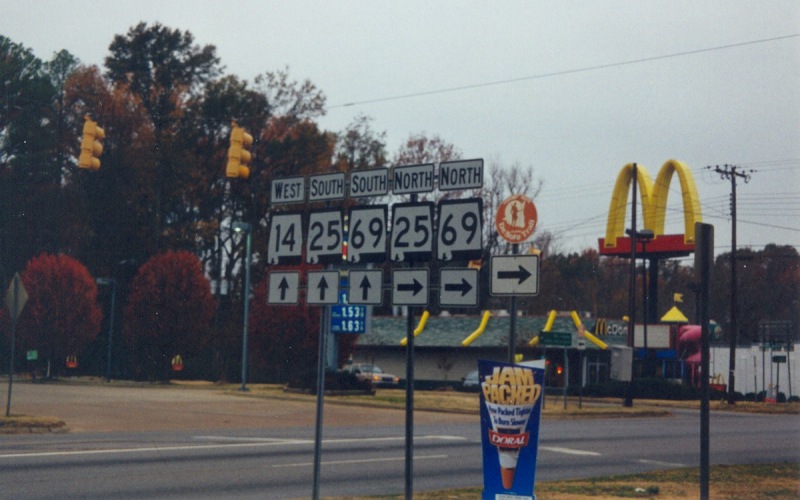
| A group of shields in Greensboro. |
|
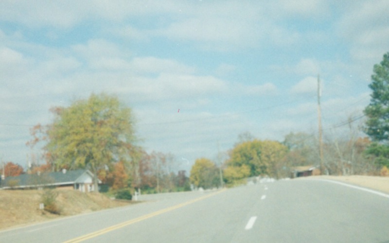
| Northbound AL 17 between Vernon and Sulligent in Lamar County. AL 17 is 4-lanes undivided between the two towns. |
|
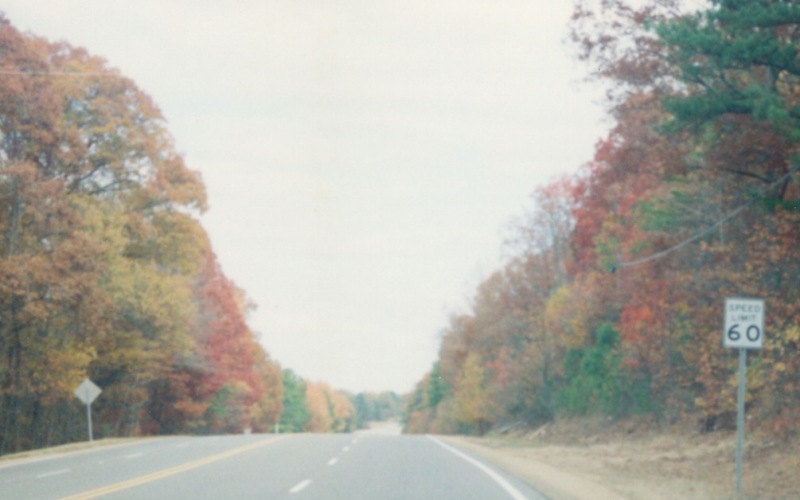
| An odd Speed Limit 60 sign along the above-mentioned AL 17 segment. |
|
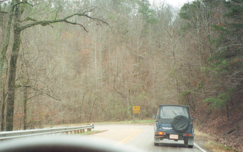
| A hilly curve on a section of AL 91 in southern Cullman County, where AL 91 "North" is actually heading southward. Photo taken November 30, 2001. |
|
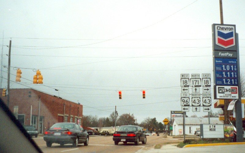
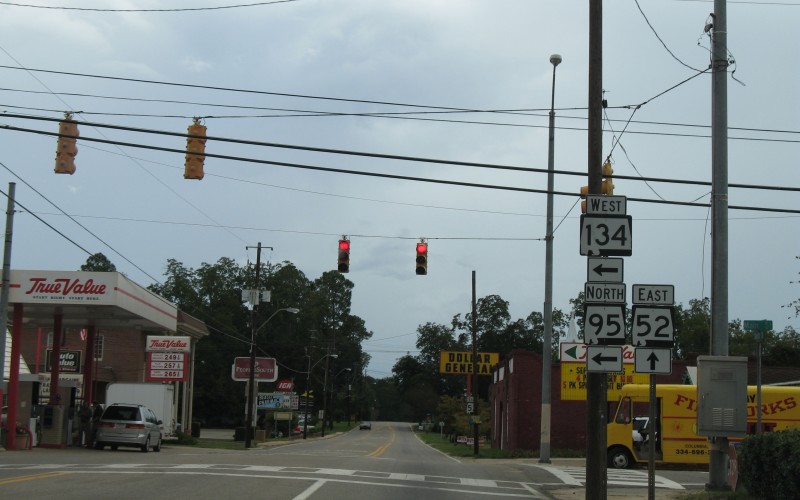
| In downtown Columbia, where AL 95 splits off from eastbound AL 52. The "WEST AL 134" shield is somewhat in error...AL 134 ends at AL 95 in northern Columbia. The "WEST" banner should really be a "TO" banner. Photo by Alex Nitzman, taken September 18, 2006. |
|
| Woods and hills as seen along AL 211 just north of Gadsden. Photo taken November 30, 2001. |
|
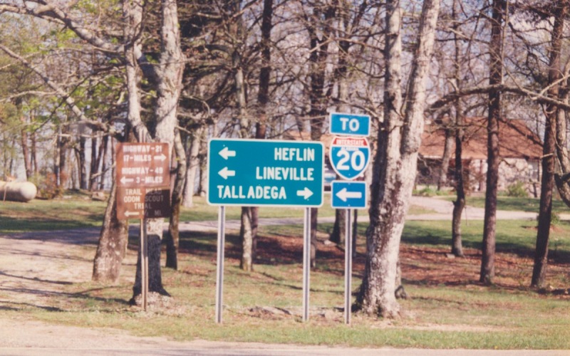
| This is what drivers see coming out of Cheaha Mtn State Park (site of the highest point in Alabama) and to AL 281, also known as Talladega Scenic Driver or the Skyway Motorway. Photo taken in 2000. |
|
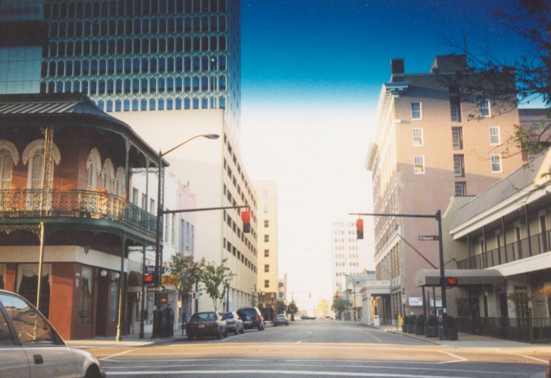
| Downtown Mobile at Dauphin Street, looking north with the AM South highrise to the left. |
|
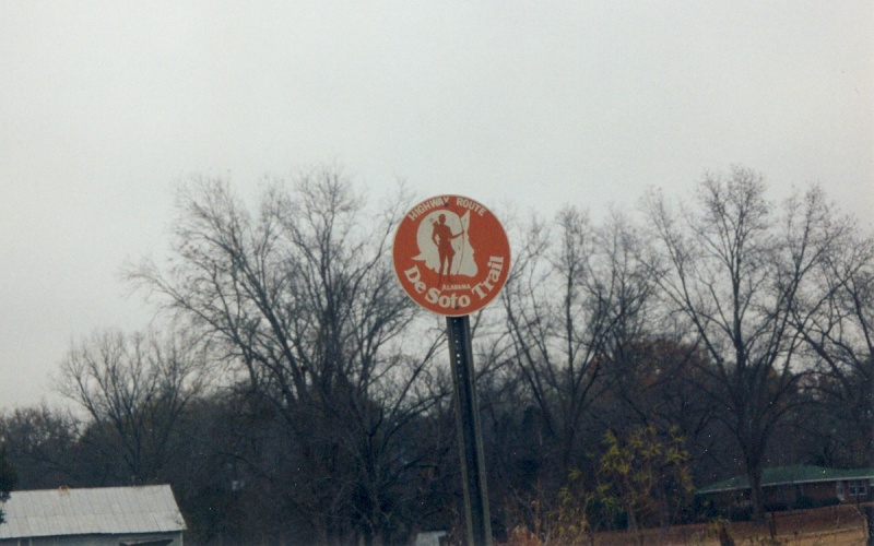
| A sign showing the DeSoto Trail, from somewhere in southwestern Alabama. Photo taken prior to 2001. |
Back to Alabama Photography
![]()
Page last modified 12 June, 2008
(C) 2008-2002 Adam Froehlig