US Highway 98 in Florida
This page documents photos from along US 98 in Florida. All photos were taken by the webmaster in late March, 1999.
|
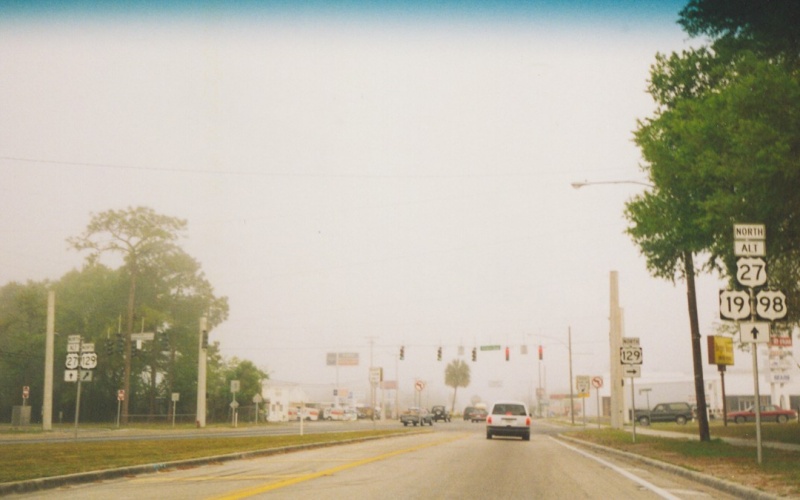
| Just west of where ALT US 27 joins US 19/98 is where US 129 begins its trek north. In fact, this photo is taken from the ramp from ALT US 27 onto north(west)bound US 19/98. |
|
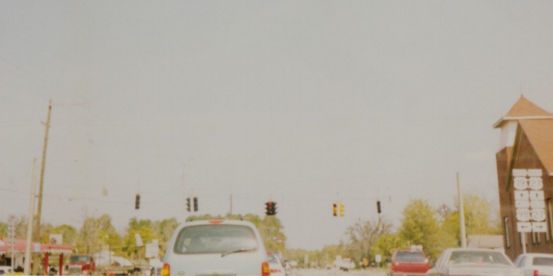
| Blurry shot, but this is where US 19, US 27, and US 98 converge in Perry. US 98 west of here is 2 lanes until you're on top of Tyndall AFB and Panama City. |
|
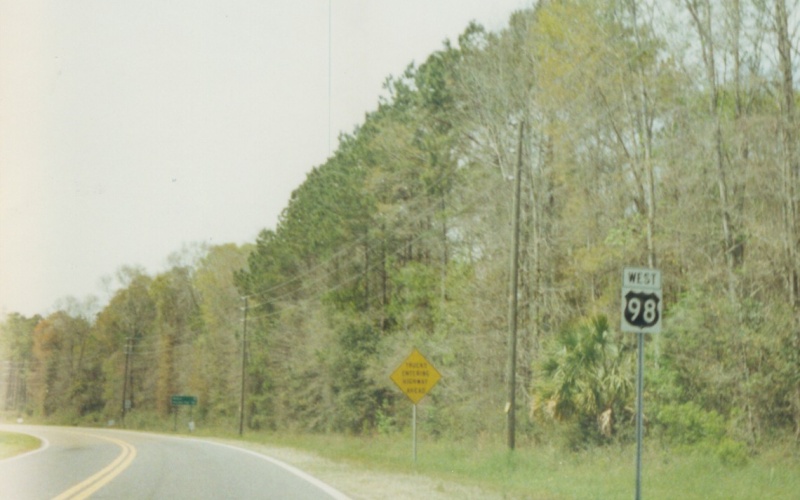
| An old-style US 98 shield, showing Florida's old style for coloring U.S. route shields. Interesting thing is that this shield didn't look that old. |
|
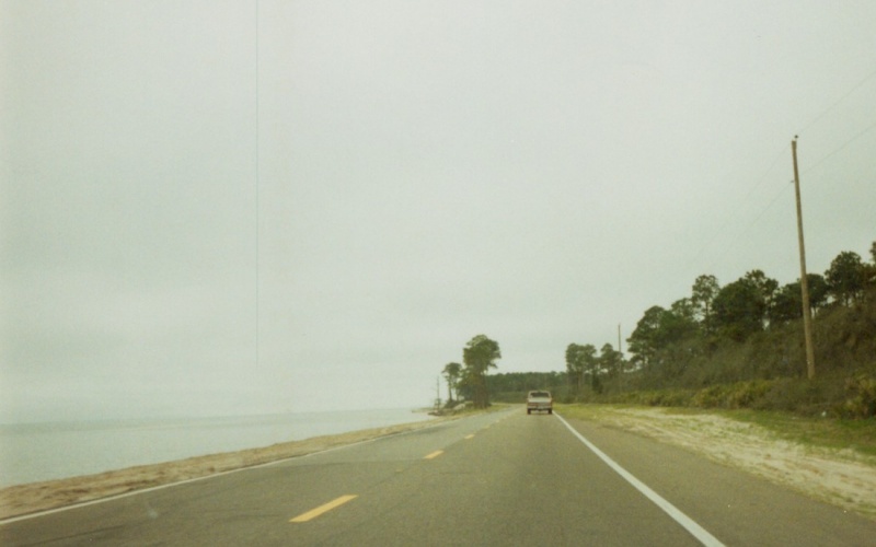
| Hugging the coast (quite literally). Westbound somewhere between Apalachicola and St. Teresa. This area of road received a lot of damage during the 2004-2005 hurricane seasons. |
|
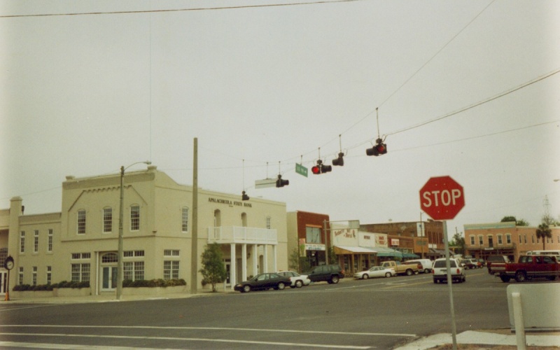
| Looking east at the Market St/Avenue E intersection in Apalachicola. US 98 turns from the right to "straight ahead" at this intersection. Oncoming traffic (westbound US 98) has the right-of-way here. |
|
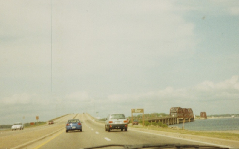
| Shot showing the old and new bridges over the Intracoastal Waterway between Tyndall AFB and Callaway. |
|
| Florida's old-style U.S. route coloring scheme at the start of BUSINESS US 98 in Callaway. |
|
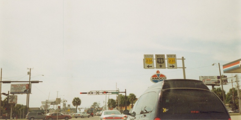
| Westbound at US 231 in Panama City. These old overheads show another part of Florida's old-style coloring system for U.S. routes. |
|
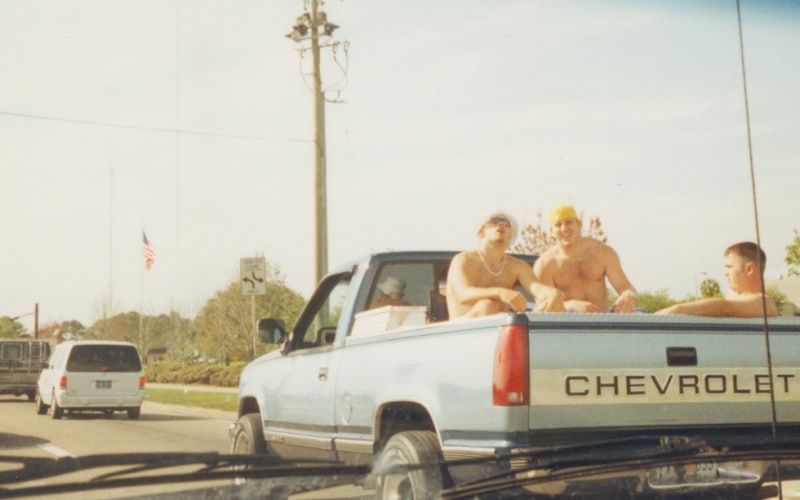
| Stuck in traffic in Panama City. Due to an onrush of tourists, combined with road work just west of the Hathaway Bridge (which still kept all lanes open), it took me the better part of an hour to get from Beck Ave in Panama City and across the bridge into Panama City Beach. It obviously wasn't affecting these guys, though. |
|
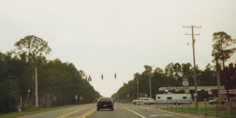
| Westbound at US 331. At the time this photo was taken, US 98 was 2 lanes through the area. It has since been widened to 4 lanes between Panama City and Destin. |
|
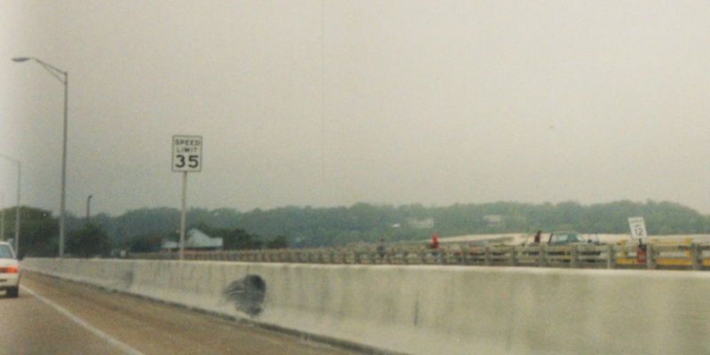
| Westbound on the Pensacola Bay Bridge. The old bay bridge to the right, advertised at the time as the "worlds longest fishing pier", had a strange "Speed Limit 12" posted along it. The old bridge was severely damaged during Hurricane Ivan in 2004, with several sections now gone and the rest of the bridge closed to fishing. |
|
| Westbound Gregory St in Pensacola. Westbound US 98 turns right here while BUSINESS US 98 continues straight. Notice how cheap gas prices were in 1999 as compared to today. |
|
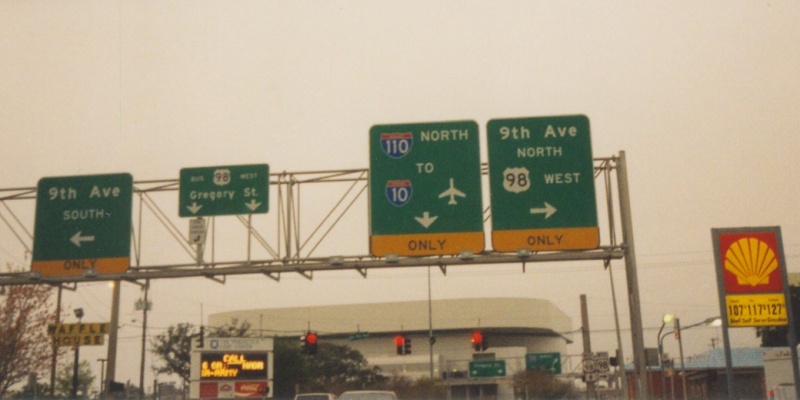
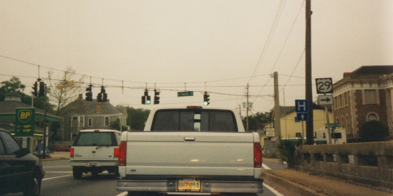
| In Pensacola, on westbound Cervantes St (US 90/US 98) at Palafox St, a few blocks west of I-110. This is the southern terminus of US 29. |
![]()
Page last modified 16 February, 2008
(C) 2008-2002 Adam Froehlig