
Froggie's Iceland Roads Pics
These are the highway-related pictures I took during a port visit to Reykjavik, Iceland in late August, 2002. During the port visit, I had the opportunity to ride between Reykjavik and the US Navy base at Keflavik, about 30 miles west.
|
|
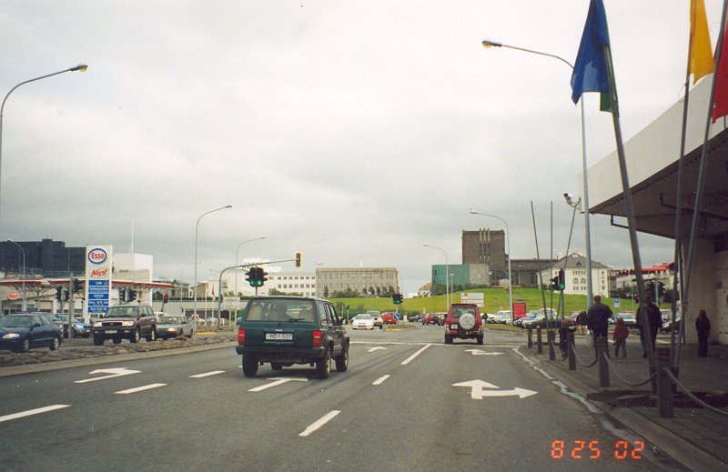
This is an almost-suburban streetscape from Reykjavik. This picture is unique in that overhead stoplights appear to be rare in Iceland. |
|
|
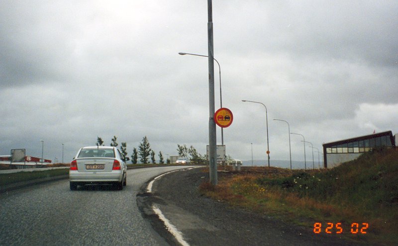
A no-passing-zone sign. |
|
|
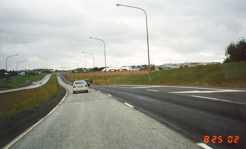
This is along a short stretch of freeway along Iceland Route 40. Notice the 70KPH speed limit sign on the lightpole. |
|
|
Further west along Route 40, after the end of the "freeway". |
|
|
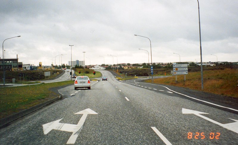
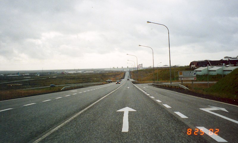
This is the end of Route 40, where it junctions with Route 41 on the western side of Reykjavik. Route 41 is the principal highway between the Reykjavik area and both the US Navy base and International Airport at Keflavik. |
|
|
Further west, Route 41 (by this point a 2-lane undivided) has a folded-diamond interchange (ramps and loops to the west) at Route 42. |
|
|
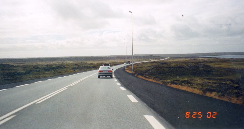
A typical scene along Route 41 between the western fringe of Reykjavik and Keflavik. According to some of the Navy folks stationed at Keflavik, there is serious talk of upgrading this route to a 4-lane divided highway, as it serves as the primary (and only) route between the Reykjavik area and both the US Navy base and the International Airport. |
|
|
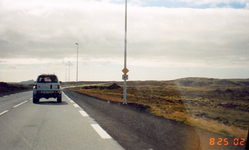
A Route 41 reassurance shield. Such shields were not very common along Iceland roads. |
|
|
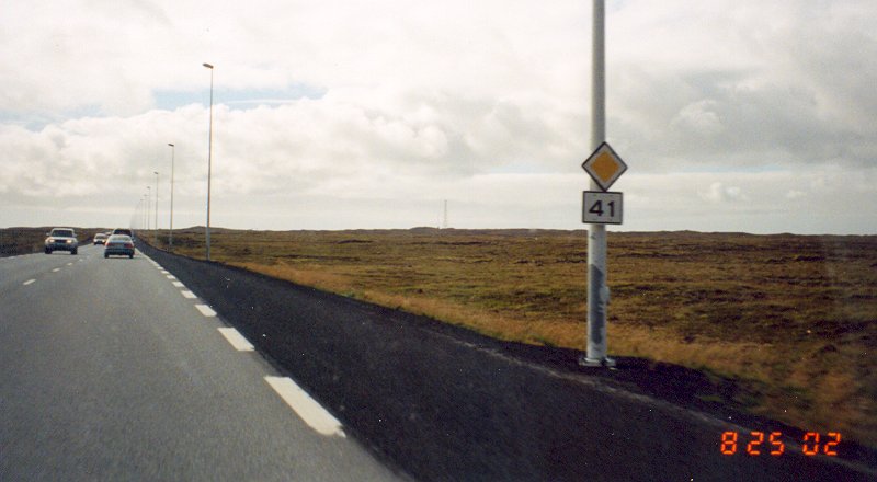
Another Route 41 reassurance shield. The diamond sign above the route shield, I'm told, means that Route 41, barring signage to the contrary, has priority (i.e. "right-of-way") over the roads it intersects. |
|
|
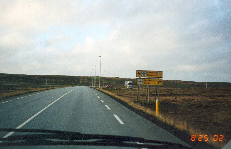
This is where Route 43 ends at Route 41, about 7 miles east of Keflavik. Route 43 connects Route 41 to the towns along the southwestern Iceland coast, as well as to the Blue Lagoon, a popular geothermal spa. |
![]()
Page last modified 06 January, 2004
(C) 2004, 2003, 2002, Adam Froehlig