

U.S. Highway 36 in Kansas
This photo page shows westbound US 36 from the Missouri River west to KS 7 near Troy, taken during our 2006 summer vacation. The photos are shown in the order they were taken (as we proceeded west along US 36). All photos were taken by the webmaster on August 26, 2006. Click on a thumbnail for a larger image.
|
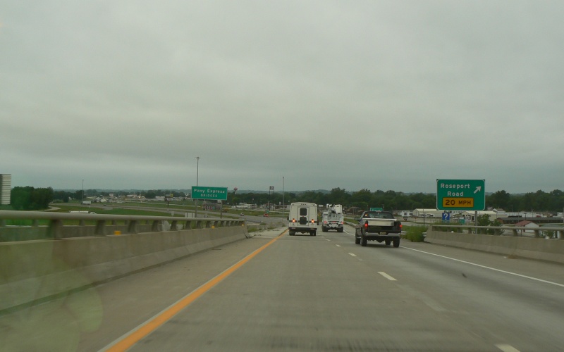
| At the west end of the Pony Express Bridges, which carry US 36 across the Missouri River between Elwood, KS and St. Joseph, MO. This is the first exit in Kansas. Roseport Rd may have been an old US 36 routing at one point. |
|
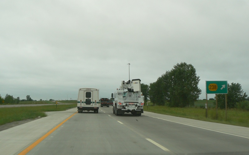
| Exit signage for the KS 238 exit on US 36. KS 238 is a connector between US 36 and the St. Joseph Airport, which due to an old river meander sits west of the Missouri River but actually within Missouri. |
|
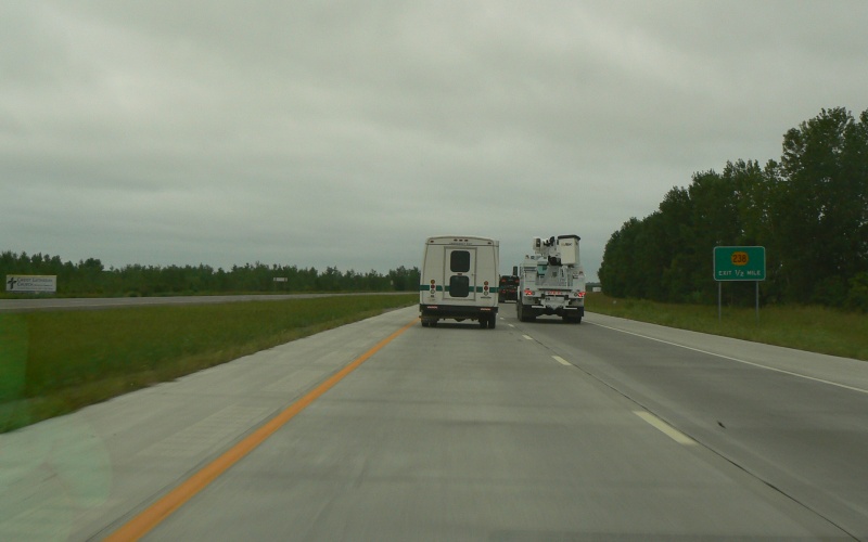
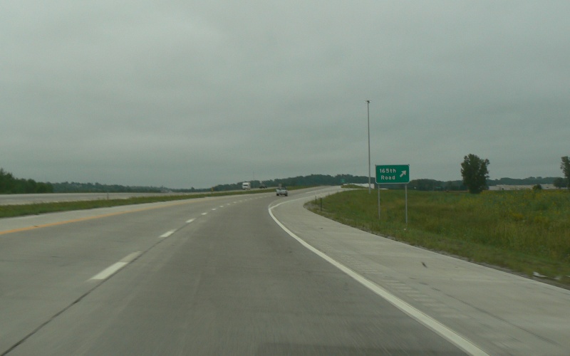
| The last westbound exit on the Elwood bypass is for 165th Rd, which is the western part of the Roseport Rd mentioned above. |
|
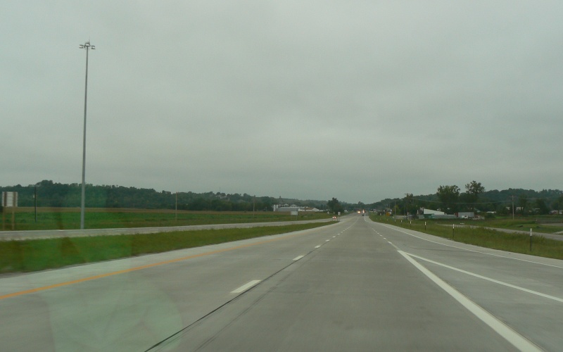
| Just west of 165th Rd, the freeway ends and US 36 narrows to a 4-lane undivided. Note the pavement change between newer concrete on the bypass and the asphalt through Wathena as shown below. |
|
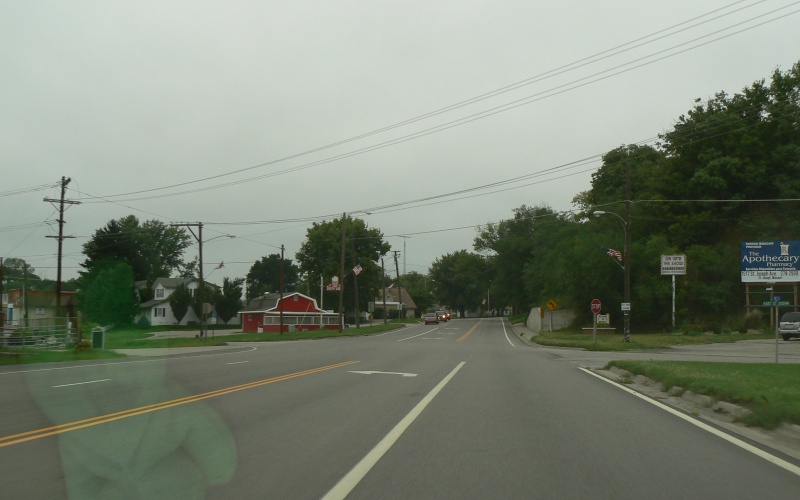
| Approaching Wathena, US 36 is a 4-lane undivided, eventually slowing to 30 MPH. |
|
| At St Joseph St (which may also be an old US 36 routing), the 4-lane ends and US 36 narrows further to a 3-lane section (2 lanes plus center left turn lane). |
|
| US 36 retains a center left turn lane through Wathena. |
|
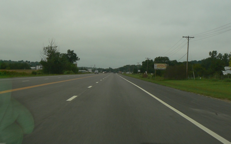
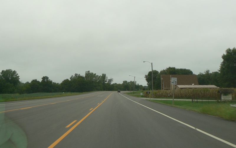
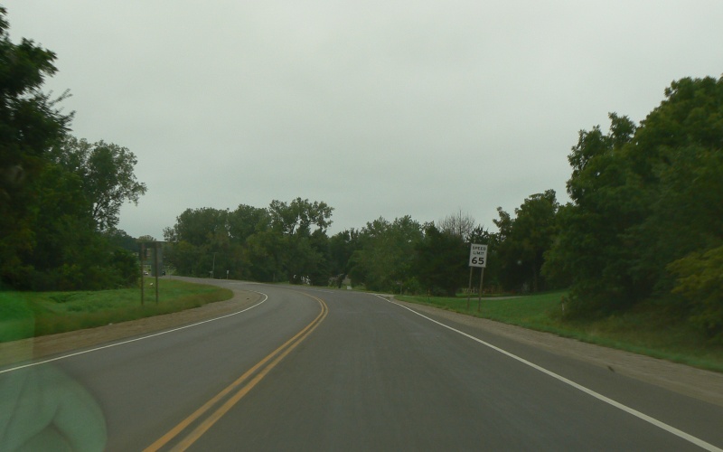
| West of Wathena, the speed limit goes up to 65 MPH, which is pretty typical for rural 2-lane roads in Kansas. |
|
| At Saratoga Rd/190th Rd. 190th Rd also looks like an old US 36 alignment. |
|
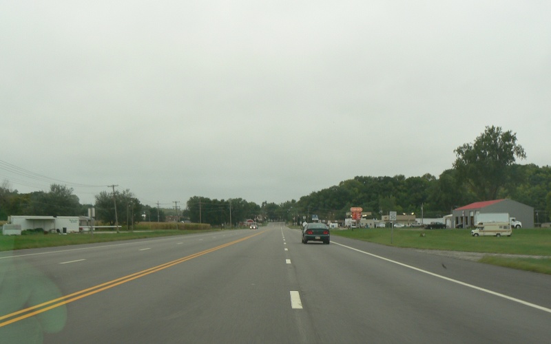
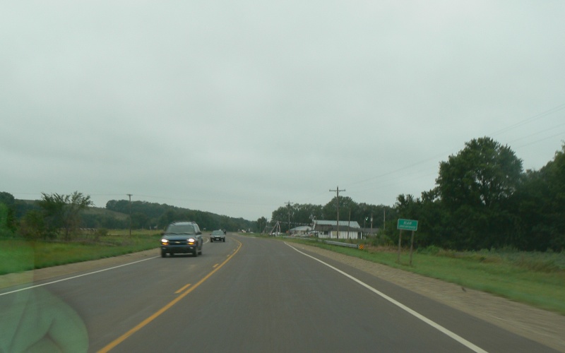
| The tiny, unincorporated hamlet of Blair. Not a whole lot here. |
|
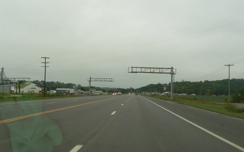
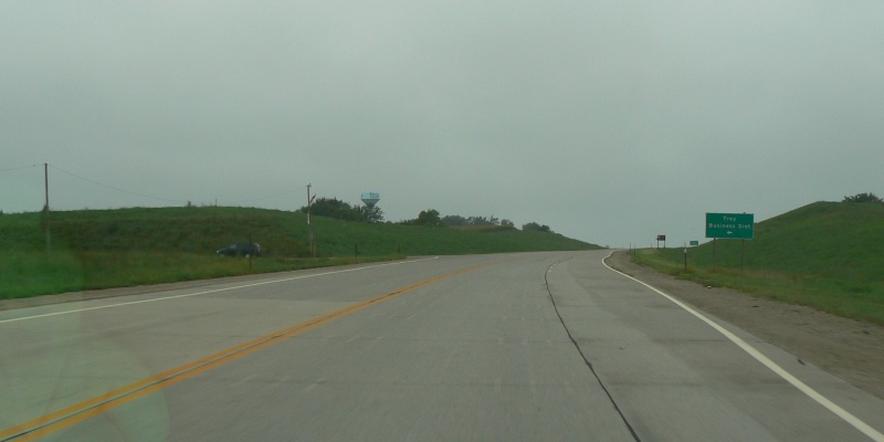
| Near Troy, US 36 reverts to concrete on what is obviously a new alignment. Though a few at-grade intersections remain, US 36 starts taking on "Super-2" characteristics here. |
|
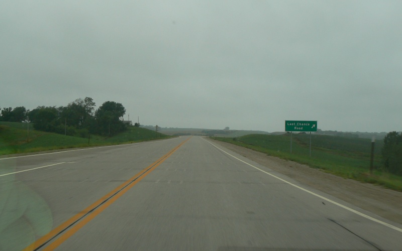
| Interchange at Last Chance Rd, which is an extension of KS 7's old routing through Troy and brings one to the west side of town. |
|
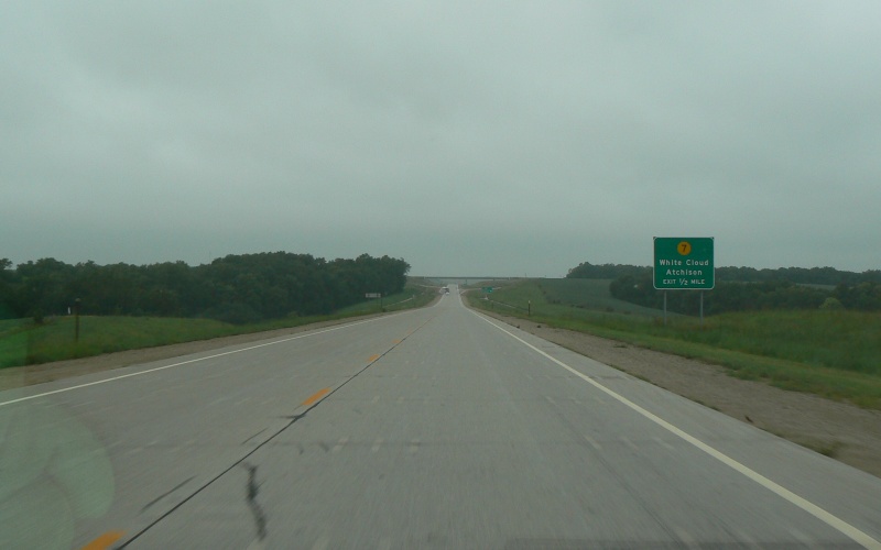
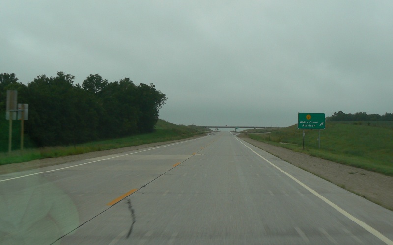
| Approaching and at the interchange with KS 7. KS 7 has also been rerouted out of Troy proper, following a north-south alignment about 2.5 miles west of town. Note the KS 7 overpass over US 36, which was built to accommodate an eventual 4-lane divided section on US 36. |
Back to Kansas
Photography
Back to Highway
Photography
![]()
Page last modified 23 February, 2008
(C) 2008 Adam Froehlig