|
 |
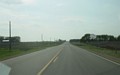
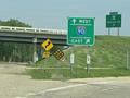
Eastbound CSAH 5 at I-35, with I-35
trailblazer shields that include the state name. Photo by Jeff Morrison,
taken May 19, 2004. |
 |
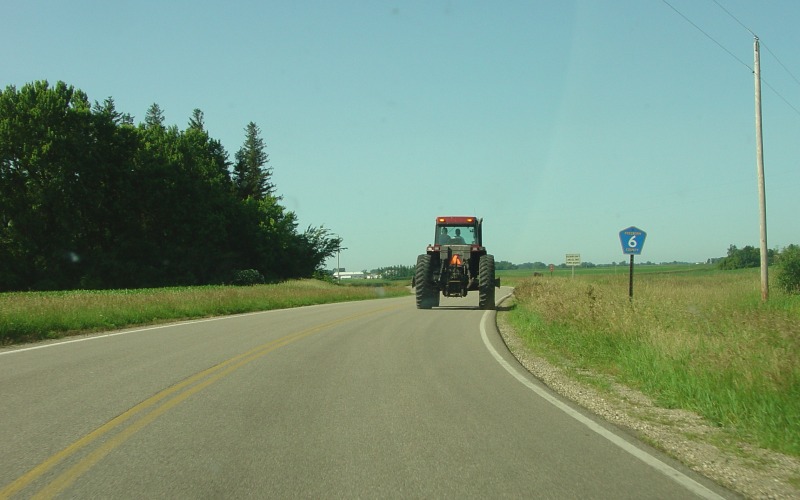
Waseca CSAH 28 becomes Freeborn CSAH
6 at the county line. CSAH 6 continues on to the towns of Freeborn and
Alden. Photo by Adam Froehlig, taken June 28, 2004. |
 |
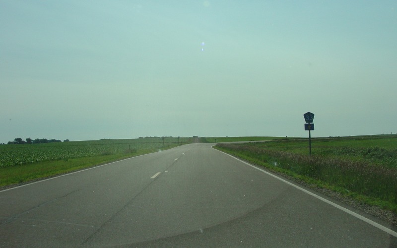
Along the brief CSAH 6/CSAH 33 duplex. CSAH 6
turns right towards Freeborn while CSAH 33 goes straight onto a gravel road.
Photo by Adam Froehlig, taken June 28, 2004. |
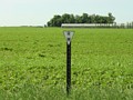 |
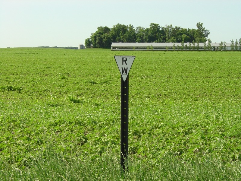
A Right-of-Way marker along CSAH 33 west of Hartland.
These markers are used to note the edge of the highway right-of-way, and are an
occasional sight not only on county roads but also on state highways in
Minnesota. Photo by Adam Froehlig, taken June 28, 2004. |
 |
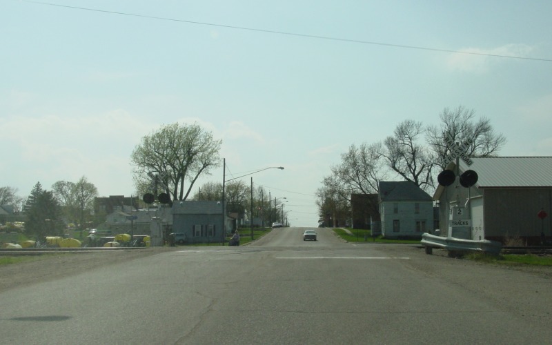
4-way stop at Johnson St (CSAH 33) at Willow St in
Hartland.
Photo by Adam Froehlig, taken June 28, 2004. |
 |
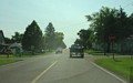
Westbound on Johnson St (CSAH 33) in Hartland as it
crosses a combination Union Pacific and Dakota-Minnesota-& Eastern (DM&E) rail
line. Photo by Adam Froehlig, taken May 3, 2003. |
 |
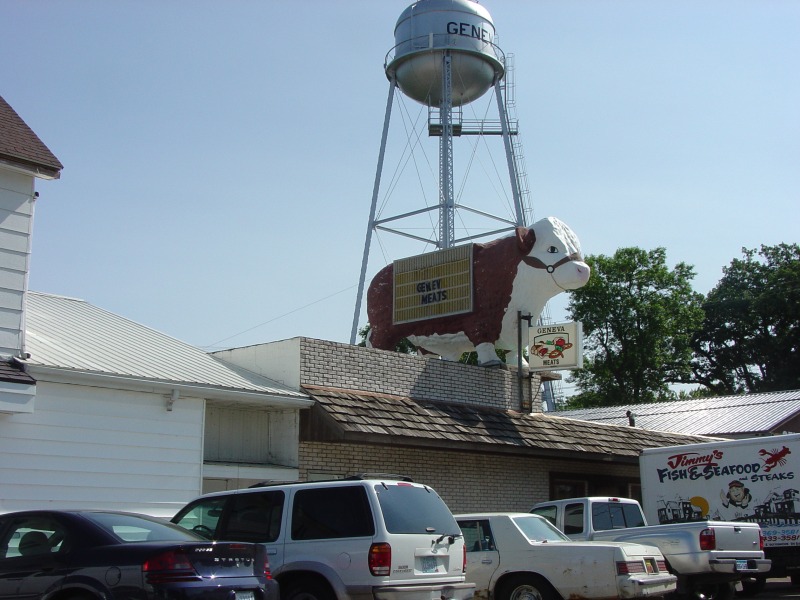
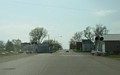
On Main St (CSAH 35) in Geneva looking at the Geneva
Meats building. Photo by Adam Froehlig, taken June 28, 2004. |
 |
Looking west on the brief CSAH 34/CSAH 35 duplex.
Photo by Adam Froehlig, taken June 28, 2004. |
 |
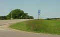
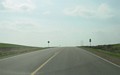
First of 5 photos showing westbound CSAH 35 between
I-35 and MN 13. This view is about 3/4 mile west of I-35. Photo by
Adam Froehlig, taken May 3, 2003. |
 |
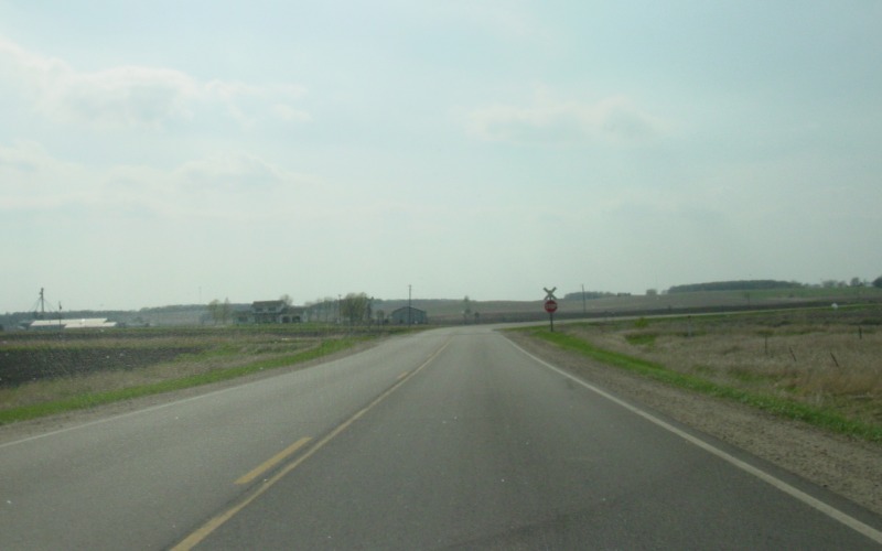
CSAH 35 crosses a Union Pacific rail line about 1 1/4
miles west of I-35. Photo by Adam Froehlig, taken May 3, 2003. |
 |
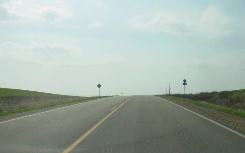
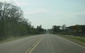
At the top of a hill, CSAH 35 crosses CSAH 24.
CSAH 35 is the through route. Photo by Adam Froehlig, taken May 3, 2003. |
 |
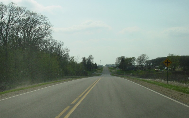
At the bottom of this hill is where CSAH 20 crosses.
As with at CSAH 24, CSAH 35 is the through route here and CSAH 20 has stop signs.
Photo by Adam Froehlig, taken May 3, 2003. |
 |
CSAH 35 ends at MN 13 about a mile north of Hartland.
Photo by Adam Froehlig, taken May 3, 2003. |
 |
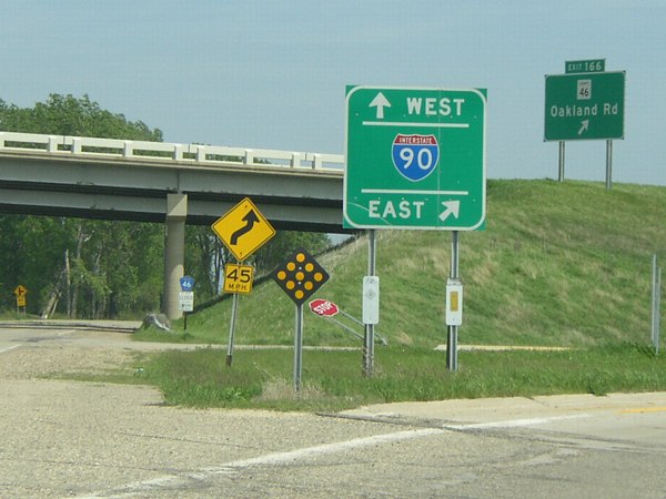
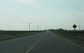
Eastbound CSAH 46 at an interchange with I-90 east of
Hayward.
Photo by Jeff Morrison, taken May 19, 2004. |