


Minnesota Highway Scenes
This page shows photos from various locations around Minnesota from along routes that don't have specific pages. Photos are organized first by route type, then by route number.
|
|
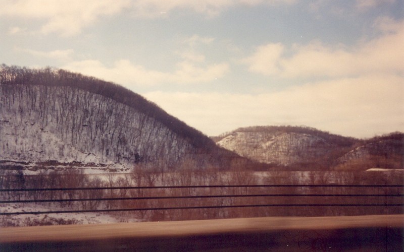
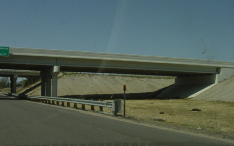
Westbound on I-90, climbing out of the Mississippi River valley in Winona County. I-90 has a very wide median here as it climbs the bluffs. Photo by Adam Froehlig, taken in January, 2001. |
|
|
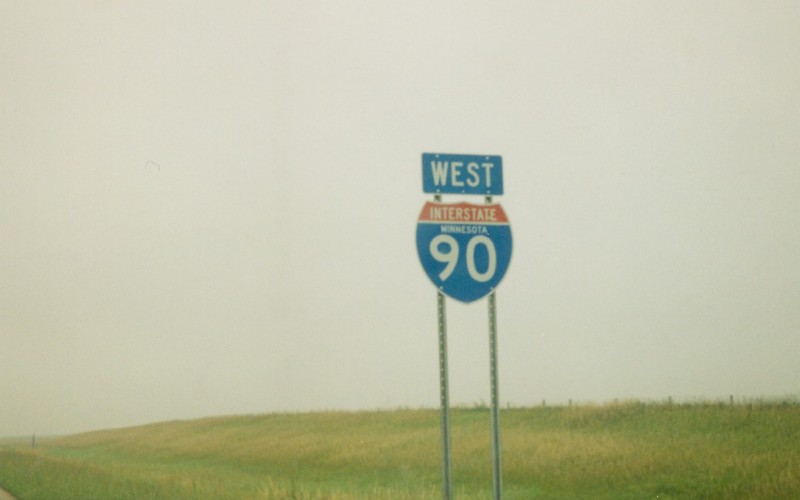
Westbound I-90 shield that includes the state name. This was somewhere in either Winona County or Olmsted County. Photo by Adam Froehlig. |
|
|
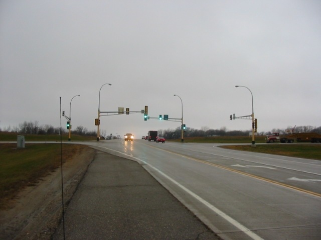
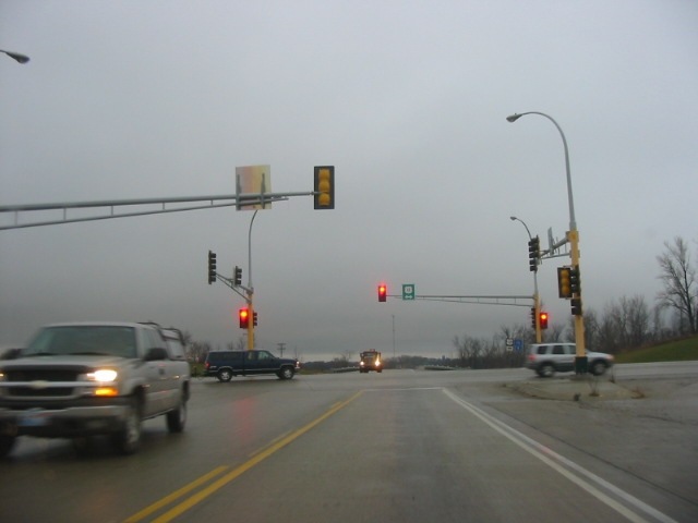
Two views of what is a recently installed (ca. 2003 or 2004) rural traffic signal, located at US 12 and MN 15 near Dassel. Unlike other rural traffic signals located around the state, this one is justified, as US 12 is a major east-west corridor and MN 15 sees noticeable traffic. Photos by Glenn Olson, taken in November, 2005. |
|
|
Southbound US 71 at MN 34 in Park Rapids. This intersection will be reconstructed ca. 2007-2009 as part of a project to improve MN 34 through Park Rapids. Photo by Adam Froehlig, taken June 22, 2004. |
|
|
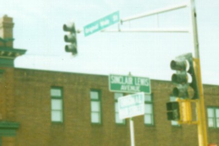
An interesting street sign in Sauk Centre. This sign marks the intersection of Sinclair Lewis Avenue with Original Main Street. Original Main Street, by the way, is US 71/MN 28. Sinclair Lewis Avenue is Stearns CSAH 17. Photo by Adam Froehlig, taken in 1999. |
|
|
An example of Minnesota's "Be Prepared to Stop" when flashing signs, on NB US 169 approaching MN 282/Scott CSAH 9 in Jordan. Photo by Adam Froehlig, taken in 1999. |
|
|
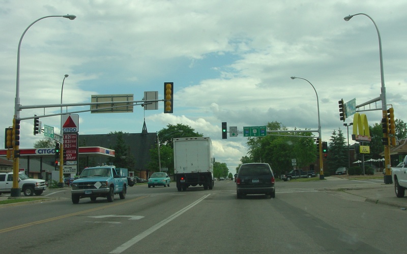
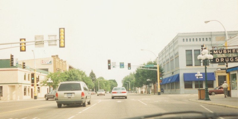
Guide signage on US 169/MN 60 in Mankato. US 169/MN 60 have a short "freeway" section in the city. Recently completed corridor studies recommend an eventual freeway section extending from MN 68 to US 14. Photo by Adam Froehlig, taken in 1999. |
|
|
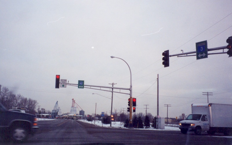
Northbound MN 3 in Rosemont, at the CSAH 42 intersection. Photo by Adam Froehlig, taken late December, 2001. |
|
|
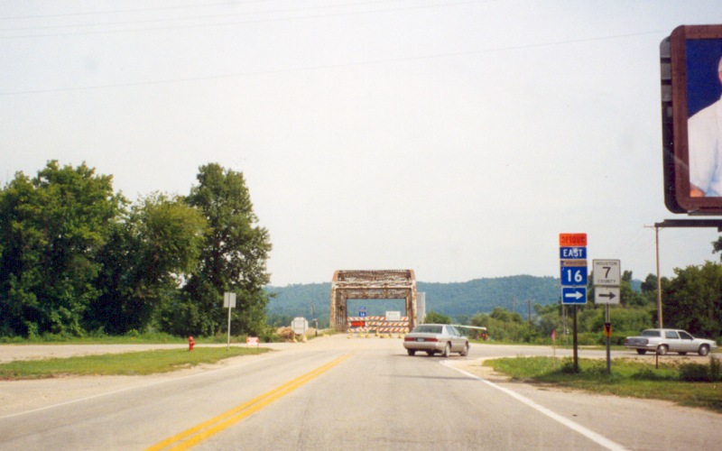
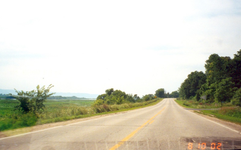
Eastbound MN 16 on the north edge of Hokah. At the time this photo was taken, a reconstruction project was underway on MN 16 between Hokah and MN 26. Traffic was detoured onto Houston CSAH 7 and then MN 26. Photo by Adam Froehlig, taken August 10, 2002. |
|
|
Westbound MN 19 at I-35, showing the then-newly-replaced northbound bridge over MN 19. The southbound span was replaced in 2006 and both bridges can accommodate an eventual 4-lane section on MN 19. Photo by Adam Froehlig, taken April 22, 2003. |
|
|
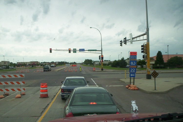
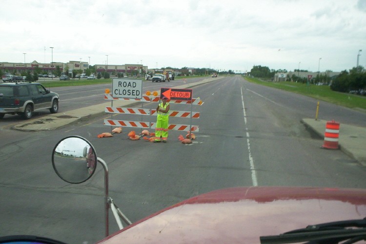
Two photos showing southbound MN 22 at Blue Earth CSAH 17 (formerly US 14) in Mankato. At the time these photos were taken, MN 22 was closed south of CSAH 17 for a reconstruction project. But that didn't stop regular drivers from trying to pass through. The lady in front of the detour sign was stationed their in part to direct these errant drivers away. Photos by Dave Hein, taken in late June, 2006. |
|
|
A distance sign showing route shields, along westbound MN 23 between Askov and Sandstone. Photo by Don Greiskalns. |
|
|
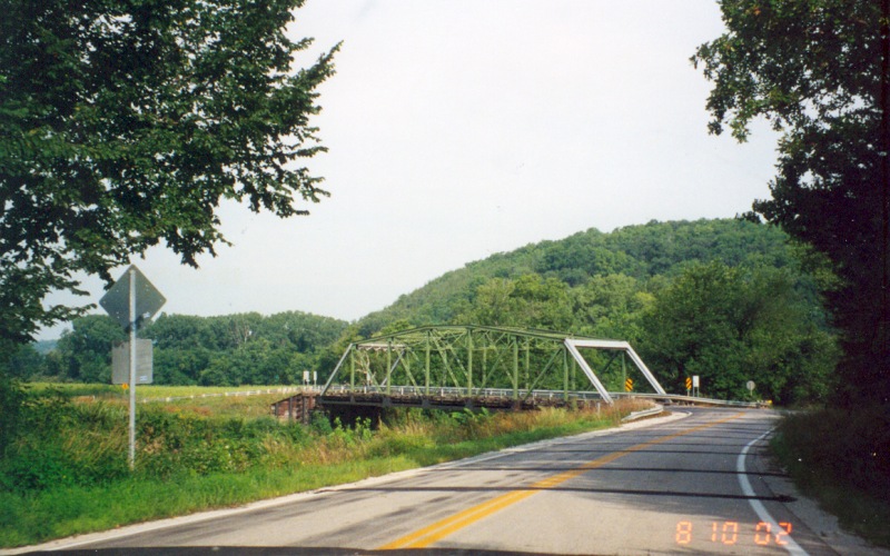
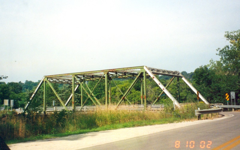
A small truss-type railroad bridge along southbound MN 26, just south of MN 16. Photo by Adam Froehlig, taken August 10, 2002. |
|
|
Southbound on MN 26, south of Brownsville, with a view of the Mississippi River valley. Photo by Adam Froehlig, taken August 10, 2002. |
|
|
From the early '30s until 1973, the southern terminus of then-US 371 was here in Little Falls. Back then (prior to the Little Falls Bypass), US 371 continued straight ahead from this intersection, while US 10 came up from behind and turned left. MN 27 still continues to be on the cross-street here. In 1973, US 371 was decommissioned and the route became MN 371, which itself was removed from this intersection along with US 10 when the Little Falls bypass opened. Photo by Adam Froehlig. |
|
|
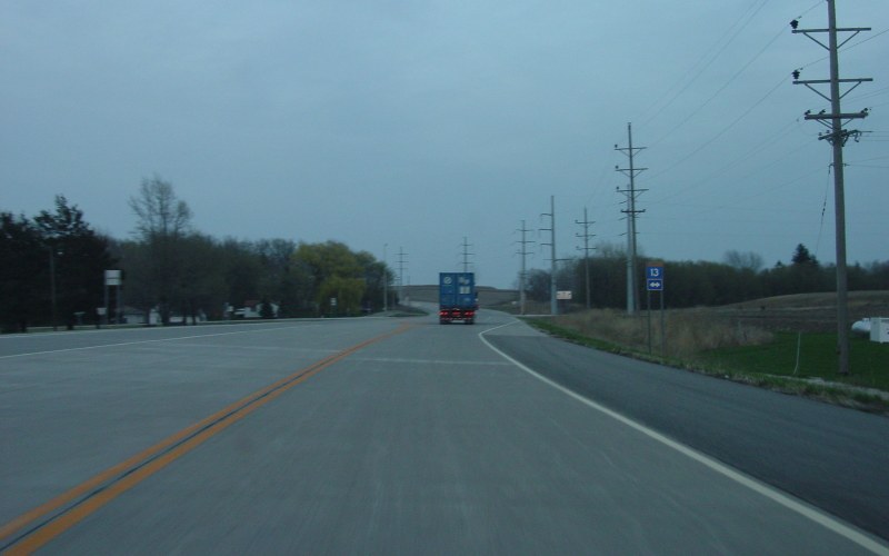
Milepost 30 and Adopt a Highway sign on eastbound MN 44, just east of its western terminus at US 52. Photo by Jeff Morrison, taken May 18, 2004. |
|
|
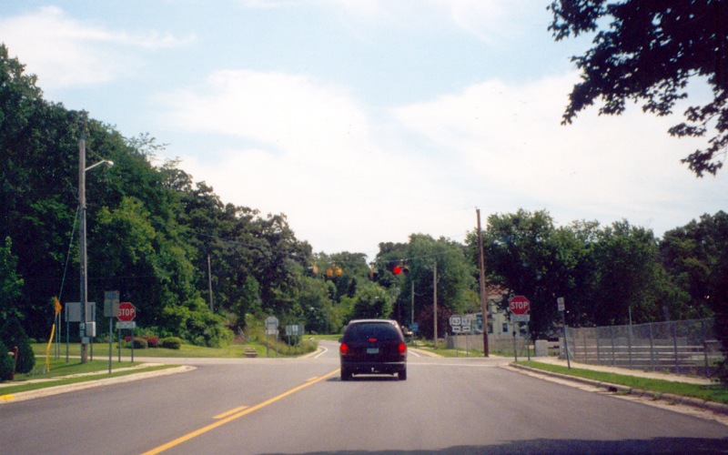
Eastbound MN 60 at MN 13 in Waterville. MN 60 is considered the "through route" here. Photo by Adam Froehlig, taken April 23, 2003. |
|
|
Eastbound MN 60 at the junction with US 63 in Zumbro Falls. Photo by Adam Froehlig, taken July 27, 2002. |
|
|
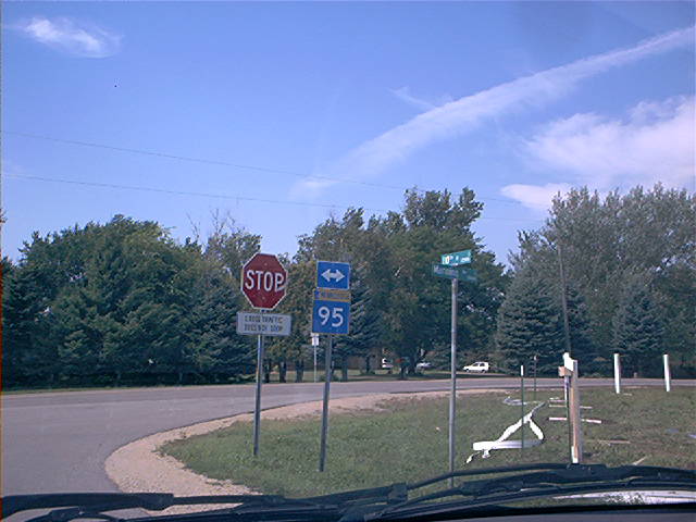
An odd sign with the arrows above the route shield. This is somewhere along MN 95 between US 61/10 and I-94. Photo by Don Greiskalns. |
|
|
A view of where MN 197 turns at Beltrami CSAH 50 in Bemidji. This intersection used to be the southern US 2/US 71 split, and US 371 used to end here. Photo by Adam Froehlig. |
|
|
A neat truss bridge on MN 250 north of Lanesboro. Photo by Adam Froehlig, taken August 10, 2002. |
|
|
A closer view of the MN 250 bridge. Photo by Adam Froehlig, taken August 10, 2002. |
|
|
Northbound Waseca CSAH 3, about a mile north of Janesville. As opposed to the asphalt that most Minnesota counties use, many of Waseca County's major county roads are paved in concrete. Photo by Adam Froehlig, taken April 23, 2003. |
|
|
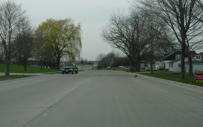
Northbound Main St on the north side of Janesville. Note how the street is fully concrete. Technically this is part of Waseca CSAH 19, with Waseca CR 53 n the background. Photo by Adam Froehlig, taken April 23, 2003. |
|
|
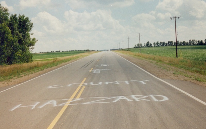
The Boar's Nest and Boss Hogg are just down the road...;o) This was on Murray CSAH 38, just south of CSAH 17. Photo by Adam Froehlig, taken in late July, 2000. |
![]()
Page last modified 17 May, 2008
(C) 2008-2002 Adam Froehlig