 |
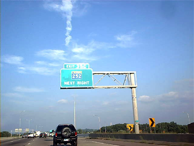
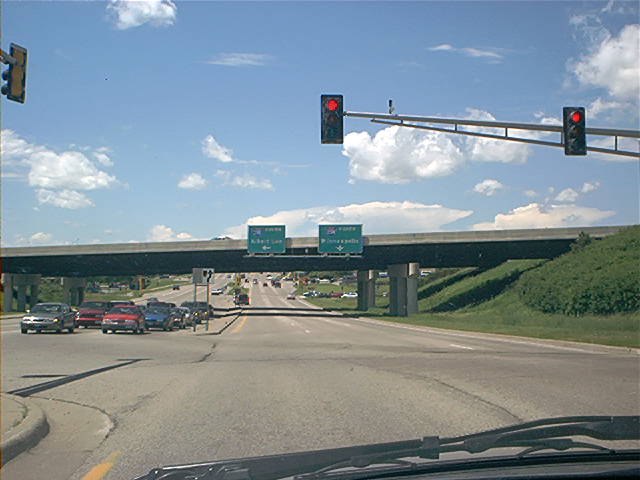
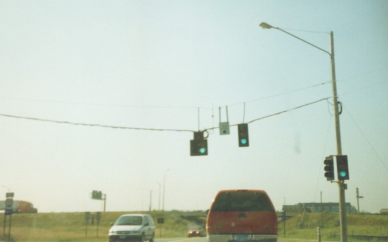
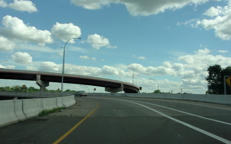
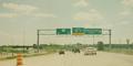
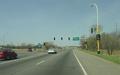
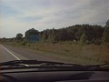
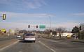
On I-694 East, approaching the loop to MN 252 North.
The chevrons in the lower right are for a curve on eastbound I-94 after it
splits away from I-694. Photo by Don Greiskalns. |
|
 |
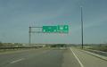
An advance END US 8/"BEGIN" I-35 sign near the western end
of US 8 in Forest Lake. Photo by Adam Froehlig. |
|
 |
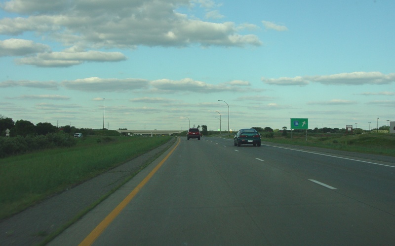
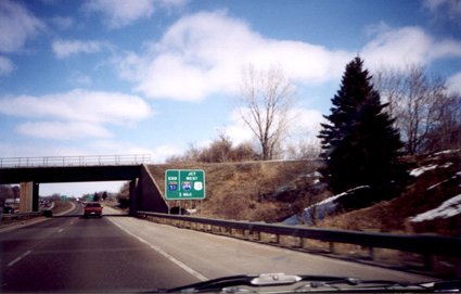
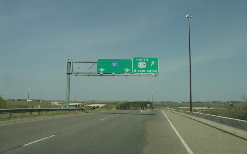
Exit ramp to Scott CSAH 18, from what is officially a
1.7-mile-long exit ramp from northbound US 169. Built as part of the
Shakopee Bypass, this unnumbered "route" connects US 169 with MN 13. Photo by Adam Froehlig, taken
June 24, 2004. |
|
 |
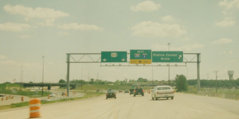
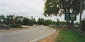
Eastbound MN 5 at Prairie Center Dr in Eden Prairie.
At the time, construction was still underway on both the short segment of MN 312
now completed plus the upgrade of MN 5 to freeway between that MN 312 spur and
I-494. Photo by Adam Froehlig, taken in July, 2000. |
|
 |
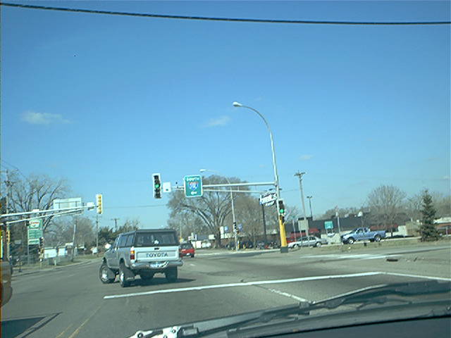
Northbound MN 41 at US 212 in Chaska. Photo by Adam
Froehlig, taken late December, 2001. |
 |
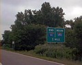
Guide signage for the upcoming end of MN 51 at
I-694/US 10. Photo by Monte Castleman. |
 |
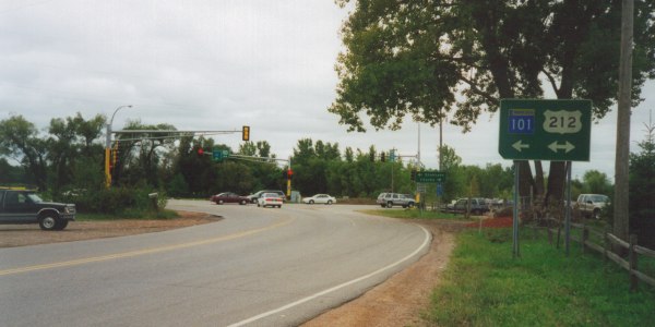
This sign is actually in error,
depending on who you ask. At one point, MN 101 turned left here, then
crossed the Minnesota River into Shakopee. MnDOT has since then turned
most sections of MN 101 back to the counties, but Carver County has thus far
refused to accept their portion, for undisclosed reasons. Photo by Monte
Castleman, date unknown. |
 |
This photo shows what used to be MN 101 in Savage,
but is now part of hidden MN 801, a hidden route connecting MN 13 (seen here)
and US 169 at the Shakopee Bypass. Photo by Adam Froehlig, taken April 23,
2003. |
 |
Further up "hidden MN 801" is this split, with the
left side connecting to the Shakopee Bypass and the right part continuing along
old MN 101 (now Scott CSAH 101) with a connection to US 169 across the
Bloomington Ferry Bridge. Photo by Adam Froehlig, taken April 23,
2003. |
 |
Technically the "western end" of MN 801, this is a
partial interchange between old MN 101 and US 169 to/from the Bloomington Ferry
Bridge. State maintenance of old MN 101 ends at the other side of the
interchange and the roadway continues as Scott CSAH 101 towards Shakopee. Photo by Adam Froehlig, taken April 23,
2003. |
 |
Blurry view of a typical Minnesota expressway
stoplight. The red light, though blurry, is a left turn arrow.
This light is on eastbound MN 110 at MN 13, a little east of the Mendota Bridge.
Photo by Adam Froehlig, taken in December, 1998. |
 |
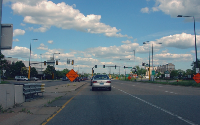
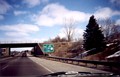
I-494 doesn't actually begin up ahead. What
happens is that MN 110 ends by merging onto I-494. Photo by Don Greiskalns. |
 |
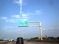
Heading westbound on MN 110, this guide signage notes
the upcoming western terminus. Photo by Don Greiskalns. |
|
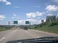 |
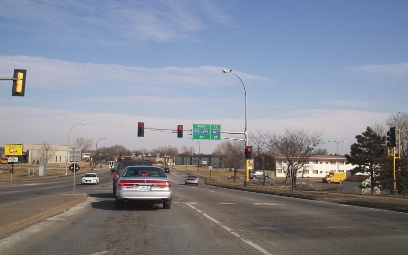
Signs for I-35E along Dakota CSAH 42 in Burnsville.
Photo by Don Greiskalns. |
|
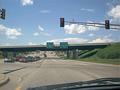 |
At the ramps to/from NB I-35E on Dakota CSAH 42. On
the other side of the overpass are entrance ramps to go south on I-35E (which
merges & become I-35 approx 1/2 mile south of here). Then about 2 blocks
beyond, there are ramps
going north on I-35W. The I-35E
/35W split is just south of here. Photo by Don Greiskalns. |
|
 |
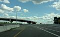
Crossing the Minnesota River on a relatively new bridge
near Jordan. This is heading south where Carver CSAH 45 becomes Scott CSAH
9. Photo by Adam Froehlig, taken April 22, 2003. |
|
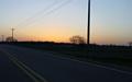 |
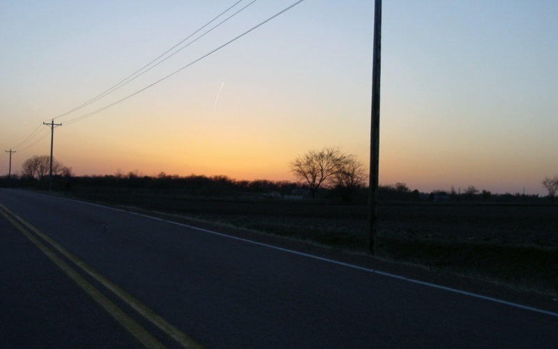
Sunset along Carver CSAH 50. Photo by Adam Froehlig,
taken April 22, 2003. |
|
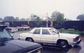 |
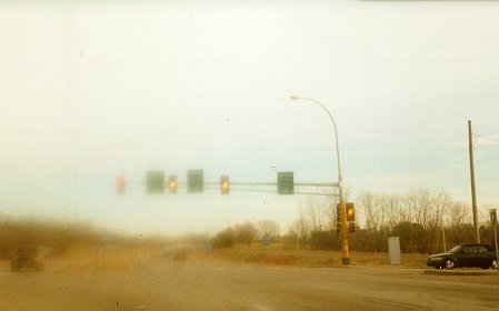
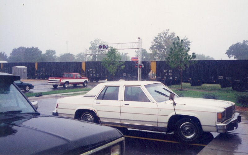
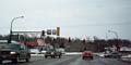
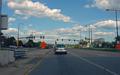
Dakota CSAH 50 at the Canadian Pacific rail crossing in
Farmington. Photo by Adam Froehlig, taken in July, 1996. |
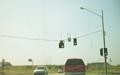 |
Two Minnesota traffic signal rarities in
this picture. The first is the use of span-wire-hung signals, while the
second is a 5-lens "doghouse-style"
stoplight. This was on southbound Hennepin CSAH 61 at the I-94/694 ramps in Maple
Grove. Photo by Adam Froehlig. |
|
 |
On Little Canada Road at the I-35E interchange. Note
the proximity of the frontage road, and how it's tied into the stoplight.
Photo by Don Greiskalns. |
|
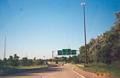 |
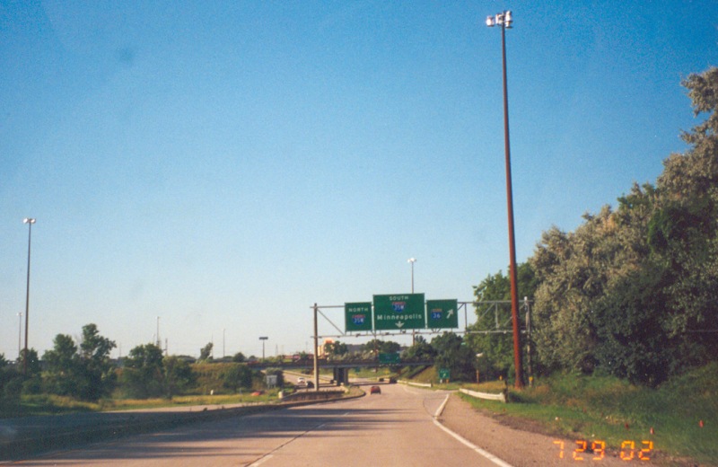
Northbound on Cleveland Ave in Roseville, at the entrance
to the I-35W/MN 36/Cleveland Ave interchange. Note the high mast lighting,
which is somewhat common on Minnesota interchanges. Photo by Adam
Froehlig, taken July 29, 2002. |
|
 |
Northbound on Shingle Creek Pkwy in Brooklyn Center, at
the ramp to westbound I-94/694. Photo by Don Greiskalns, taken March 4,
2006. |
|
 |
On the ramp from southbound MN 77 to Killebrew Dr, which
accesses the southern part of the Mall of America. The ramp from I-494
merges in from the right. Photo by Adam Froehlig, taken June 21, 2004. |
|
 |
Eastbound Killebrew Dr at one of the two access points
into the Mall of America area. Photo by Adam Froehlig, taken June 21,
2004. |