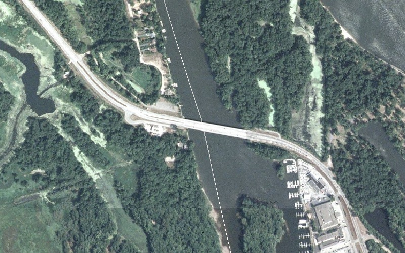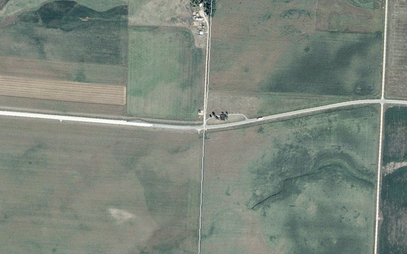
US 14 crossing the border (delineated by the white line) between South Dakota and Minnesota. Aerial view is from 2003 National Agricultural Imagery Program imagery.
U.S. Highway 14 in Minnesota
|
|
Western Terminus |
Eastern Terminus |
| Minnesota |
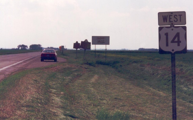
SD/MN State Line west of Lake Benton, MN |
MN/WI State Line at La Crescent, MN |
| Nationally | At East Entrance to Yellowstone Nat'l Park, WY | At US 41 in Chicago, IL |
Western Terminus
|
|
US 14 crossing the border (delineated by the white line) between South Dakota and Minnesota. Aerial view is from 2003 National Agricultural Imagery Program imagery. |
|
|
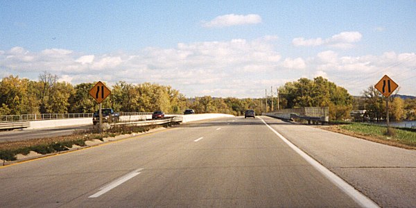
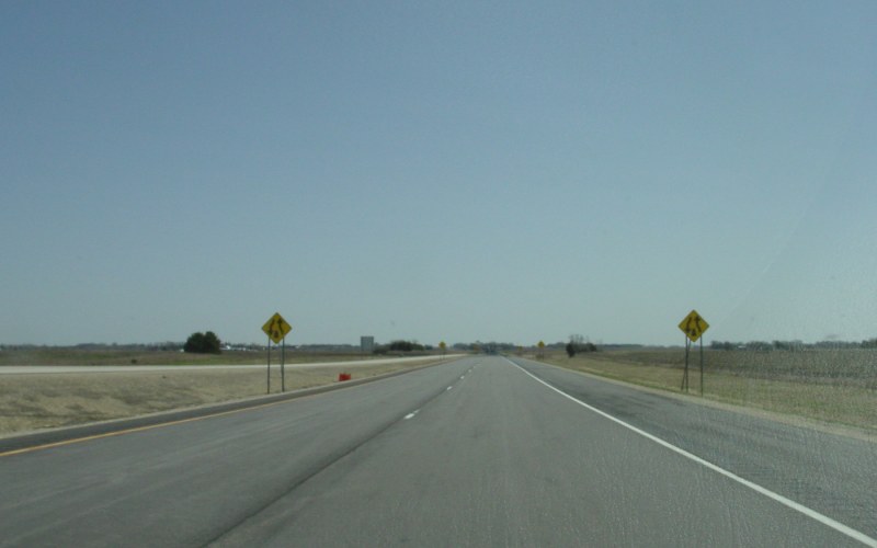
Looking west into South Dakota. Photo by Robert Mortell, taken in 1996. |
Eastern Terminus
|
|
US 14 crossing a west branch of the Mississippi River, between La Crescent, MN and La Crosse, WI. The state line is roughly shown by the white line that follows the channel. Aerial view is from 2003 National Agricultural Imagery Program imagery. |
|
|
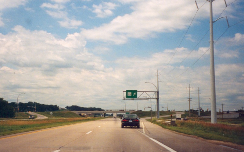
Crossing east into La Crosse, WI along the triplex of US 14/US 61/MN(becoming WI) 16. MN/WI 16 used to be US 16. Photo by Monte Castleman, taken October, 2002. |
|
|
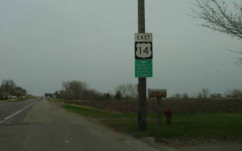
Reassurance shield plus a sign showing US 14 as the "Laura Ingalls Wilder Historic Highway" on the east edge of Courtland. Photo by Adam Froehlig, taken April 23, 2003. |
|
|
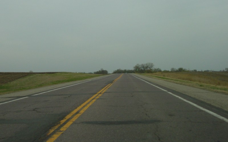
Poor pavement condition between Courtland and Nicollet. This area is under study for upgrade to a 4-lane divided highway, but funding is a long ways off. Photo by Adam Froehlig, taken April 23, 2003. |
|
|
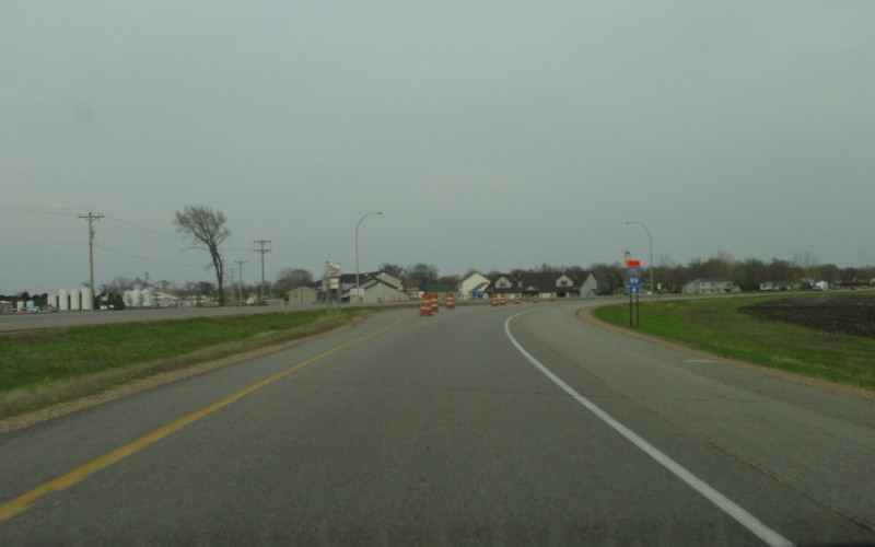
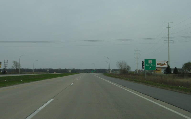
Normally, this would be MN 99's western terminus. However, in 2003, the western portion of MN 99, between US 14 and MN 111, was under reconstruction, hence the detour sign. Photo by Adam Froehlig, taken April 23, 2003. |
|
|
Eastbound at MN 111 in Nicollet. MN 111 was part of the above-mentioned MN 99 detour at the time. Photo by Adam Froehlig, taken April 23, 2003. |
|
|
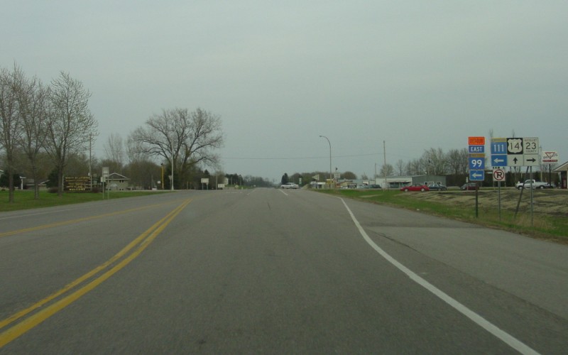
At Nicollet CSAH 6, with an "Exits to North Mankato" sign signifying the approach to the Mankato area. Photo by Adam Froehlig, taken April 23, 2003. |
|
|
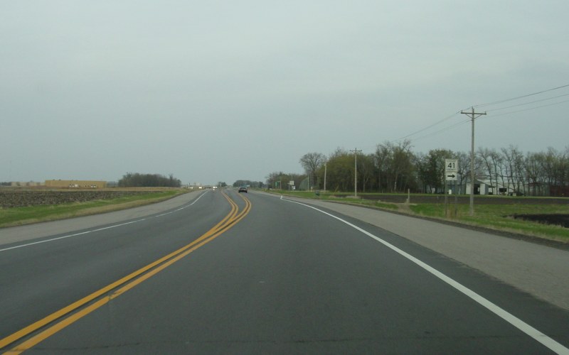
The intersection at Nicollet CSAH 41 is the last at-grade intersection before the freeway-grade segment around Mankato. MnDOT has plans to extend the freeway west and build an interchange here. Photo by Adam Froehlig, taken April 23, 2003. |
|
|
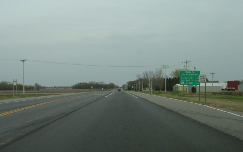
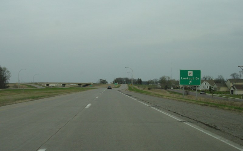
The first eastbound exit around Mankato is at Nicollet CSAH 13/Lookout Dr. Note recent Mankato-area residential development on the right. Photo by Adam Froehlig, taken April 23, 2003. |
|
|
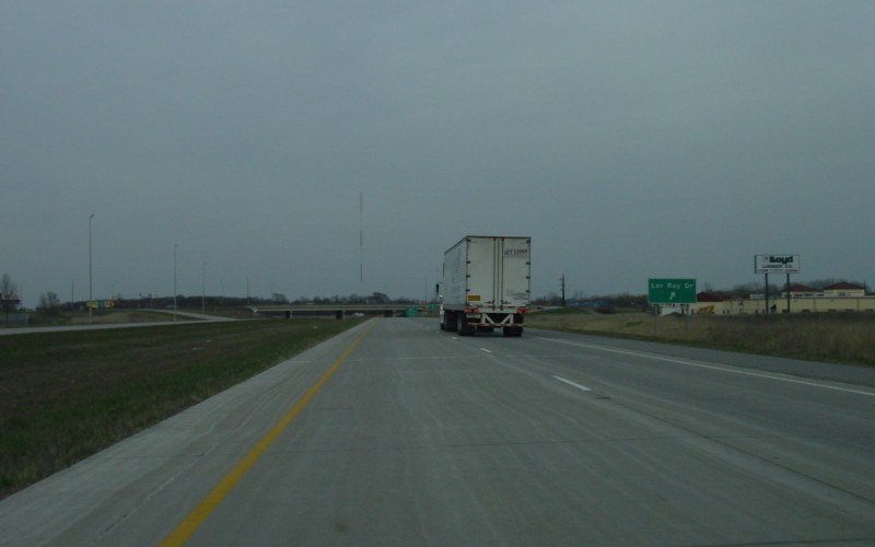
Lor Ray Dr is the second of the 3 North Mankato exits. Photo by Adam Froehlig, taken April 23, 2003. |
|
|
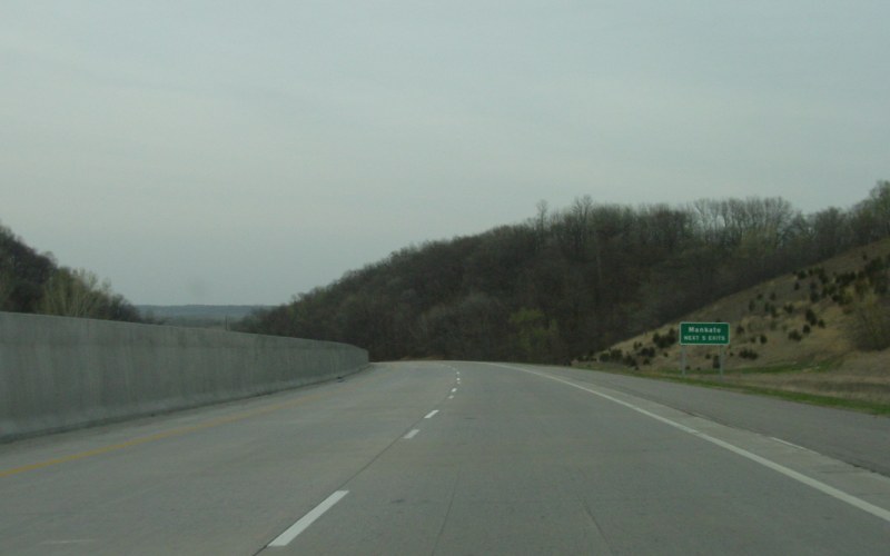
Descending into the Minnesota River valley, with a "Mankato Next 5 Exits" sign ahead. Photo by Adam Froehlig, taken April 23, 2003. |
|
|
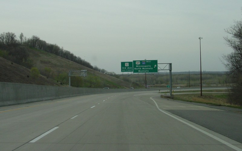
Near the bottom of the river valley descent is the exit to US 169. MN 60 joins US 14 here. Photo by Adam Froehlig, taken April 23, 2003. |
|
|
Another view of the US 14/US 169/MN 60 interchange. Currently a 6-ramp partial-cloverleaf, MnDOT has long-range plans to upgrade the interchange to a full cloverleaf. Photo by Adam Froehlig, taken April 23, 2003. |
|
|
Just east of US 169, with a "Next 3 Exits" overhead just before the Minnesota River bridge. Photo by Adam Froehlig, taken April 23, 2003. |
|
|
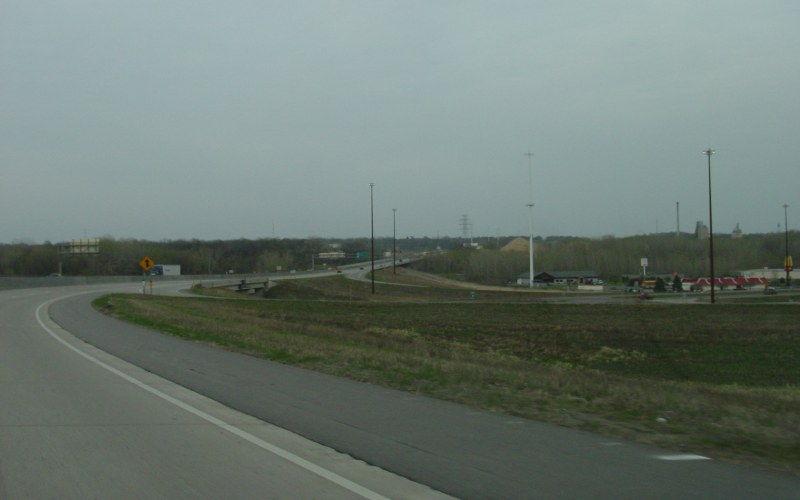
East of the Minnesota River is the first exit for Mankato proper, at Blue Earth CSAH 5. Photo by Adam Froehlig, taken April 23, 2003. |
|
|
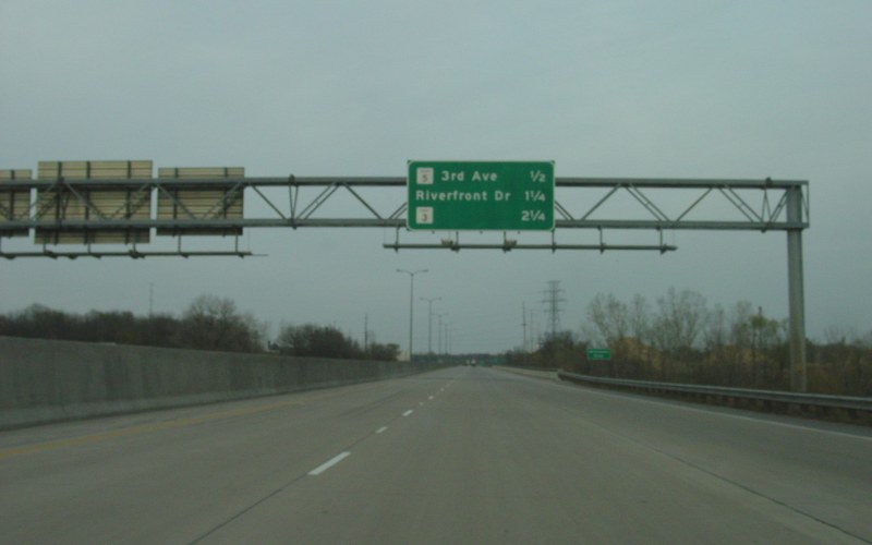
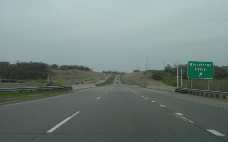
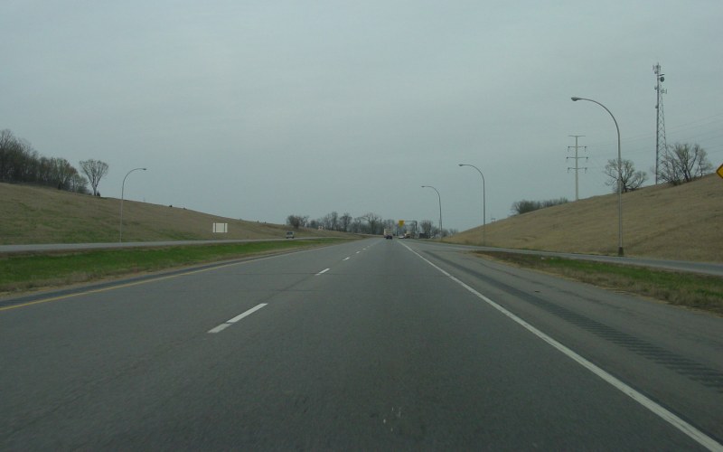
The second Mankato exit is for Riverfront Dr, one of the few streets to run the full length of Mankato. Prior to 1999, MN 22 ran north (left) and joined eastbound US 14 here. Photo by Adam Froehlig, taken April 23, 2003. |
|
|
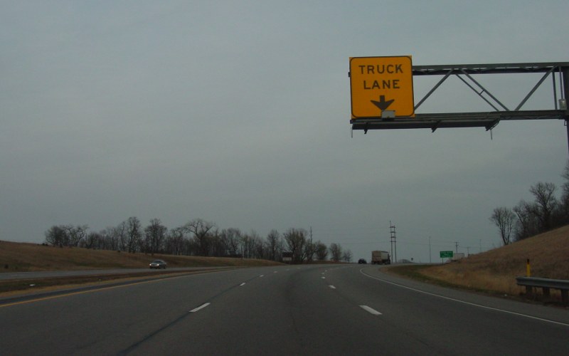
The on-ramp from Riverfront Dr forms a truck lane heading up the bluff out of the Minnesota River valley. Photos by Adam Froehlig, taken April 23, 2003. |
|
|
At the end of the truck lane is the interchange at Blue Earth CSAH 3. This is a newer interchange on the Mankato bypass, having been constructed ca. 2001. Photo by Adam Froehlig, taken April 23, 2003. |
|
|
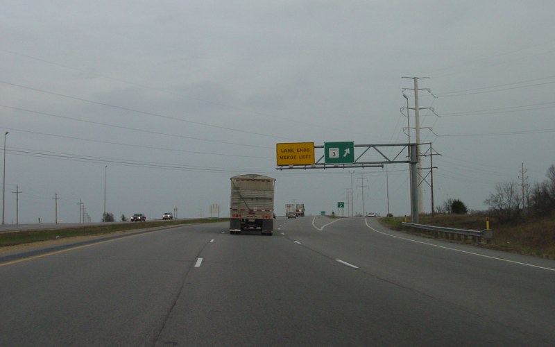
The intersection with Blue Earth CSAH 86 marks the east end of the freeway section around Mankato. Photo by Adam Froehlig, taken April 23, 2003. |
|
|
The intersection with Blue Earth CSAH 56 is the first of three connections between US 14 and the town of Eagle Lake. It is also being considered for the location of a future interchange. Photo by Adam Froehlig, taken April 23, 2003. |
|
|
This blurry photo shows the intersection with Blue Earth CSAH 55 on the north side of Eagle Lake. Photo by Adam Froehlig, taken April 23, 2003. |
|
|
On the east side of Eagle Lake is the junction with Blue Earth CSAH 17. To the west of here (to the right), CSAH 17 follows US 14's old routing through Eagle Lake and towards Mankato. This intersection is also being considered for a new interchange. Photo by Adam Froehlig, taken April 23, 2003. |
|
|
A couple miles east of Eagle Lake is where MN 60 splits off of US 14 to trek towards Madison Lake, Waterville, and Faribault. Photo by Adam Froehlig, taken April 23, 2003. |
|
|
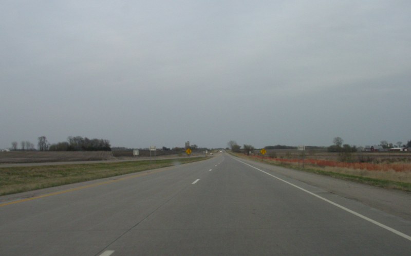
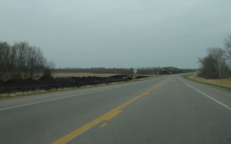
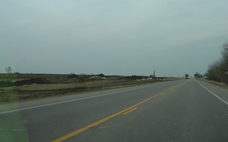
At the time, the 4-lane section on US 14 ended just east of MN 60. Photo by Adam Froehlig, taken April 23, 2003. |
|
|
3 photos showing grading work on widening US 14 to 4 lanes between MN 60 EAST and the Blue Earth/Waseca County line. Photos by Adam Froehlig, taken April 23, 2003. |
|
|
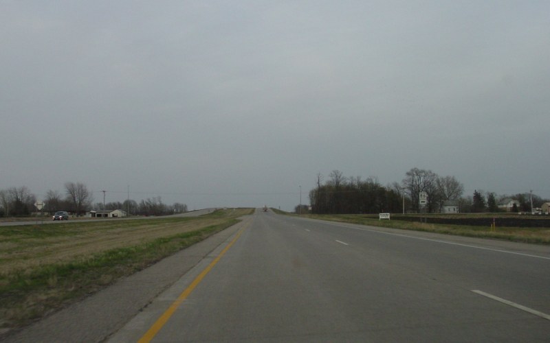
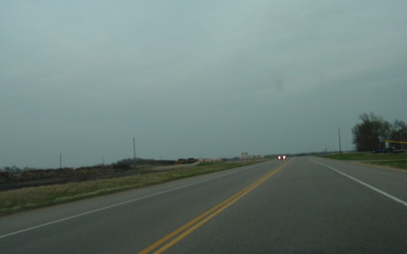
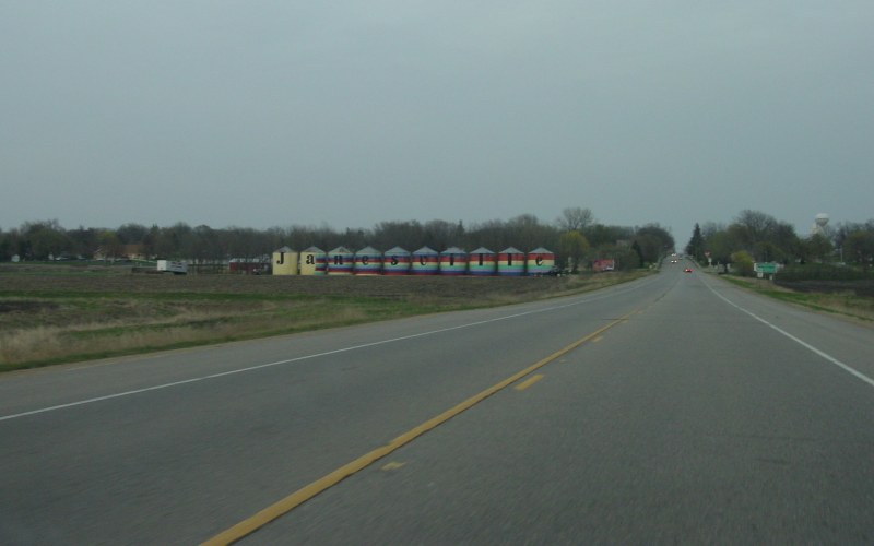
Approaching Janesville on what was US 14 until late August, 2006, when it moved to a new bypass south of town. Old US 14 is now a county road. Photo by Adam Froehlig, taken April 23, 2003. |
|
|
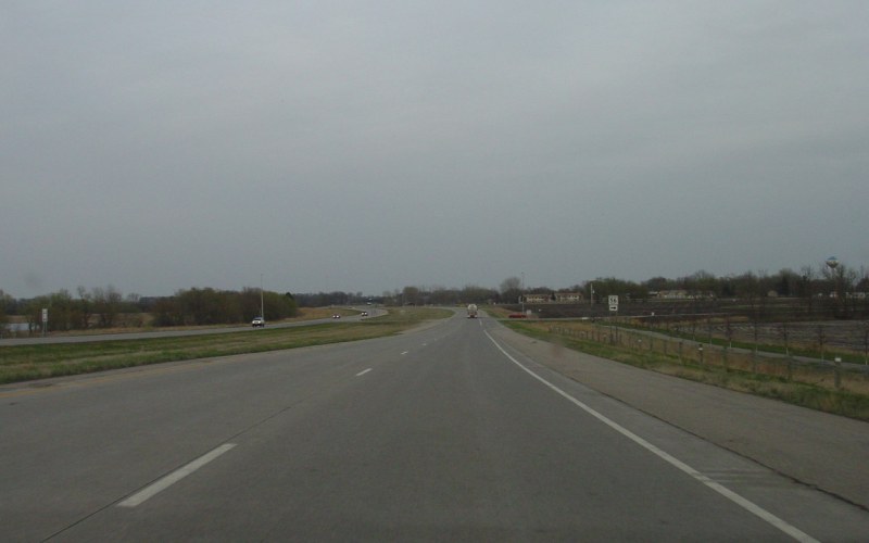
Eastbound on the south side of Owatonna at Steele CSAH 45 exit. CSAH 45 is an old routing of US 65. Photo by Adam Froehlig, taken April 22, 2003. |
|
|
The junction with Steele CSAH 6 is a right-in/right-out intersection. Formerly a standard 4-way intersection, the crossing was eliminated when US 14 was upgraded to 4 lanes in the early 2000s. As part of a long-range goal to freeway this part of US 14, an overpass, a frontage road, or simply closing the intersection are being considered here at CSAH 6. Photo by Adam Froehlig, taken April 22, 2003. |
|
|
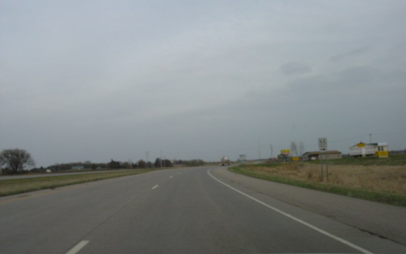
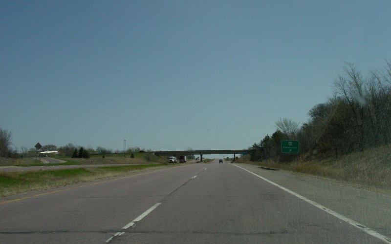
At the US 218 South exit. US 218 duplexes with US between I-35 and here. Formerly a 1-quadrant "interchange", this junction was upgraded to a folded-diamond interchange when US 14 was 4-laned in the early 2000s. Photo by Adam Froehlig, taken April 22, 2003. |
|
|
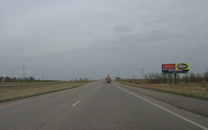
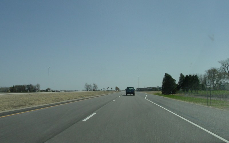
Just east of US 218, US 14 narrows back to a 2-lane highway. Studies are underway on how to bridge the 4-lane gap between here and Dodge Center. Photo by Adam Froehlig, taken April 22, 2003. |
|
|
This interchange at West Circe Drive (Olmsted CSAH 22) in Rochester was built with the northwest segment of CSAH 22 in the late 1990s. Photo by Adam Froehlig. |
|
|
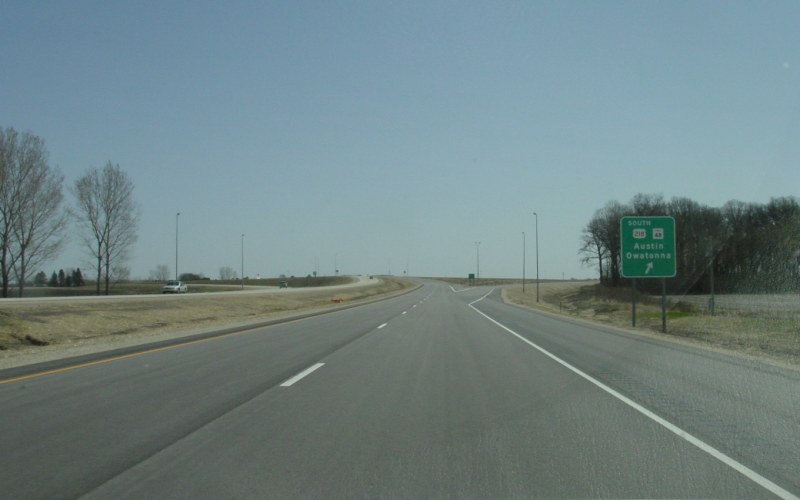
Westbound where US 218 joins US 14. Photo by Adam Froehlig, taken April 22, 2003. |
Back to MN Highway Endings
Back to Minnesota Photography
Back to Highway Photography
Back to Main Page
Back to Highways Page
Last Updated: April 16, 2008
(C) 2008-2002, Adam Froehlig