U.S. Highway 52 in Minnesota
|
|
Southern Terminus |
Northern Terminus |
| Minnesota | IA/MN State Line southeast of Canton, MN | MN/ND State Line at Moorhead, MN** |
| Nationally | In Charleston, SC | U.S./Canada International border at Portal, ND |
** - The northernmost point that US 52 is signed in Minnesota is at the interchange with I-94 in downtown St. Paul.
Terminus Photos
|
|
Crossing into Iowa on southbound US 52. Photo by Monte Castleman, taken July, 2002. |
Northbound Photos - Olmsted County
|
|
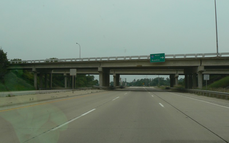
The I-90/US 52 interchange is currently a folded-diamond, folded to the east. As part of an overall plan to upgrade US 52 to a freeway between St. Paul and Rochester, there are long-range proposals to upgrade this interchange, possibly to a full cloverleaf. The north edge of this interchange marks the start of the existing freeway section through Rochester. Photo by Adam Froehlig, taken August 13, 2006. |
|
|
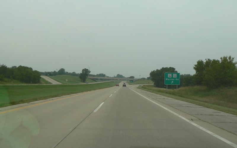
The interchange at CSAH 36/CR 111 is the first interchange north of I-90 on the Rochester freeway section. This segment was built ca. 1978. Photo by Adam Froehlig, taken August 13, 2006. |
|
|
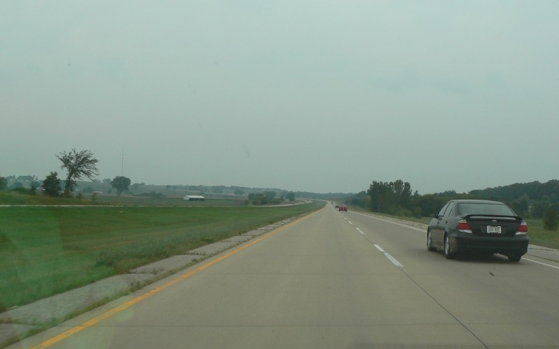
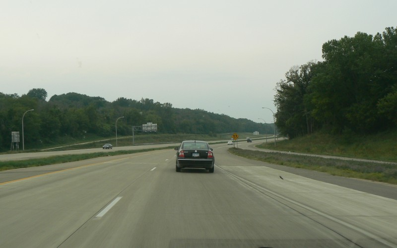
Long sloping view, southeast of Rochester, showing the hills and scattered woods and farmhouses common to much of southern Minnesota. Photo by Adam Froehlig, taken August 13, 2006. |
|
|
"Next 3 Exits" distance sign, showing the first three exits in Rochester proper. Of note is that the street names were used and not the corresponding route numbers (CSAH 1, US 63, and CSAH 25 respectively). Photo by Adam Froehlig, taken August 13, 2006. |
|
|
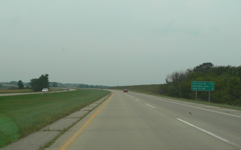
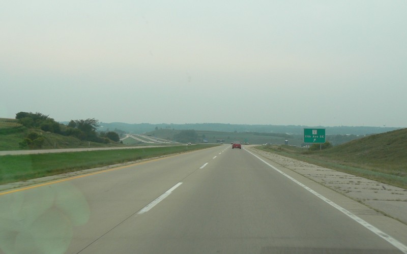
The first exit in Rochester proper is at CSAH 1/11th Ave SE. This immediate area is still fairly rural...note the rows of corn on the far left side of the photo. Photo by Adam Froehlig, taken August 13, 2006. |
|
|
The first indication of the new exit numbers on US 52 in Rochester is from this services sign, just before the CSAH 1/11th Ave SE underpass. Note that the accompanying advance guide sign in the lower photo does not include an exit tab. Photo by Adam Froehlig, taken August 13, 2006. |
|
|
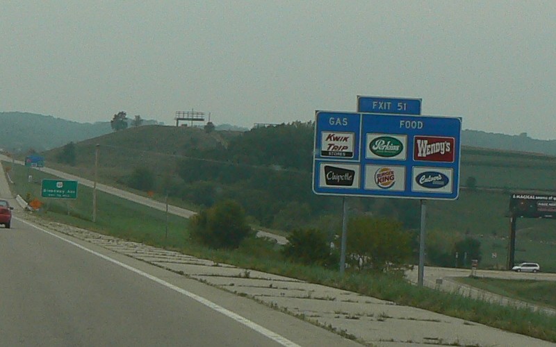
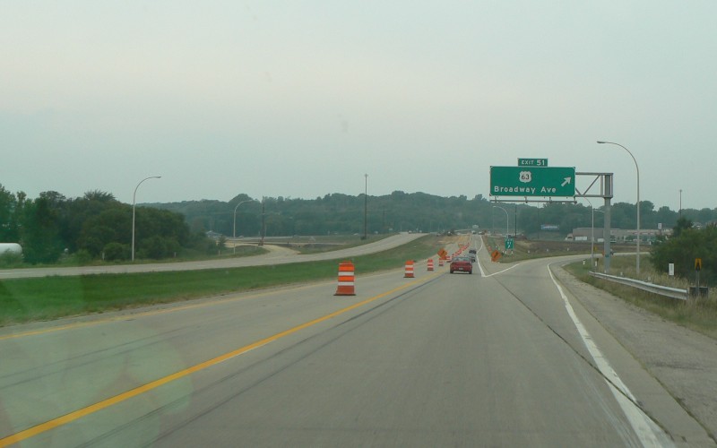
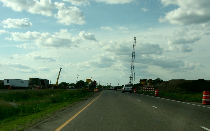
The first of ten newly reconstructed interchanges along US 52 in Rochester, a project which also included exit numbers...as seen here with "Exit 51". The lane closure was due to some residual construction from the ROC52 project (US 52 upgrade through Rochester) plus a freeway upgrade of US 63 just south of US 52. Photo by Adam Froehlig, taken August 13, 2006. |
|
|
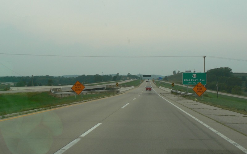
The on-ramp from southbound US 63/Broadway marks the beginning of the 3rd lane northbound. This marks the start of a roughly 10 mile segment with at least 3 lanes, ending at CSAH 14 north of Rochester. Photo by Adam Froehlig, taken August 13, 2006. |
|
|
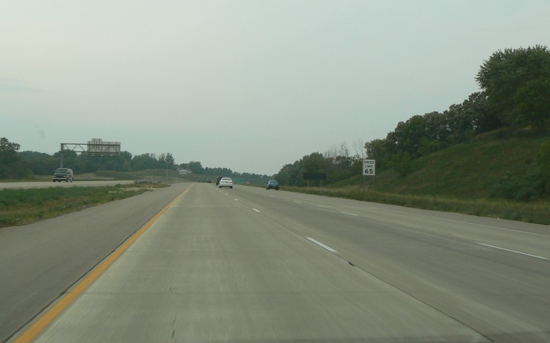
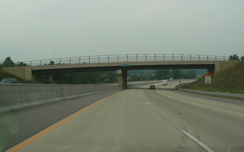
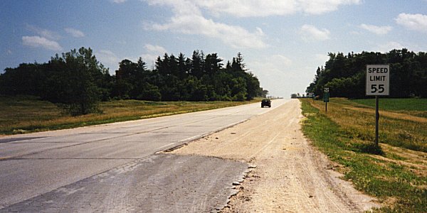
The ROC52 project reconstructed and upgraded about 11 miles of US 52 through and north of Rochester into a high-quality freeway. Most of the project, from US 63 north to CSAH 14, was widened to 6 lanes as mentioned above. The speed limit, previously 55 MPH through most of Rochester, was also increased upon completion of construction. The 65 MPH limit between I-90 and US 63 was extended north to the Mayowood Rd overpass, while north of Mayowood Rd was increased to 60 MPH (as seen in the bottom photo). Photo by Adam Froehlig, taken August 13, 2006. |
|
|
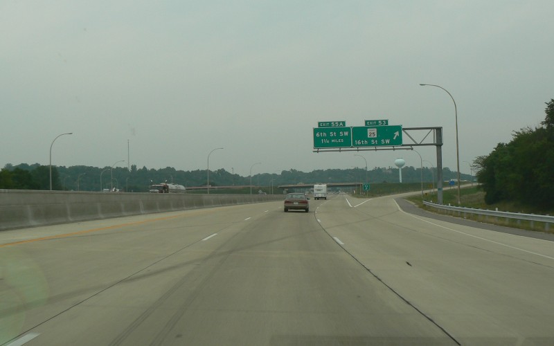
The next exit is for 16th St SW, also signed as CSAH 25. Although not signed for such, this is also the exit northbound traffic can use to get to West Circle Dr (CSAH 22). Photo by Adam Froehlig, taken August 13, 2006. |
|
|
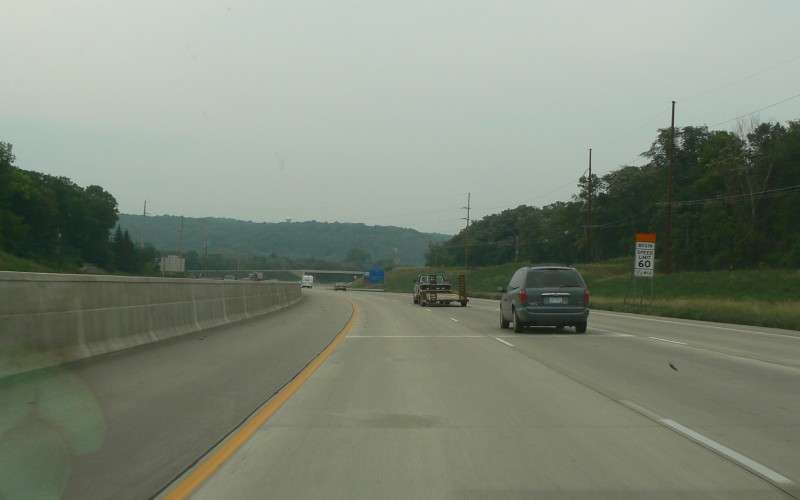
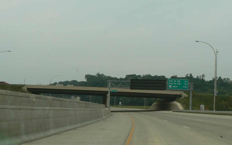
Another "next 3 exits" sign next to a variable message sign. The overpass in the background is part of a half-interchange where US 14 splits off to the east. Photo by Adam Froehlig, taken August 13, 2006. |
Northbound Photos (outside Olmsted County)
|
|
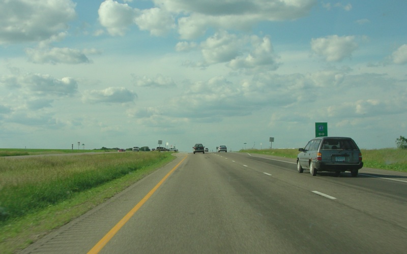
Northbound at Dakota CSAH 47. Due to a high accident rate, this intersection has been replaced with an overpass, with CSAH 47 crossing over US 52. Photo by Adam Froehlig, taken June 19, 2004. |
|
|
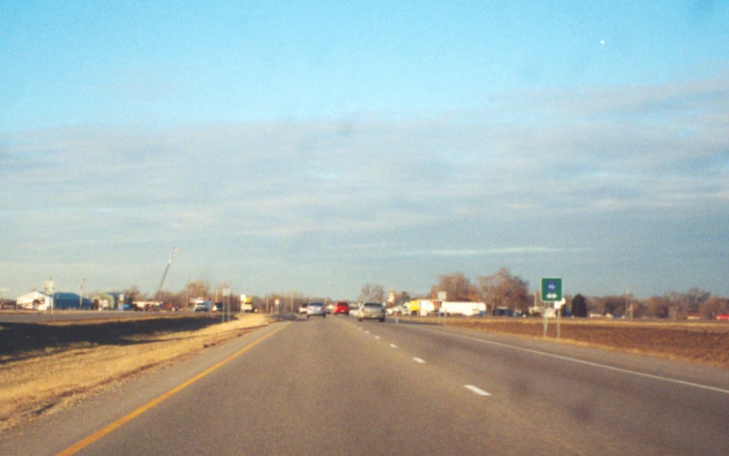
Northbound at Dakota CSAH 46. This intersection also had a high accident rate, which resulted in a new interchange being built here since this photo was taken. Photo by Adam Froehlig, taken prior to 2003. |
|
|
This photo is in about the same location as the photo above, showing the interchange at Dakota CSAH 46 under construction. Photo by Adam Froehlig, taken June 19, 2004. |
|
|
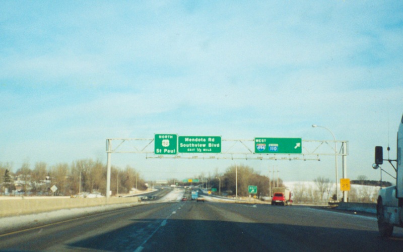
Northbound at the loop to westbound I-494 and MN 110. The gap in the guide sign goes back to when US 52 followed Robert St and not the Lafayette Freeway (which was MN 3 back then). Photo by Adam Froehlig. |
|
|
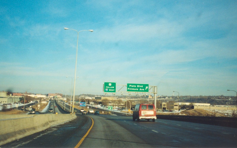
At the exit ramp to Plato Blvd, near the St. Paul Downtown Airport. The guide sign on the left states "US 52 Follow I-94 West". This is the last reference to US 52 in Minnesota, with the next reference not being until after crossing the Red River into Fargo, ND. Photo by Adam Froehlig. |
|
|
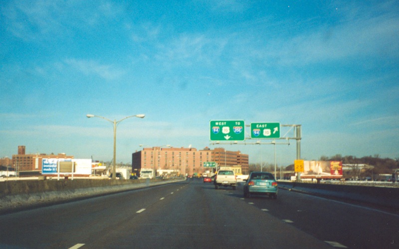
Near the north end of the Lafayette Bridge, at the ramp to I-94 East. Note that there is already no further mention of US 52 following I-94 West. Photo by Adam Froehlig. |
Southbound Photos
|
|
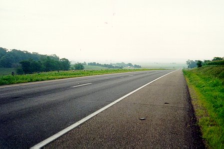
Good shot of south(east)bound US 52 in southern Dakota County, between Hampton and Cannon Falls. Photo by Adam Froehlig, taken in July, 1996. |
|
|
A short bypass lane at the junction with Olmsted CSAH 7, which might become a MN 42 extension sometime in the future. Photo by Adam Froehlig. |
|
|
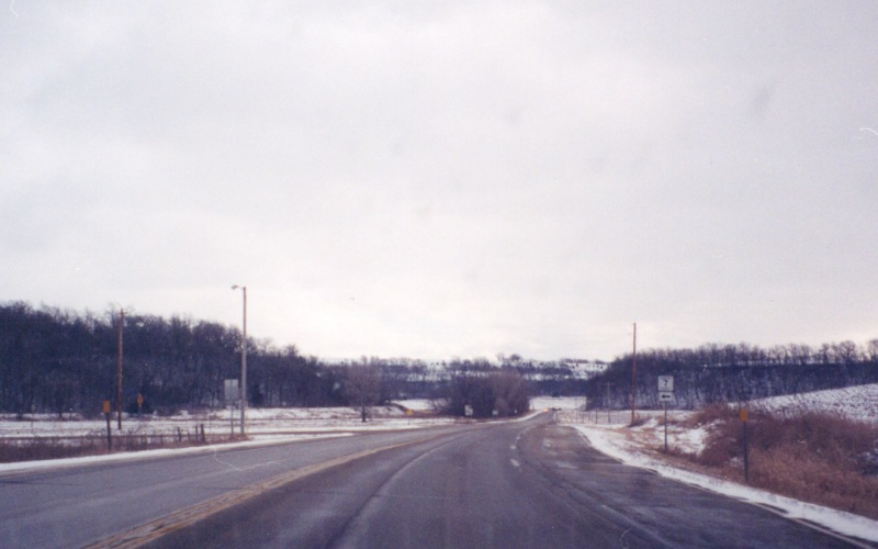
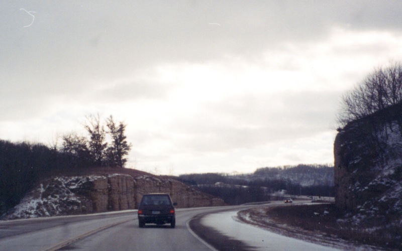
This rock cut is located somewhere between Chatfield and Preston. Photo by Adam Froehlig. |
US 52 at US Highway Ends
Go to MN Highway
Endings
Go to Minnesota Photography
Go to Highway Photography
![]()
Page last modified 20 May, 2009
(C) 2009-2002, Adam Froehlig