Other Mississippi Highway Scenes (from Sandor Gulyas)
The below pictures are from Sandor Gulyas, a misc.transport.road regular who took a trip across northern Mississippi in 1999. Some of his pictures also show up on my other roadpic pages.
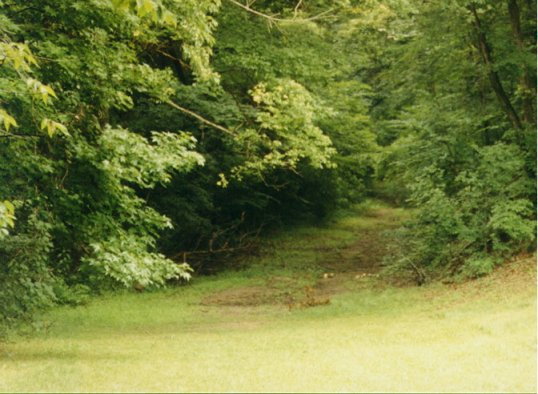
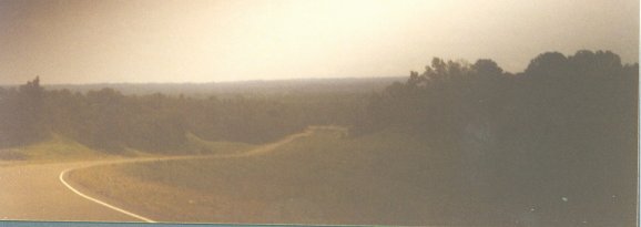
A pic of part of the OLD Natchez Trace.
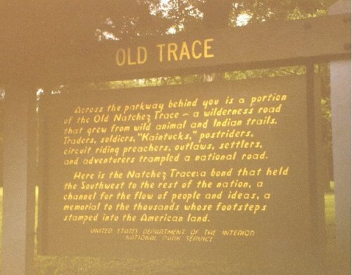
Wooden sign on the Natchez Trace Parkway.

A secondary BGS (Big Green Sign) from I-55 in southern Mississippi.
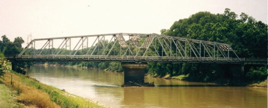
An old bridge in Greenwood. Likely over the Yazoo River (but not certain).
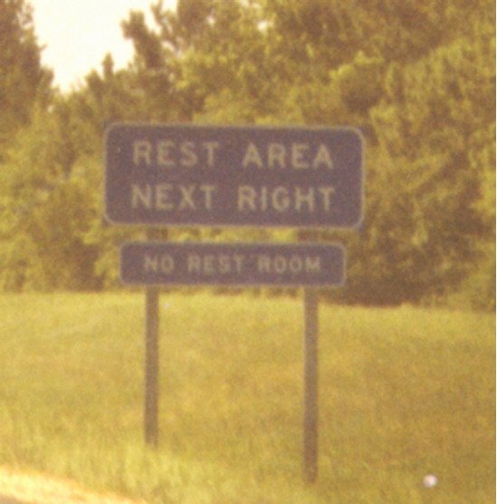
"Rest Area" sign that should probably be a "Parking Area" sign instead.
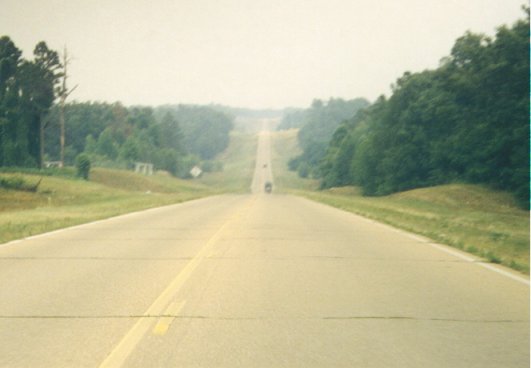
A typical Mississippi rural highway. Not certain, but it appears to be MS 7 somewhere north of Grenada.
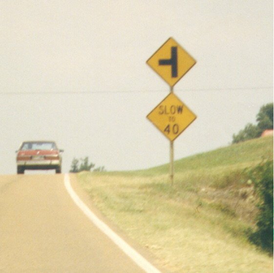
Typical sign installation. MDOT will usually add the "slow to XX" sign when conditions/topography would suggest a lower speed.
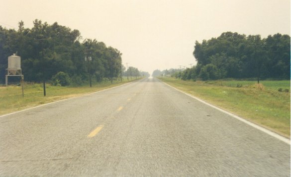
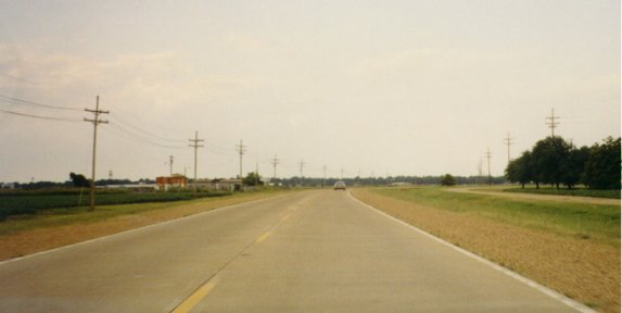
Typical Mississippi Delta highway: flat, quiet, and in many cases boring.
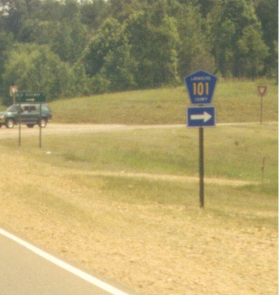
Some counties in Mississippi mark their roads with blue pentagons, such as Lafayette County in this example. The green sign in front of the SUV guides Old Highway 7 to the right.
A hill on US 61.
Two different roadbeds for US 61. The one on the far right is the old routing, before it was straightened and improved on the current routing. This is south of Leland. Notice that the road is paved in concrete, which is somewhat common in the Mississippi Delta region, but rare in the rest of the state.
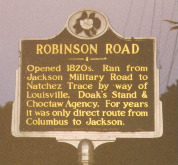
Sign showing some history of Robinson Road.
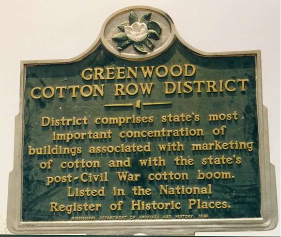
Another placard, this time from Greenwood.
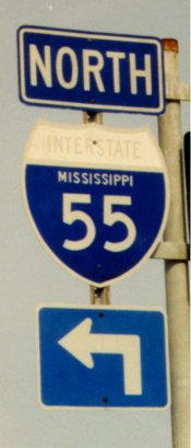
An OLD I-55 MS shield. The Interstate is almost totally faded.
![]()
This is where MS 41 and MS 32 intersect in Okolona. MS 32 ends 1 block to the left of this pic, at MS 245.
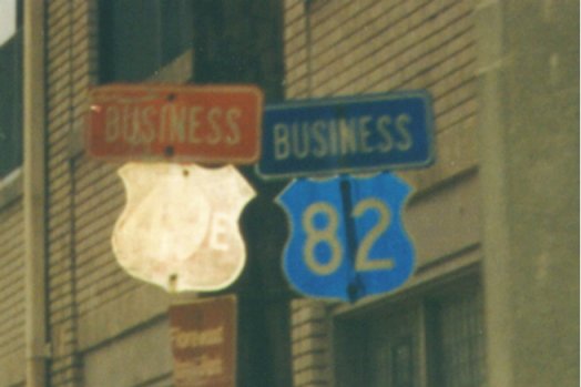
Old-style shield coloring, from an old Mississippi color-coded system (which I have yet to figure out). This is on the old route in Greenwood.
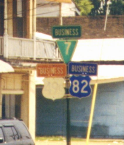
Another example of the old-style coloring system in Greenwood.
![]()
Page last modified 26 October, 2003