Mississippi State Highway 6

All photographs were taken by the webmaster.

Westbound on Main St (MS 6) at Front St in Tupelo.  This marks the general beginning of the Tupelo downtown area.
Now at Green St, which used to be a VERY old alignment of US 45 through the city.

Two photos of one of the busiest intersections in Tupelo, the Main St (MS 6) and Gloster St (MS 145) intersection.  Traffic is compounded by the presence of a busy Burlington Northern line passing at an angle through the intersection.  A study is underway to determine the feasibility of moving the rail line out of the downtown Tupelo area.

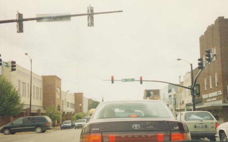
Gloster St was the 2nd generation alignment of US 45 through Tupelo.  From the mid-1950s until sometime in the 1970s, US 278 used to end at US 45 here.

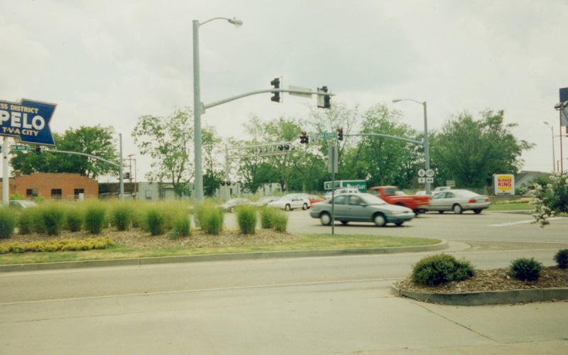
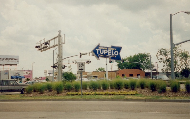
The arrow sign refers to Tupelo as the "First T-V-A City".  Tupelo was one of the first beneficiaries of the Tennessee Valley Authority, which was created in the 1930s to build hydroelectric dams and control flooding in the Tennessee River valley.

Page last modified 07 October, 2005

(C) 2005  Adam Froehlig