
I-85 Greensboro, NC Loop - Page 2
This is the second of three photo pages detailing the relatively new I-85 loop around Greensboro, NC. Prior to the loop opening, I-85 traveled through Greensboro itself on a congested and sometimes dangerous corridor. The loop was built in part to alleviate the traffic situation through Greensboro by routing I-85 through traffic out of the city. After a few years of construction, the loop opened on February 21, 2004. I was there the following morning to test-drive the loop and take these photos.
All photos were taken by the webmaster (Adam Froehlig) on February 22, 2004.
Northbound Photos
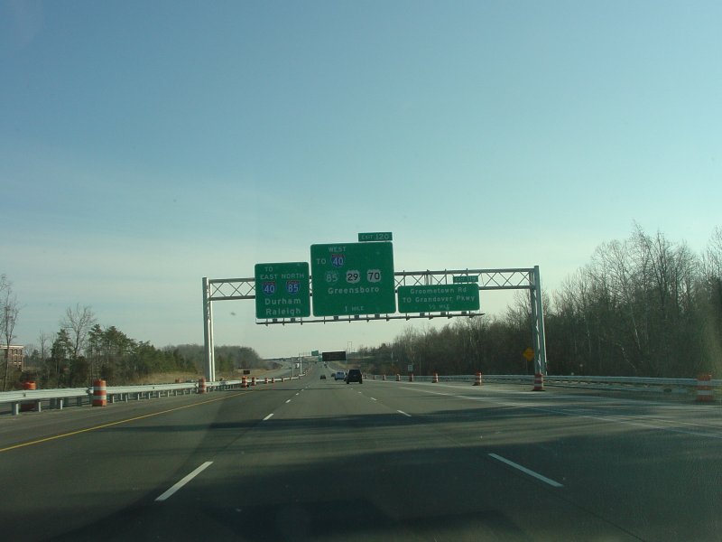
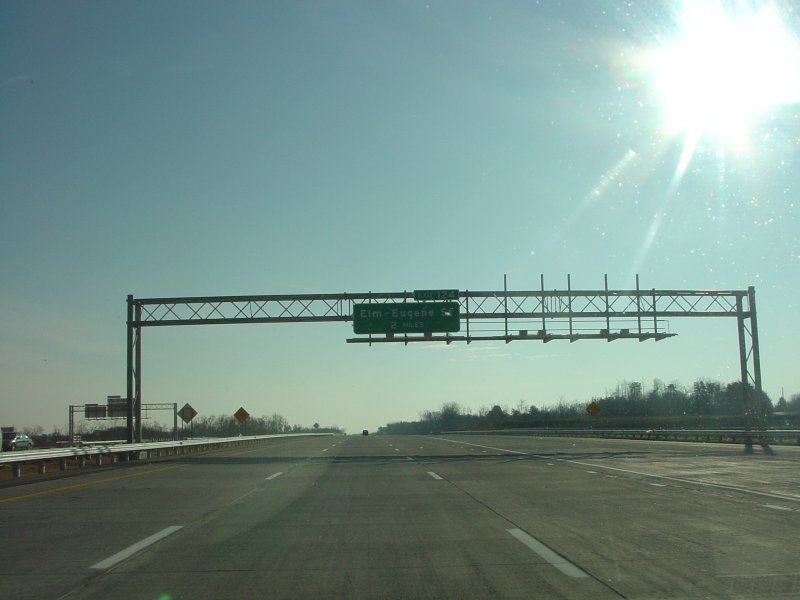
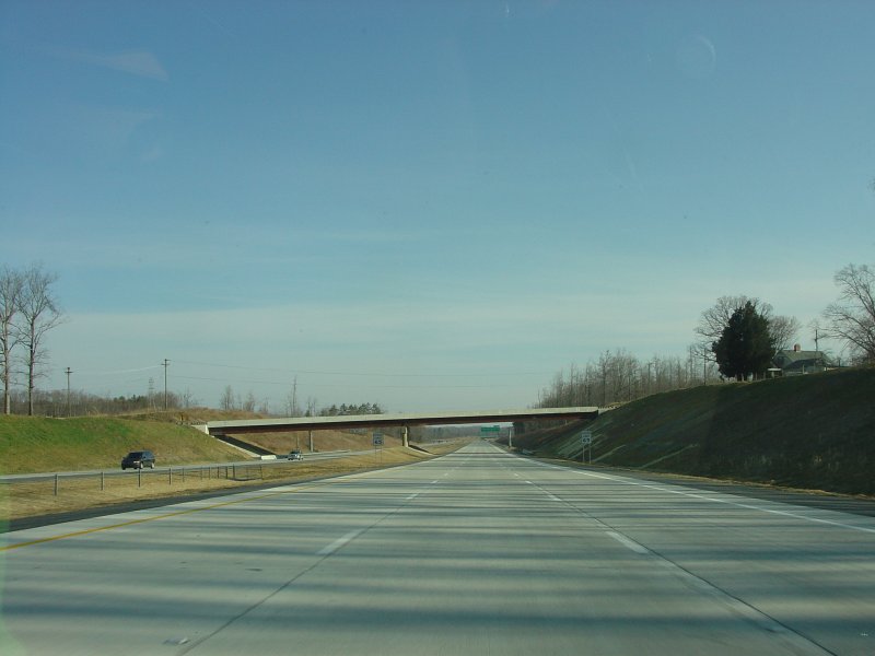
| Northbound signage approaching the loop. The orange cones were for residual construction, since this was still just the day after it opened. The empty areas on the overhead are for future signs for the under-construction southwest loop. |
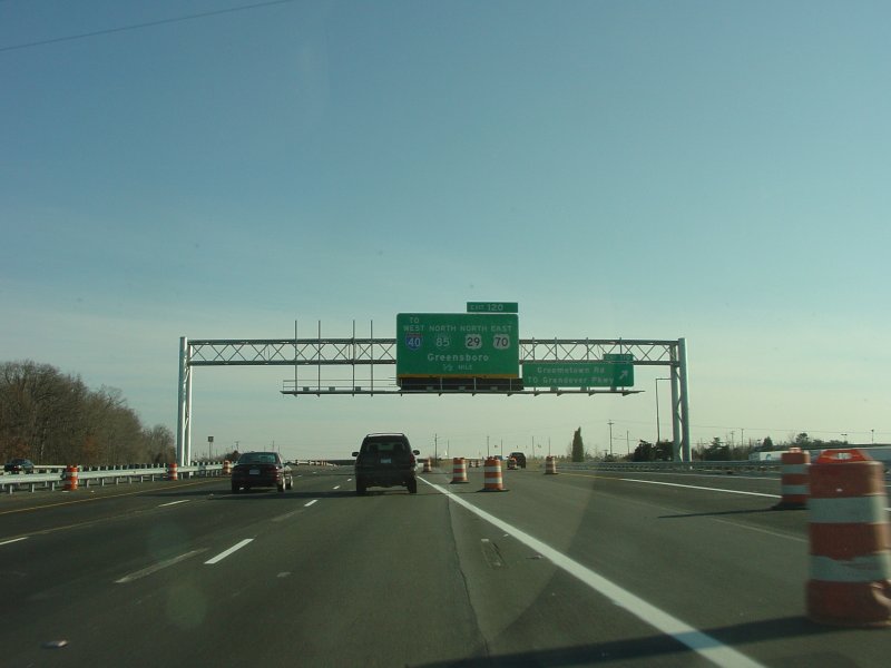
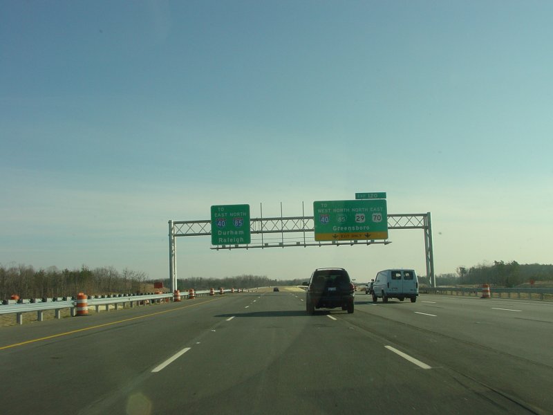
| These missing ramps and signs approaching US 220 will be added as part of the southwest loop construction. |
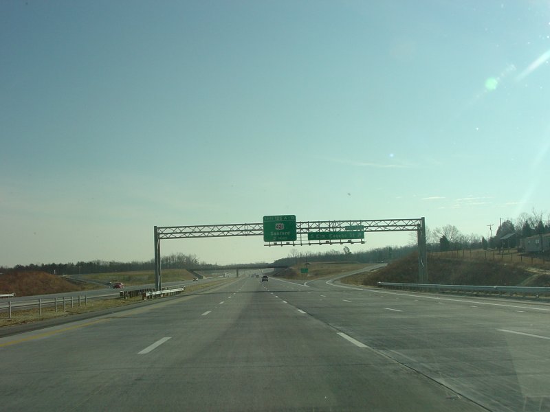
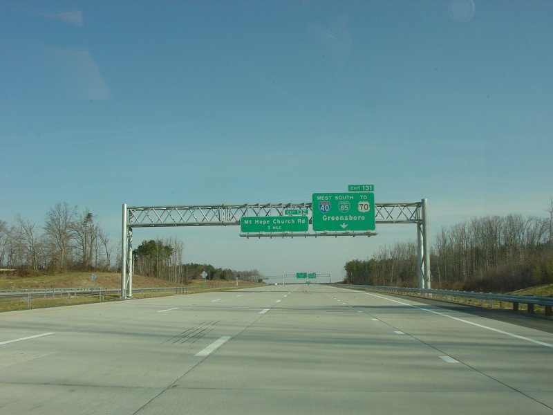
| Northbound signage up to the US 421 interchange, including the northbound C/D road at US 421. |
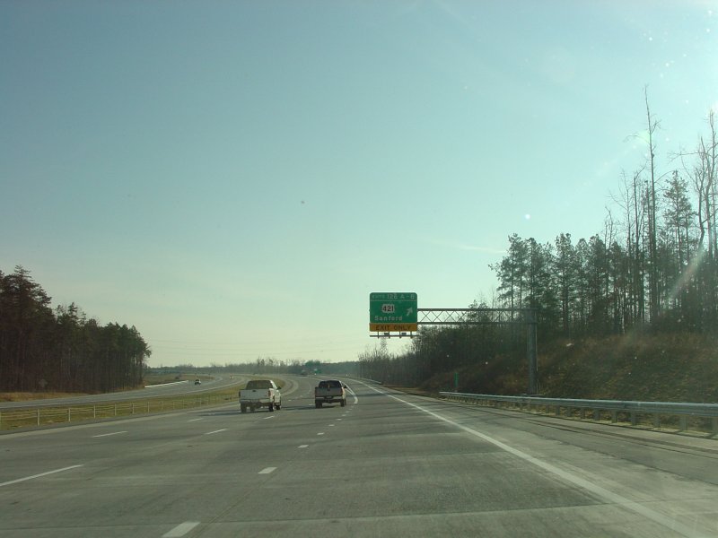
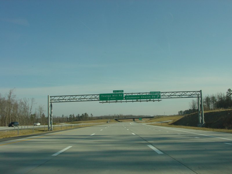
| Continuing northbound up to Youngs Mill Rd. |
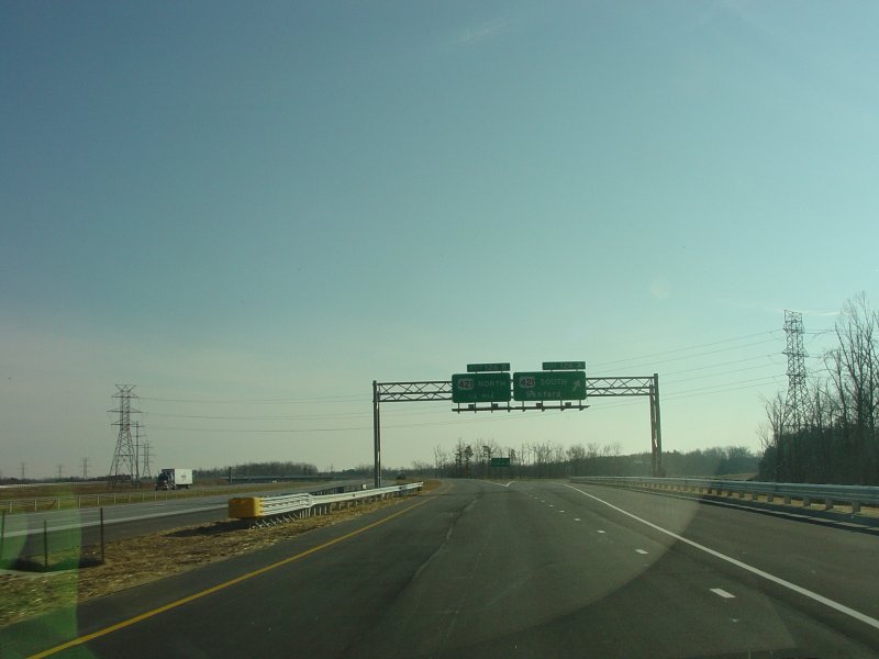
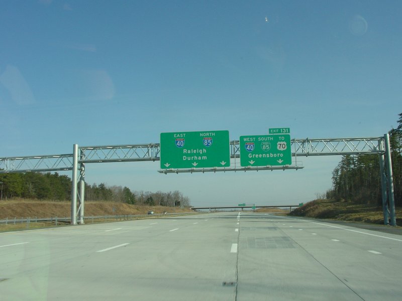
| Signage near the northbound end of the loop. The path to US 70 is part of future I-840, which will follow the northern half of the Greensboro loop. |
Southbound Photos
Side Route Photos
![]()
Page last modified 3 June, 2005
(C) 2005 Adam Froehlig