


Norway Road-related Photos
These photos are from a trip to the Bergen, Norway area (via the airport at Oslo, Norway) that I took in March, 2002. All photos were taken by the webmaster.
|
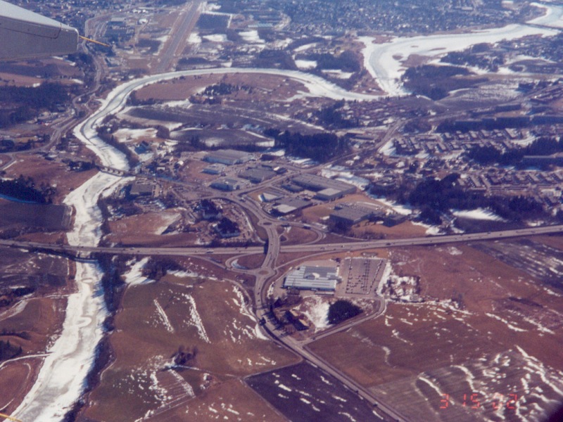
| Looking eastward at the junction of the E6 expressway and Norway Route 22. At the time, my flight was in the pattern for Kjeller Field (the runway in the upper left corner). Photo taken March 15, 2002. |
|
| Looking southwest at a long suspension bridge on Norway Route 555 over one of the main access fjords into Bergen, Norway. Route 555 in this area is, by U.S. standards, a Super-2 freeway. Photo taken March 15, 2002. |
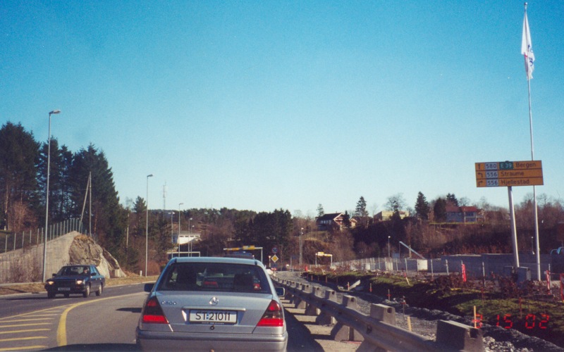
| Norway Route 580, heading east out of the Bergen/Fleisland Airport area. Photo taken March 15, 2002. |
|
| Approaching the junction of Norway Route 580 and Route 556, east of Bergen Airport. Photo taken March 15, 2002. |
|
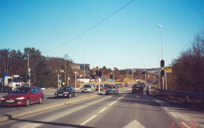
| Further east along Route 580. As with several other European countries (and a few U.S. states), Norway makes extensive use of protected-only left turn signals with red arrows. Photo taken March 15, 2002. |
|
| A split in traffic between Norway Route 553 (left) and Route 580 (right). One of several mountains in the Bergen area can be seen in the left background. Photo taken March 15, 2002. |
|
| A view from the northbound E39, in the southern parts of Bergen. Photo taken March 15, 2002. |
|
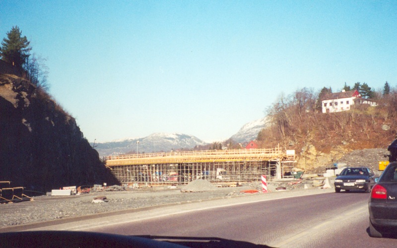
| Construction of a new interchange along the E39 in southern Bergen. Photo taken March 15, 2002. |
|
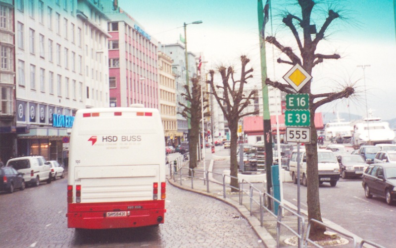
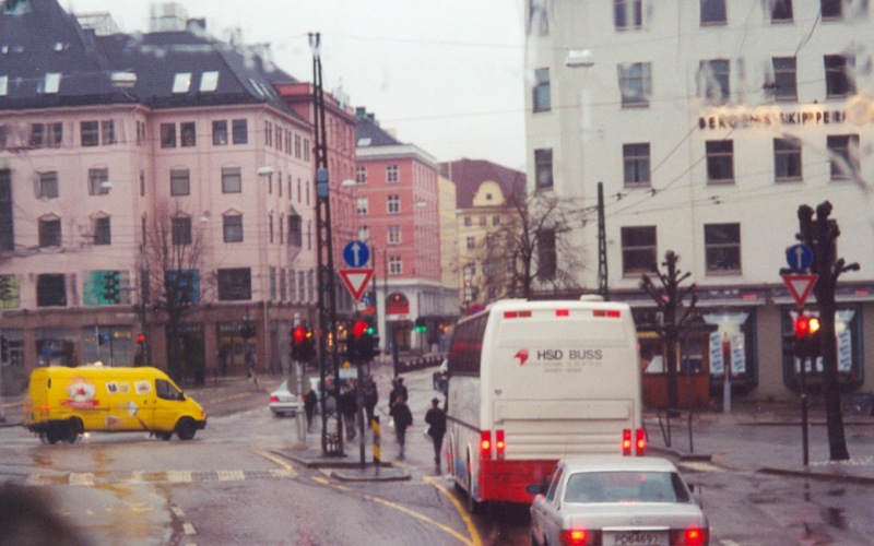
| Two street scenes from central Bergen. Photos taken March 17, 2002. |
![]()
Page last modified 06 July, 2006
(C) 2006, Adam Froehlig