

U.S. Highway 89 in Utah
This set of 2005 summer vacation photos follows northbound US 89 (and mostly hidden UT 30) from the east side of Logan, through the Bear River Range, to Garden City. The photos are shown in the order they were taken (as we proceeded northeast). All photos were taken by the webmaster on August 2, 2005. Click on a thumbnail for a larger image.
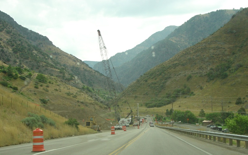
| Bridge work on two bridges on the east side of Logan and entering Logan Canyon. |
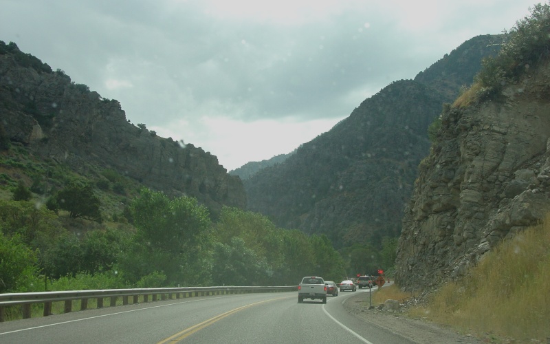
| Going through Logan Canyon. |
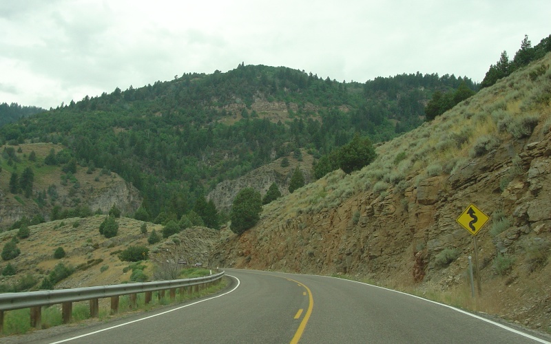
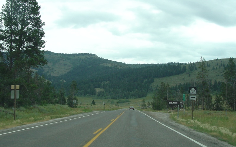
| A rare straightaway, with Beaver Mountain in the background. |
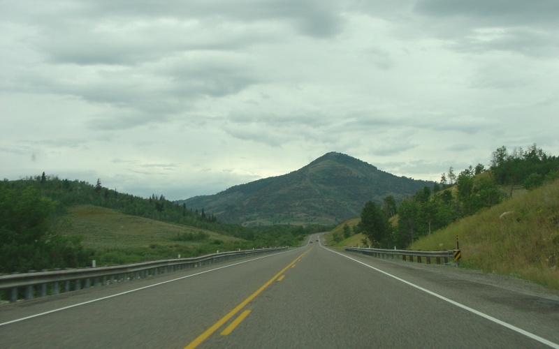
| This blurred photo shows northbound US 89 entering Brush Canyon, with Beaver Mountain off-camera to the left. |
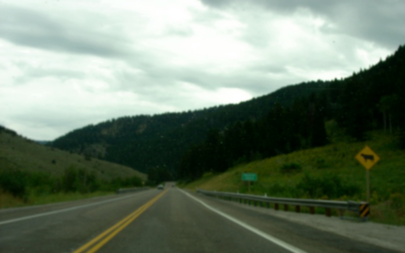
| UT 243's southern terminus. The route's sole purpose is to connect to the Beaver Mountain ski area. |
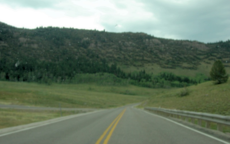
| These modified images (gaussian blur/contrast enhancement) are east of UT 243, approaching Bear Lake Summit. |
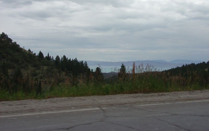
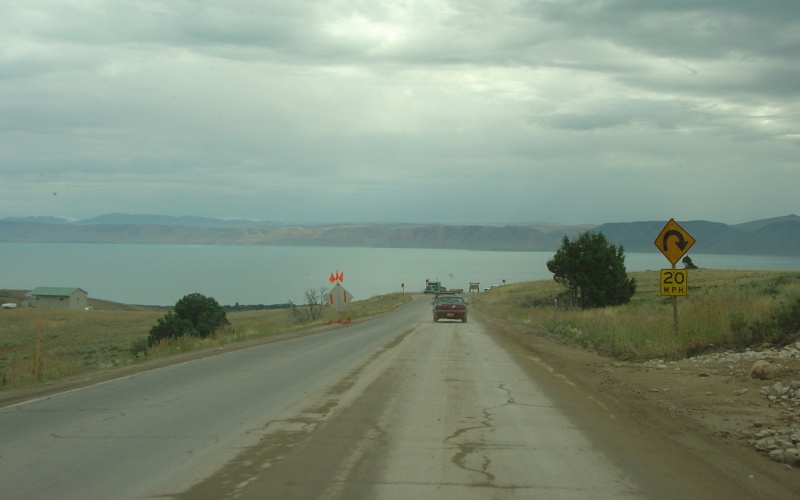
| Past the summit, one starts getting views of Bear Lake (lake elevation 5,923ft). |
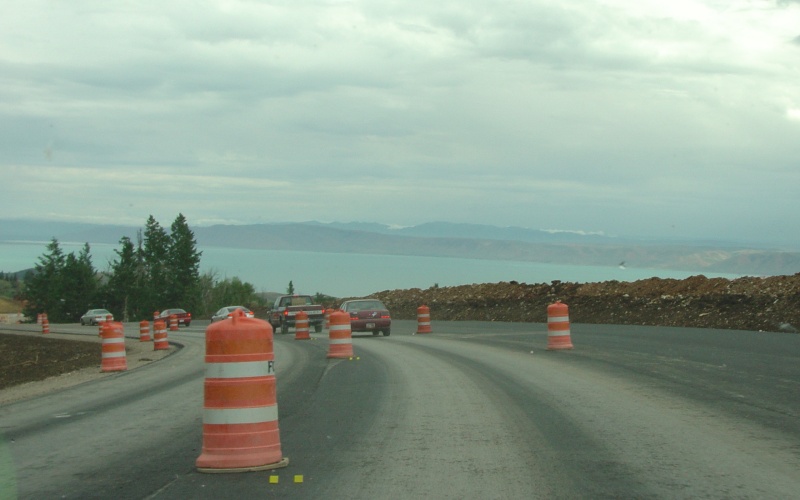
| At the time, UDOT was doing a reconstruction project on US 89 on the east side of Bear Lake Summit, leading down the slope to Garden City. The project added a truck climbing lane and smoothed out some curves. |
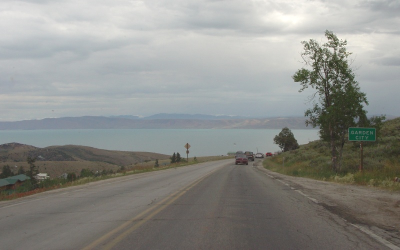
| A sign denoting Garden City, which is a small town at the bottom of the hill on the lake. |
| This hairpin curve featured an overlook which looked out over the lake and the town of Garden City. The curve has since been replaced by a more gradual curve via the above-mentioned construction project. Meaghan has some photos from the overlook. |
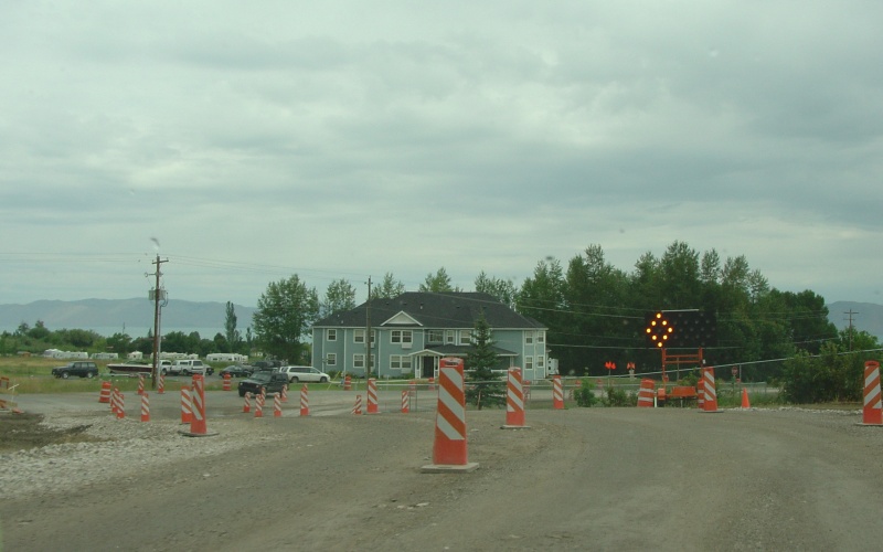
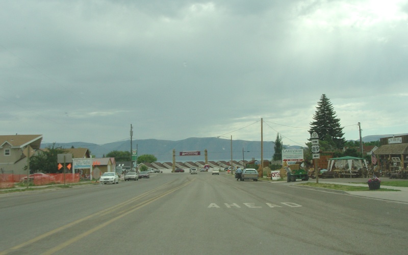
| The construction project wraps up at the bottom of the hill and entering Garden City proper. |
| Near the Garden City lakeshore, US 89 turns north towards Idaho while UT 30 turns south to follow around the south side of Bear Lake. |
Go to the US 89/US
91 page to see more US 89 photos
Back to Utah Photography
Back to Highway
Photography
![]()
Page last modified 20 March, 2009
(C) 2009 Adam Froehlig