
April 30, 2003, Northern Missouri
This page details some photos I took during a storm chase through northwestern Missouri on April 30, 2003, generally from Rockport over to east of Bethany. While most of my photos of the "good stuff" turned out poorly, these photos are presentable enough to at least provide some additional, lesser seen aspects of the chase. My chase partners that day were Meredith Lindrud, Adam Gowalski, and his friend Amanda.
|
|
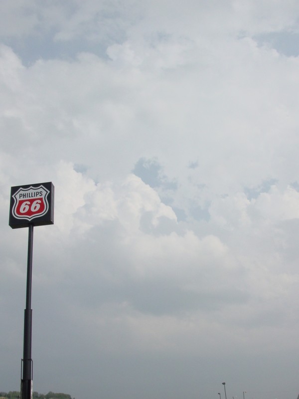
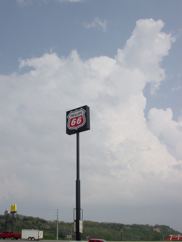
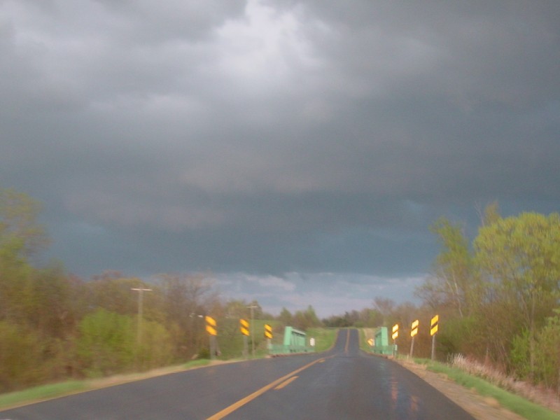
Two photos showing some initiation, just before the cells were able to break through the "cap". These were taken from a truck stop at the I-29/US 136 intersection near Rockport, around 3:30pm CDT. |
|
|
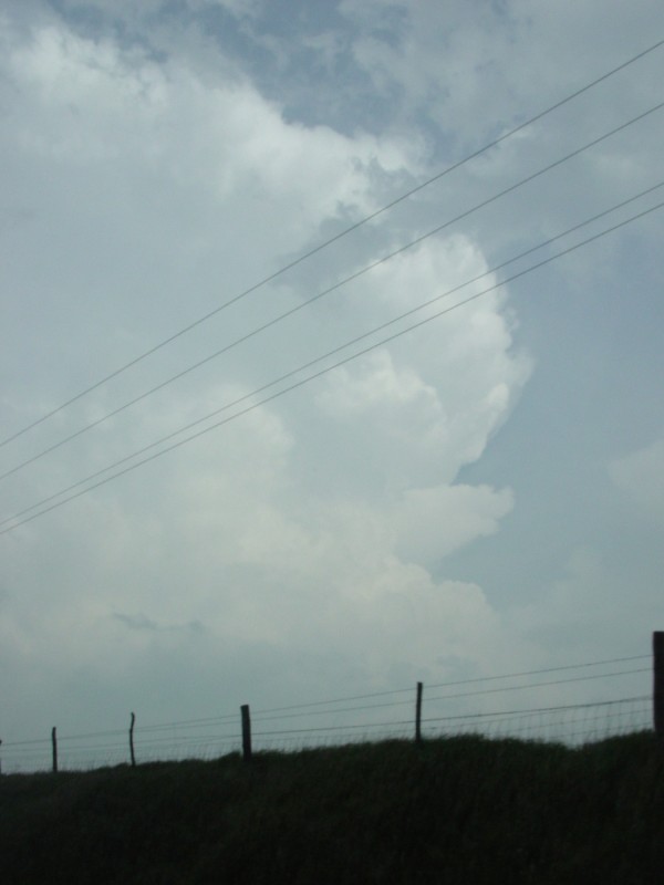
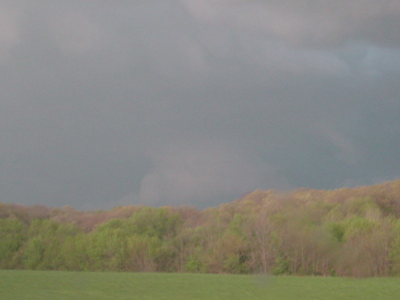
About an hour later, among the hills of western Nodaway County (somewhere between US 136 and MO 46)....the backside of one of the cells. |
|
|
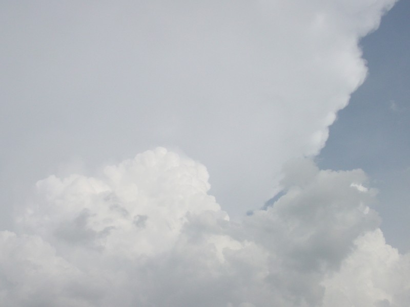
These two photos, taken around 5pm, show the anvil almost directly overhead. |
|
|
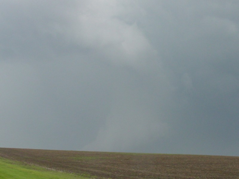
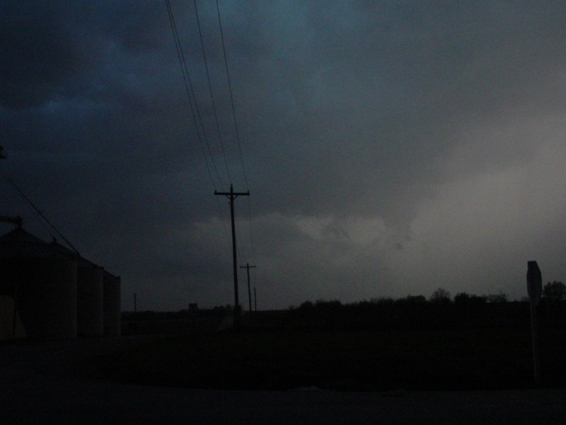
It's difficult to see because of my camera, and it was difficult to tell because of the distance and the hill, but near the bottom center of the photo is what appeared to be at least remnants of the Maryville wall cloud. Taken around 5:15pm CDT from a few miles west of Maryville along MO 46. |
|
|
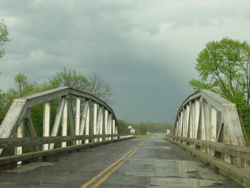
Taken around 6pm CDT. On the chase, crossing the Grand River on Route "O" in northwestern Gentry County, with a couple other "chaser vehicles" ahead of us. |
|
|
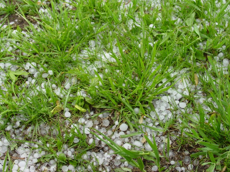
Taken around 6:15pm CDT. To get our bearings and figure out a way east, we stopped briefly at a farmstead on US 169 near the Gentry/Worth County line. By our estimation, we missed the hail by about 10 minutes. This hail measured up to 1 1/2 inches in diameter. |
|
|
Also taken from the farmstead. This view is looking east towards the storm as it moved away. |
|
|
Taken around 6:50pm CDT, as we headed towards Bethany along Route "F". |
|
|
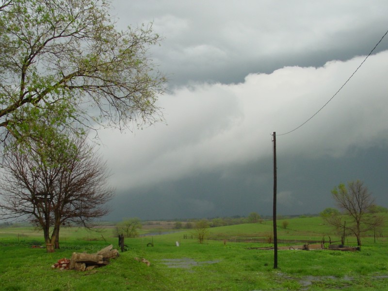
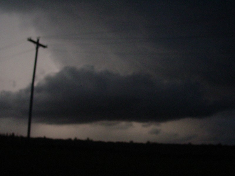
Immediately after rounding the curve in the above photo, we saw what looked to be a wall cloud, roughly 1 mile or so north of Bethany. |
|
|
These last two photos, taken around 7:10pm as sunset approached, showed some interesting cloud formations while in between cells. We were at the intersection of US 136 and Route "T", about 5 miles east of Bethany. Shortly after I took these photographs, we got pounded by a succession of thunderstorm cells that dumped heavy rain, 1 inch hail, and winds in the 40-50 knot range for about an hour. We wound up taking refuge in a grain elevator behind the one in the upper photo. |
Back to Weather Pictures
![]()
Page last modified 10 February, 2004