Cumulonimbus Pics
The following show various Cumulus and Cumulonimbus photographs I've taken:
|
|
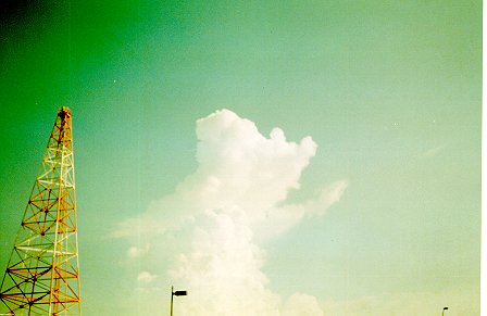
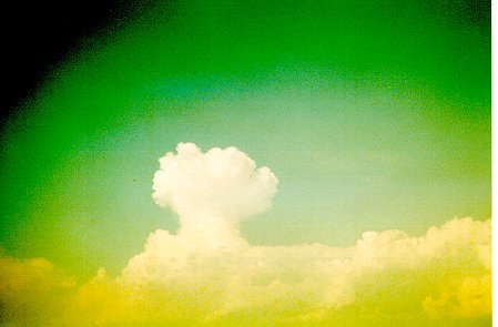
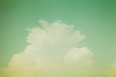
A towering cumulus (TCU) sprouting up. (Low cloud 2) |
|
|
This photo shows the above-mentioned TCU after it grew into a cumulonimbus (CB) (Low cloud 3) |
|
|
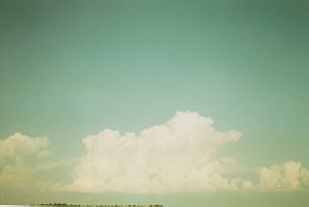
Looking south (from NAS Meridian's airfield) at another TCU. (Low cloud 2) |
|
|
Looking east. The TCU from above has become a CB. (Low cloud 3) |
|
|
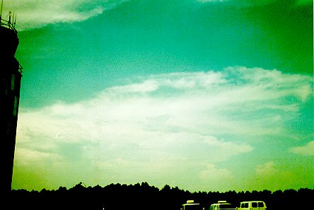
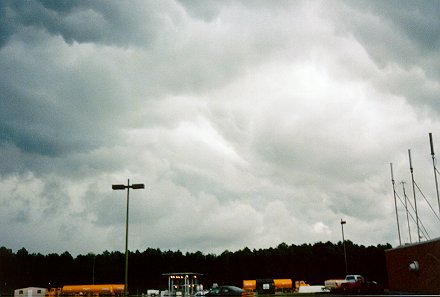
Looking north from the airfield with the control tower at the extreme left. This photo shows a cumulonimbus (CB) with an anvil and some associated cirrus outflow. (Low cloud 9, High cloud 3) |
|
|
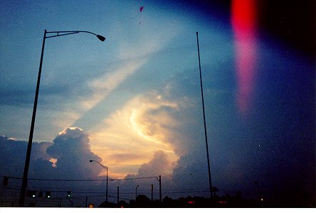
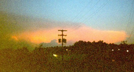
The sunlit back of a fairly large thunderstorm cell, with some TCU trailing behind. This shot was looking north from the junction of I-20/59 and MS 19/39 in Meridian. (Low cloud 9) |
|
|
This fairly large CB south of NAS Meridian had tops indicated at over 60,000 feet. |
|
|
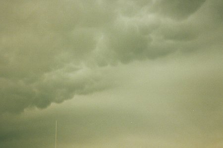
Some Cumulonimbus Mammatus (CBMAM) over the airfield at NAS Meridian. Mammatus are often an indicator of severe turbulence, and are also commonly associated with severe weather. |
|
|
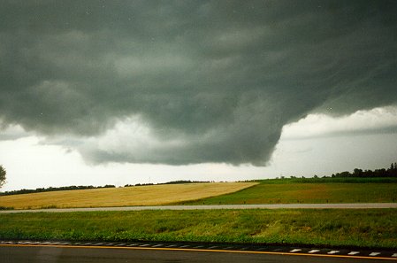
A fascinating view of a wall cloud that I saw during a trip hope to Minnesota in July, 2000. This storm grew out of the same system (but not the same cell) that spawned a killer F4 tornado at Granite Falls, MN the same day. Here, I was on eastbound I-94, just east of the Brandon exit (Exit 90) in western Douglas County This particular wall cloud dissipated about 10 minutes after I took this photograph. |
|
|
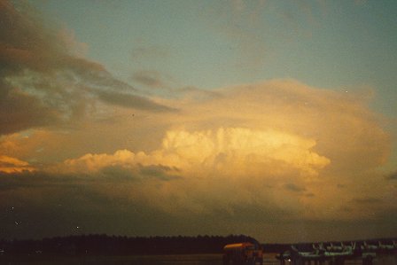
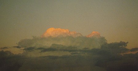
The first of a series of three photographs showing a dissipating cumulonimbus east of NAS Meridian near sunset. |
|
|
The sun has gone down by this point, and with it, the "daytime heating" that supports air-mass thunderstorms such as this one. You can see the tops of this cell starting to drop, as compared with the first photo. |
|
|
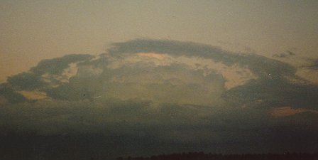
The CB has dissipated, leaving a mass of cumulus, stratocumulus, and altocumulus. |
|
|
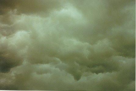
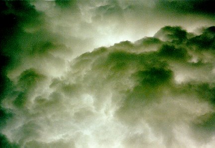
The first of five photographs showing the turbulent skies often associated with thunderstorms. |
|
|
Looking west along North Hills St in Meridian at the underside of a "roll cloud". Roll clouds are often found along the leading edge of a thunderstorm "gust front", where the downdrafts of a thunderstorm rush down towards the underlying land. |
|
|
This is looking north from the NAS Meridian airfield. |
|
|
This wild-looking photograph was scanned in black-and-white. |
|
|
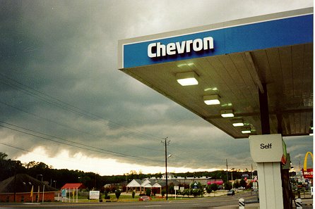
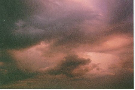
Low-level clouds associated with a late evening thunderstorm. |
Back to Weather Pics
![]()
Page last modified 31 December, 2003