|
 |
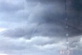
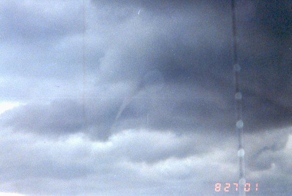
By the time I'd heard of the Waterspout
and made it down to the beach (I lived 3.5 miles away), the waterspout
was already near the Long Beach municipal pier and was starting to "rope
out" (i.e. dissipate). If you look closely here, you can make out
where the waterspout touched the water. |
|
 |
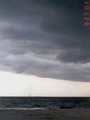
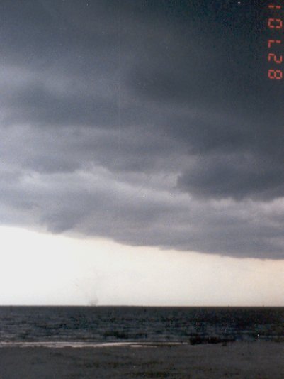
This waterspout developed along the
leading edge of a thunderstorm. Here's the base of the
thunderstorm cell, showing the visible upper portion of the waterspout. |
|
 |
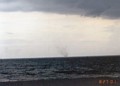
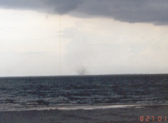
By this point, the waterspout was
starting to die out. If you look closely, you can still make it
out. |
|
 |
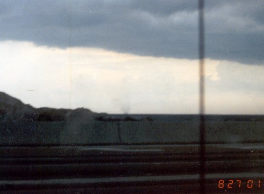
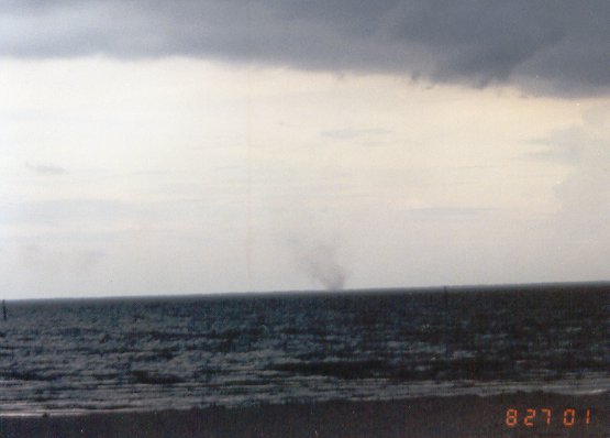
Just off the beach in Long Beach, MS. |
|
 |
This is the last photograph I got of the
waterspout. It dissipated less than a minute after I took this
photo. |
|
Link #1
Link #2 |
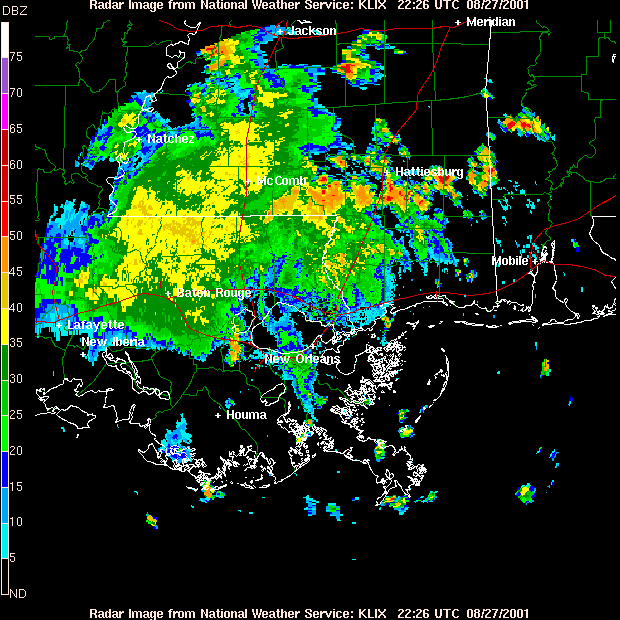
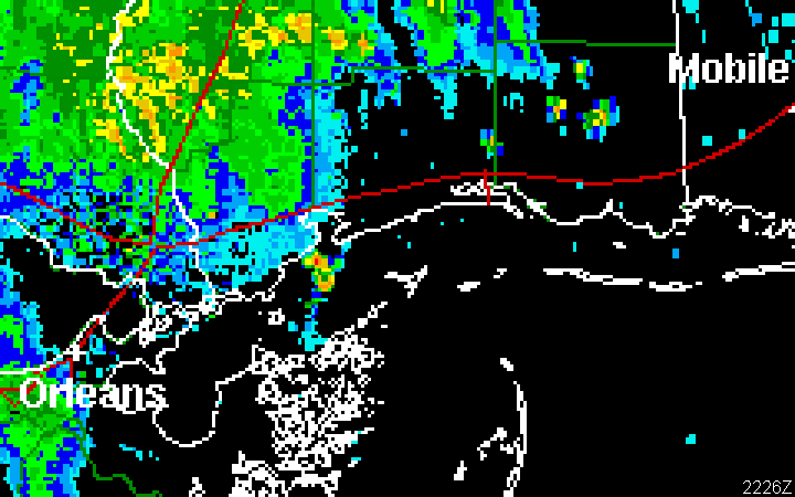
The two links at left are animated GIFs,
showing radar time lapses I made from Base Reflectivity data from the
NWS WSR-88D Doppler Radar at Slidell, LA. Link #1 shows the
overall area, while Link #2 is a zoom-in of the area where the
waterspout formed. For reference, red lines represent Interstate
highways, green lines represent county and parish lines, and white lines
represent state lines and island boundaries. North is to the top.
The body of water above New Orleans is Lake Pontchartrain, while the
intersection of the two red lines east of that (near the center of Link
#1) is the I-10/I-12/I-59 junction. I-10 runs along the red line
to the east (right) of that junction.
The waterspout formed just off of Waveland, at
roughly the same time as the 2nd image in each time lapse. It ran
along the leading edge of the cell that formed between the beach and the
barrier islands, and had dissipated by the time of the 2nd-to-last
image. |