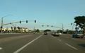
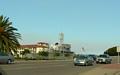
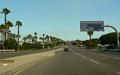
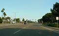
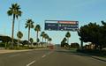
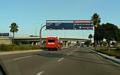
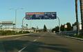
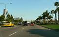
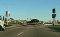
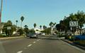
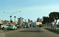
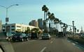
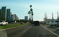
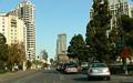
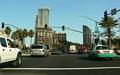
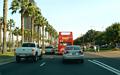
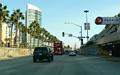
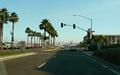
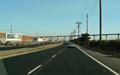
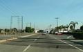
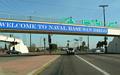
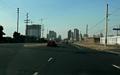
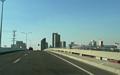
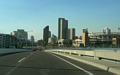
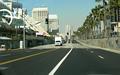
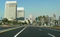
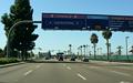
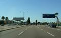
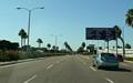
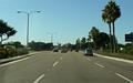
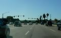
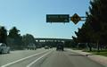
These photos sequence both directions of Harbor Drive in San Diego. Harbor Drive runs along and near the San Diego Bay shore, extending from the Hugo St/Scott St intersection (one block east of Rosecrans St/CA 209) eastward and southward to a partial interchange with I-5 near the 32nd Street Naval Station. Along the way, it connects to major destinations such as San Diego Int'l Airport, San Diego Harbor, downtown, Petco Park, the Convention Center, and the Naval Station. A line of the San Diego Trolley parallels Harbor Drive south of downtown.
The photos generally sequence Harbor Drive (with some gaps) between the old Navy Recruit Training Center and the 32nd St Naval Station. All photos were taken by the webmaster in October, 2007. Click on a thumbnail for a larger image.
Jump down to the westbound photos.
Eastbound Photos

Back to the top
Back to Froggie's San
Diego area highway photos
See some of Froggie's non-road-related
San Diego photos
Back to Highway
Photography
![]()
Page last modified 12 November, 2007
(C) 2007 Adam Froehlig