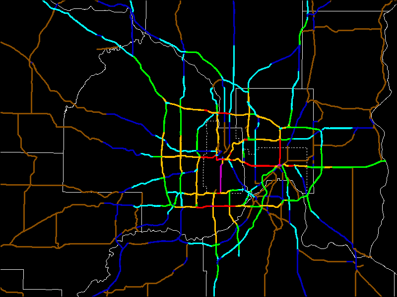
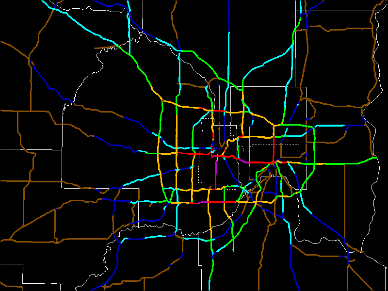
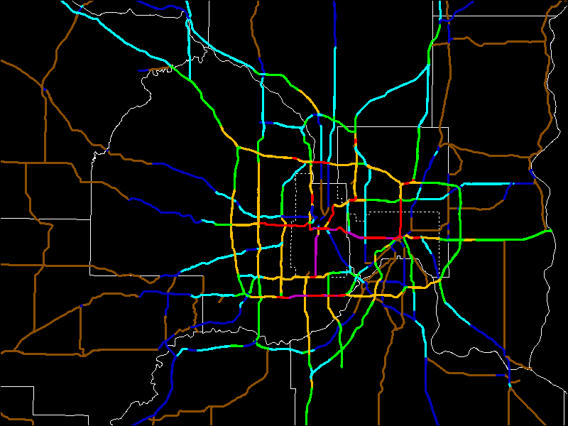
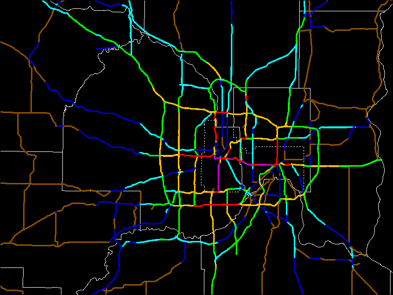
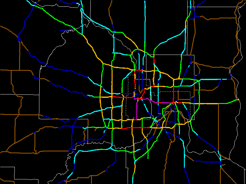
The following maps show 1996 to 2006 traffic counts on Twin Cities freeways, major expressways, and state highways.
Legend
1996 Traffic Count Map
1998 Traffic Count Map
2000 Traffic Count Map
2002 Traffic Count Map
2004 Traffic Count Map
2006 Traffic Count Map
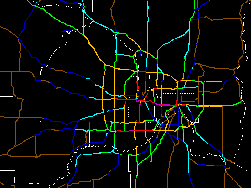
As you can see, the busiest sections are between the downtowns, south of downtown Minneapolis, and parts of I-494 in Bloomington.
Click here to go to my suggested changes (Interstates).
Click here to go to the non-Interstates.
Click here to go to maps of the current system and my
suggested changes.
Return to Twin Cites Highways
![]()
Page last modified 02 May, 2008