|
Duplex Location |
Length (mi) |
Signed directions |
| Mankato to Eagle Lake |
10.0 |
US 14 E-W |
|
Duplex Location |
Length (mi) |
Signed directions |
| Mankato to Eagle Lake |
10.0 |
US 14 E-W |
Photographs
|
|
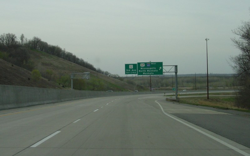
Eastbound US 14, near the bottom of its Minnesota River valley descent. MN 60 joins US 14 here. Photo by Adam Froehlig, taken April 23, 2003. |
|
|
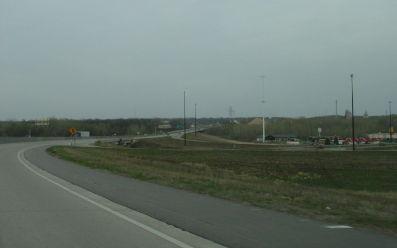
Another view of the US 14/US 169/MN 60 interchange. Currently a 6-ramp partial-cloverleaf, MnDOT has long-range plans to upgrade the interchange to a full cloverleaf. Photo by Adam Froehlig, taken April 23, 2003. |
|
|
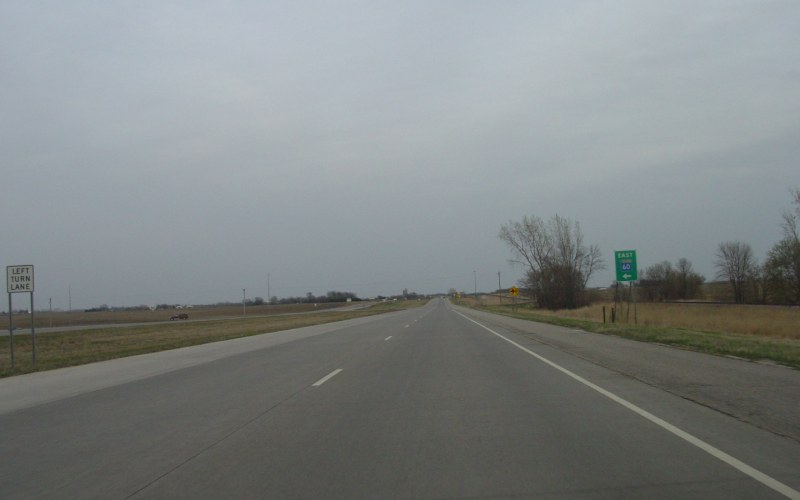
A couple miles east of Eagle Lake is where MN 60 splits off of US 14 to trek towards Madison Lake, Waterville, and Faribault. Photo by Adam Froehlig, taken April 23, 2003. |
More photos showing US 14/MN 60 between Mankato and Eagle Lake can be viewed here.
Back to Minnesota Multiplexes
Back to Highway Photography
Last Updated: May 17, 2008
(C) 2008-2005, Adam Froehlig