|
|
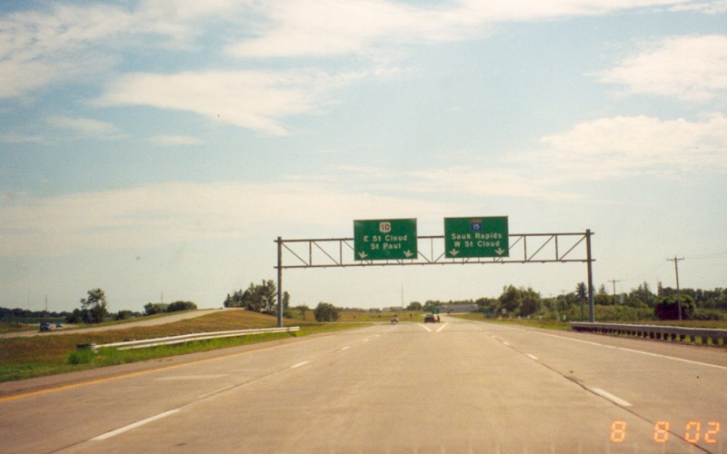
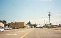
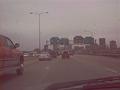
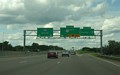
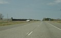
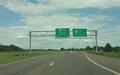
Eastbound at Morrison CSAH 26 in Royalton.
Royalton is a major bottleneck along US 10 during summer weekends. Though
a bypass is proposed, it won't be built for several years. Photo by Adam
Froehlig, taken August 8, 2002. |
|
|
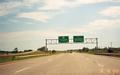
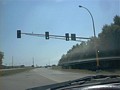
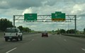
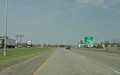
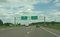
Eastbound at the exit to MN 15, which marks the
beginning of the Sauk Rapids bypass. Photo by Adam Froehlig, taken August
8, 2002. |
|
|
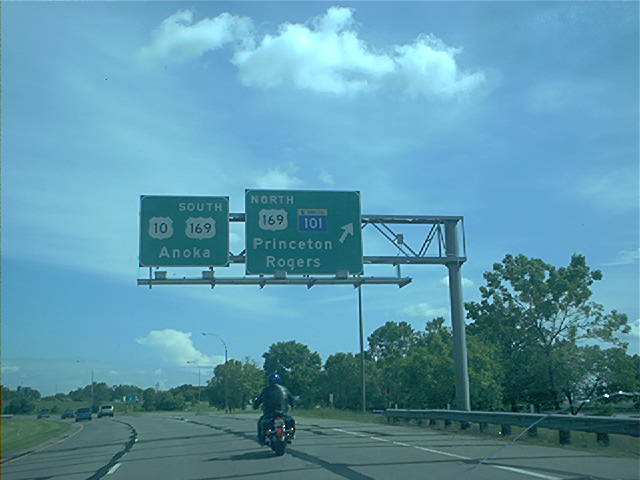
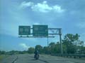
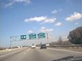
Eastbound at the MN 101/US 169 North interchange
in Elk River. MN 101 begins here and heads south towards I-94. Photo
by Don Greiskalns. |
|

|
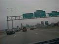
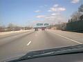
In Coon Rapids, approaching the roadway split
that leads to MN 47 South and MN 610 West. Photo by Don Greiskalns. |
 |
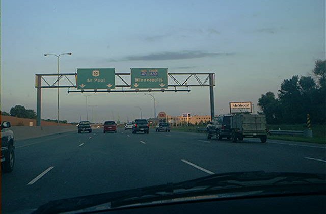
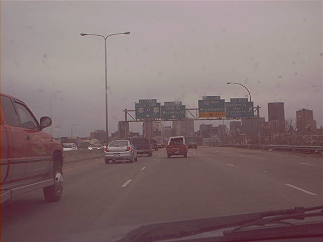
On the I-35E/US 10 duplex approaching
downtown St. Paul. Photo by Don Greiskalns. |
 |
Closer in, showing the guide sign that
was in the background in the above photo. Photo by Don Greiskalns. |
|
|
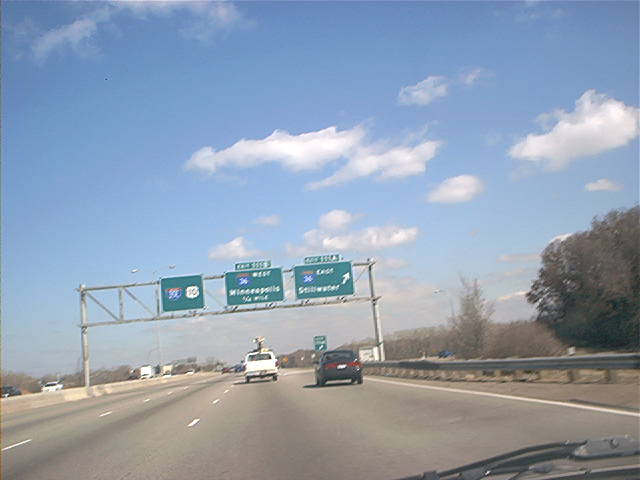
On the US 10/US 61 duplex north of Hastings,
at MN 95's southern terminus. Photo by Don Greiskalns. |
|
|
On the I-35E/US 10 duplex at MN 36 in Roseville.
Photo by Don Greiskalns. |
|
|
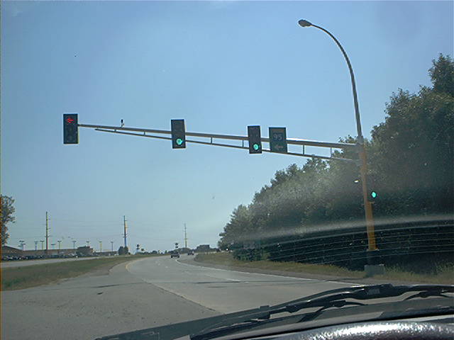
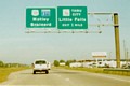
Further north, approaching Little Canada Rd.
Photo by Don Greiskalns. |
|
|
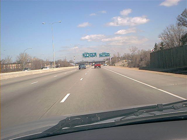
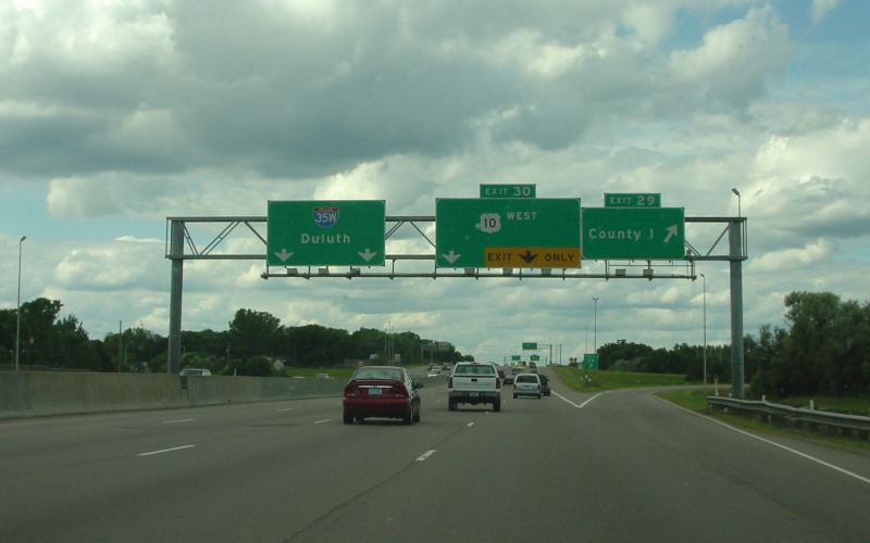
On the I-35W/US 10 duplex at the exit
to County Road I. Photo by Adam Froehlig, taken June 26, 2004.
|
|
|
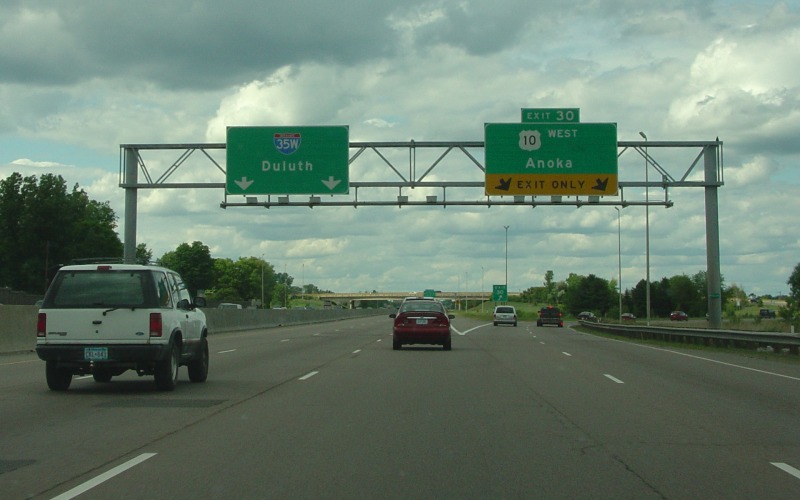
Northbound at the I-35W/US 10 split. This
alignment of the then-new US 10 freeway was completed in 1999. Photo by
Adam Froehlig, taken June 26, 2004. |
|
|
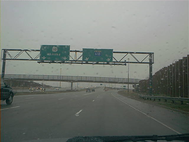
Rainy view of the westbound US 10/MN 610 split.
Photo by Don Greiskalns. |
|
|
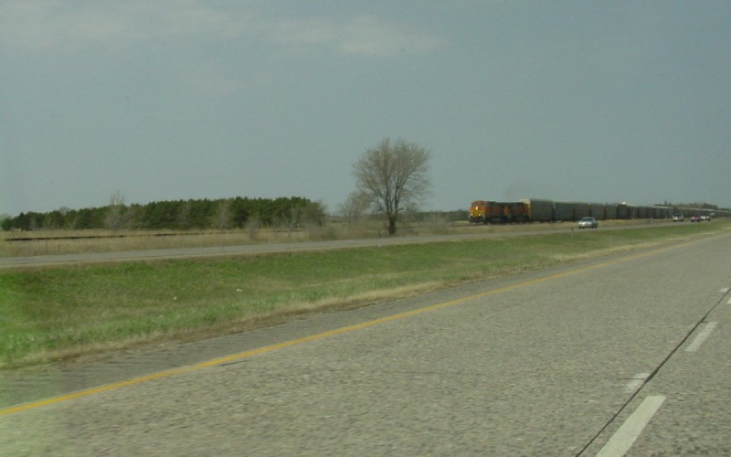
Passing an eastbound train traveling along the
busy BNSF RR tracks between St. Cloud and Minneapolis. A BNSF mainline
parallels US 10 from the Fargo/Moorhead area into the Twin Cities. Also,
notice the very old concrete along this stretch of US 10. Photo by Adam
Froehlig, taken April 25, 2003. |
|
|
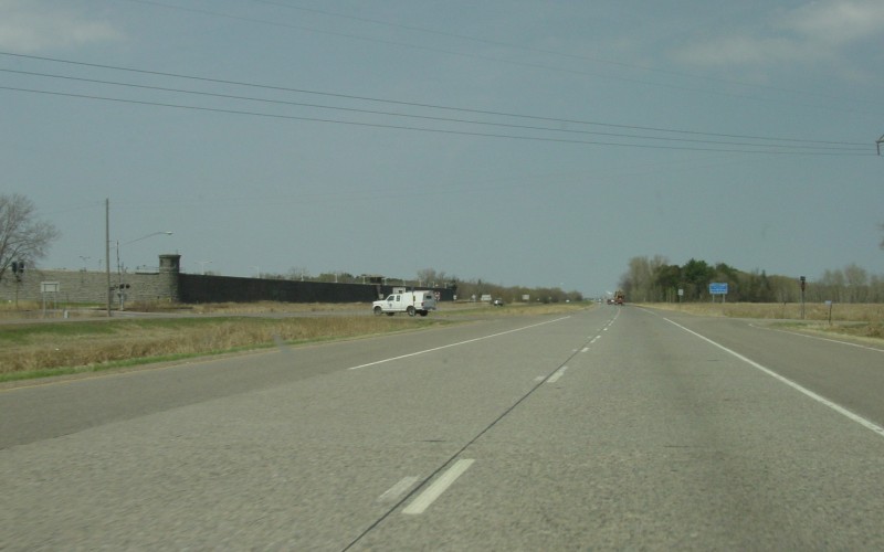
At the MN 301 intersection. Part of St
Cloud State Prison is in the background on the left. Photo by Adam Froehlig,
taken April 25, 2003. |
|
|
Lucky shot of a southbound train,
with St. Cloud State Prison in the background. This is a different-angle
view from that in the above photo.
Photo by Adam Froehlig, taken in December, 1998. |
|
|
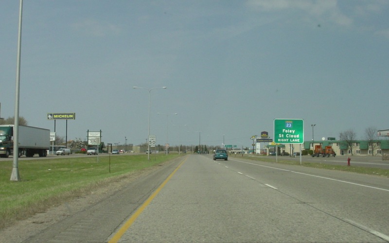
Going through the eastern part of St. Cloud,
approaching the interchange with MN 23. US 10 is generally considered
limited access through St. Cloud, although the speed limit drops to 50 MPH and
there are two traffic signals and an at-grade rail crossing. Photo by
Adam Froehlig, taken April 25, 2003. |
|
|
The interchange with MN 23 is a somewhat substandard
cloverleaf. There are long-range plans to replace this interchange with
a folded-diamond, which would add traffic signals to MN 23 but would allow for
a wider MN 23 bridge and eliminate some weaving areas. Photo by Adam Froehlig,
taken April 25, 2003. |
|
|
The MN 23 bridge over US 10 dates from the 1950s.
Also, at one point US 52 left US 10 to follow this loop to MN 23 West.
Photo by Adam Froehlig, taken April 25, 2003. |
|

|
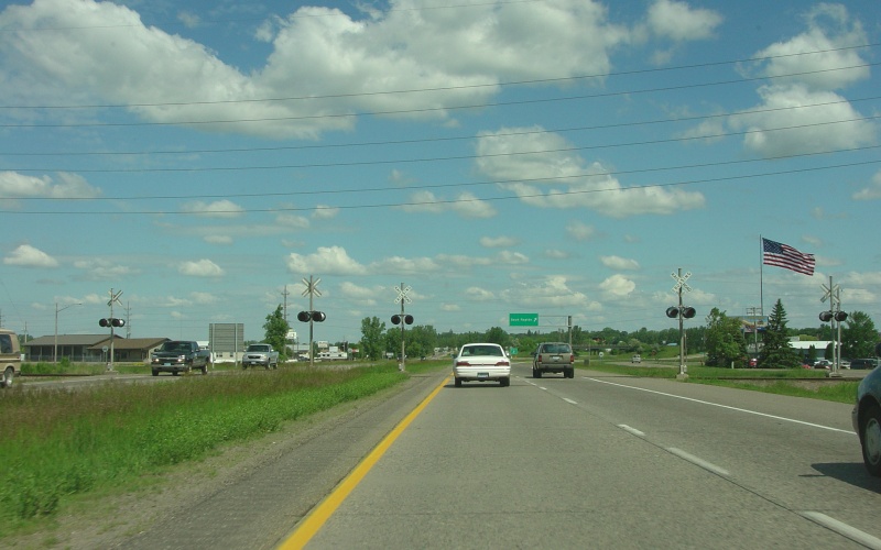
A little north of the St. Germain St
intersection in St. Cloud is this at-grade railroad crossing, one of only a
few remaining along US 10. The exit to Sauk Rapids and the start of
the Sauk Rapids bypass is in the background. Photo by Adam Froehlig,
taken June 22, 2004. |
|
|
This interchange at Benton CSAH 33 was built
in 2003. As you can see, US 10 pavement was also replaced in the
vicinity of the new interchange. Photo by Adam Froehlig, taken June
22, 2004. |
|
|
Just north of the Benton CSAH 33 interchange,
where some old red-tinted pavement remains. Photo by Adam Froehlig,
taken June 22, 2004. |
|
|
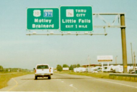
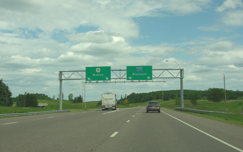
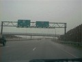
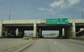
Overhead guide signage for the first exit on
the Little Falls bypass. Of note is that MN 371 is signed here, but doesn't
actually begin for another 4 miles. Photo by Adam Froehlig, taken in 1999. |
|
|
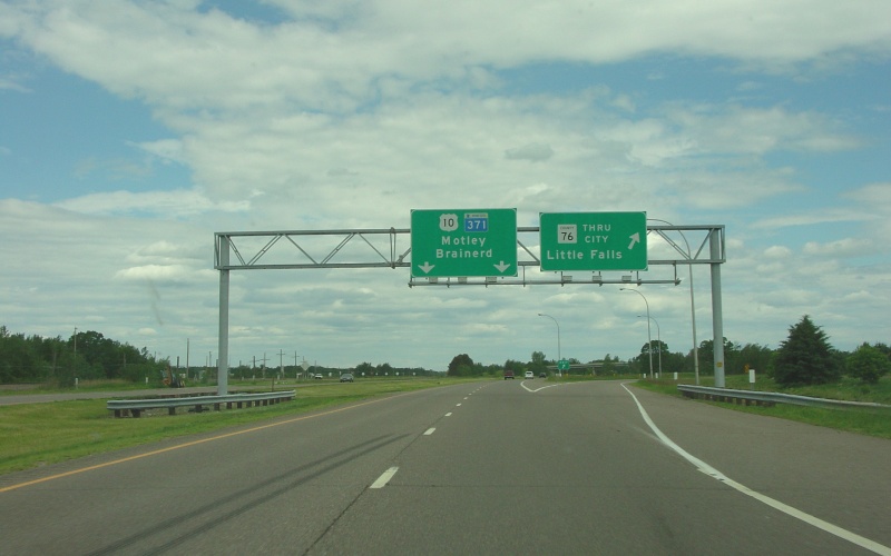
The first of five westbound exits on the
Little Falls bypass is for Morrison CSAH 76. This "Thru City"
designation has existed since the bypass was completed in the mid-1970s.
Photo by Adam Froehlig, taken June 22, 2004. |
|
|
Here's the actual beginning of MN 371, where
it splits off of westbound US 10. Photo by Adam Froehlig, taken June
22, 2004. |
|
|
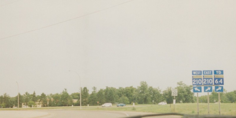
From 1926 until about 1973, US 210 ran
an east-west course from US 10 at Motley to US 61 west of Carlton. The
route was decommissioned in 1973 and replaced with MN 210. Shown here
is where MN 210/Former US 210 junctions with US 10 in Motley. Photo by
Adam Froehlig, taken in 1999. |